
Hills: Beinn Dearg Mor and Beinn Dearg Bheag
Date: Friday 18th June 2010
Company: Just me
Distance: 31km, Ascent: 1830m
Time: 11Hrs 20Mins
Last night I packed my tent and all the associated paraphernalia for a trip to Fisherfield. After lifting the rucksack, I instantly changed my mind and instead decided to just go in and out in a day as walking is much more enjoyable with a light pack! In previous visits to Fisherfield/Letterewe, I have went in three times from Poolewe and twice from Corrie Hallie. Today, for a change, I opted to go in from Gruinard. I parked on a verge near Inchina where there is room for several cars.
Click here to see a map of the route undertaken
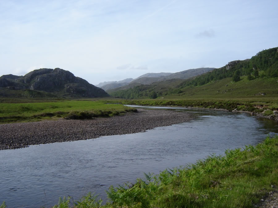
Today the air was filled with birdsong. Cuckoos were cuckooing and sandpipers were piping. Dragonflies and damselflies were darting about playing chase. The five mile walk-in alongside the River Gruinard was really pleasant.
Gruinard River:

Gruinard River:
Looking across Gruinard River towards An Teallach:

As I walked along the track, a dragonfly landed next to me. Unusually, by the time I got the camera out and powered it up, the dragonfly was still there.
Golden-ringed dragonfly:

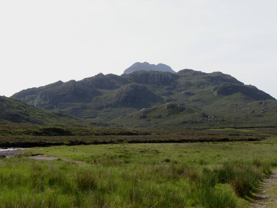
I took to the hillside a few hundred metres beyond the bridge over the Allt Loch Ghuibsachain.
Beinn Dearg Bheag above 348m top:
I ascended towards the 348m top and then skirted round the highest point.
Looking back along Gruinard River towards starting point:
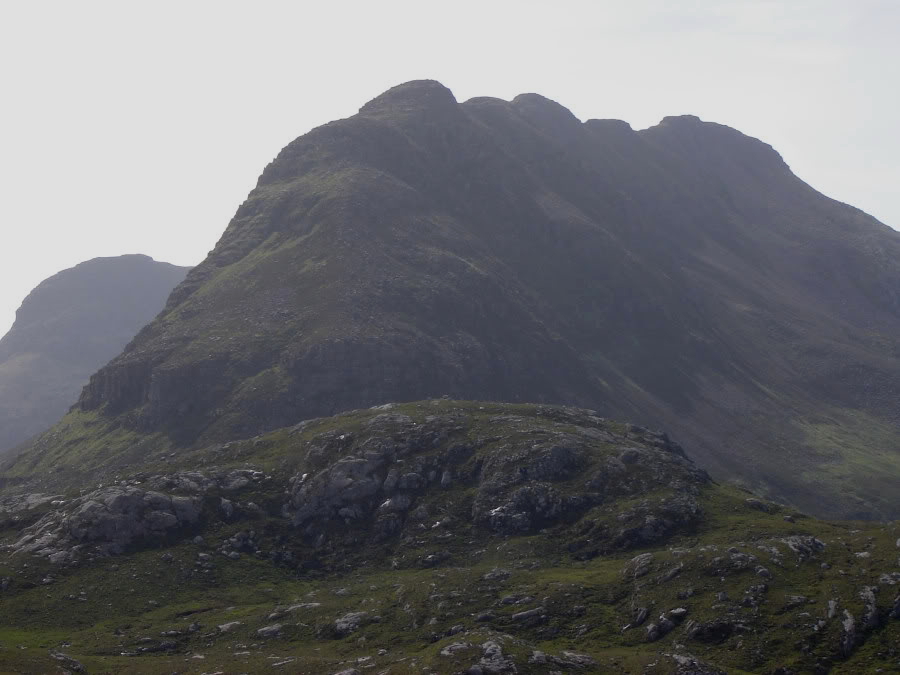
Sail Mhor (zoomed):
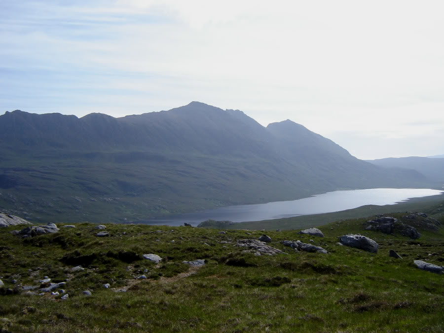
An Teallach across Loch na Sealga:
En-route to the 392m top, I stopped to look in the lochan. I also skirted round the highest point of the 392m top. As I approached Beinn Dearg Bheag it began to look quite intimidating; seriously steep and craggy.
Steep ridge of Beinn Dearg Bheag above 392m top:
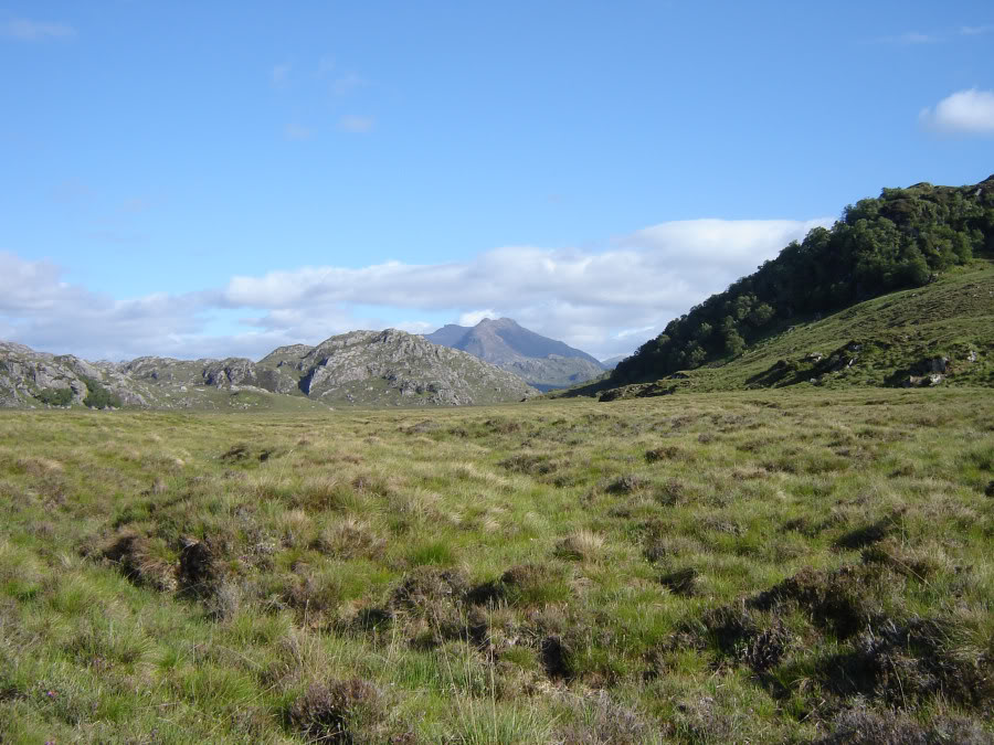
An Teallach:

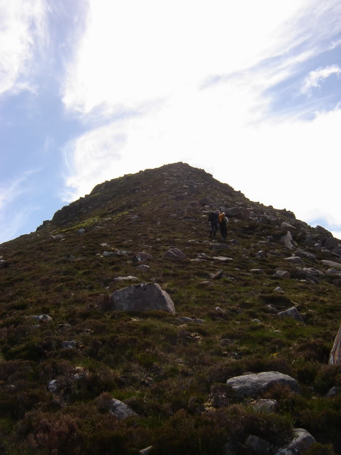
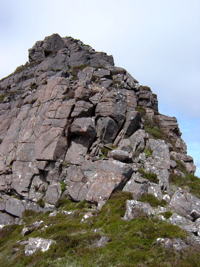
I started my ascent via a wet grassy gully. I could see no human footprints only deer tracks and soon began to question if I was on the best line. I wasn't happy so I descended back to the base and instead began to make my way up the crags. The scrambling didn't last long and soon the ascent became much easier. During the ascent I was overtaken by a couple who had biked in from Gruinard. We met again at various points throughout the day.
Ascent of Beinn Dearg Bheag:
Looking back towards 392m and 348m tops:
Loch na Sealga:
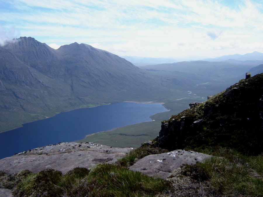
Sail Mhor across Loch na Sealga:
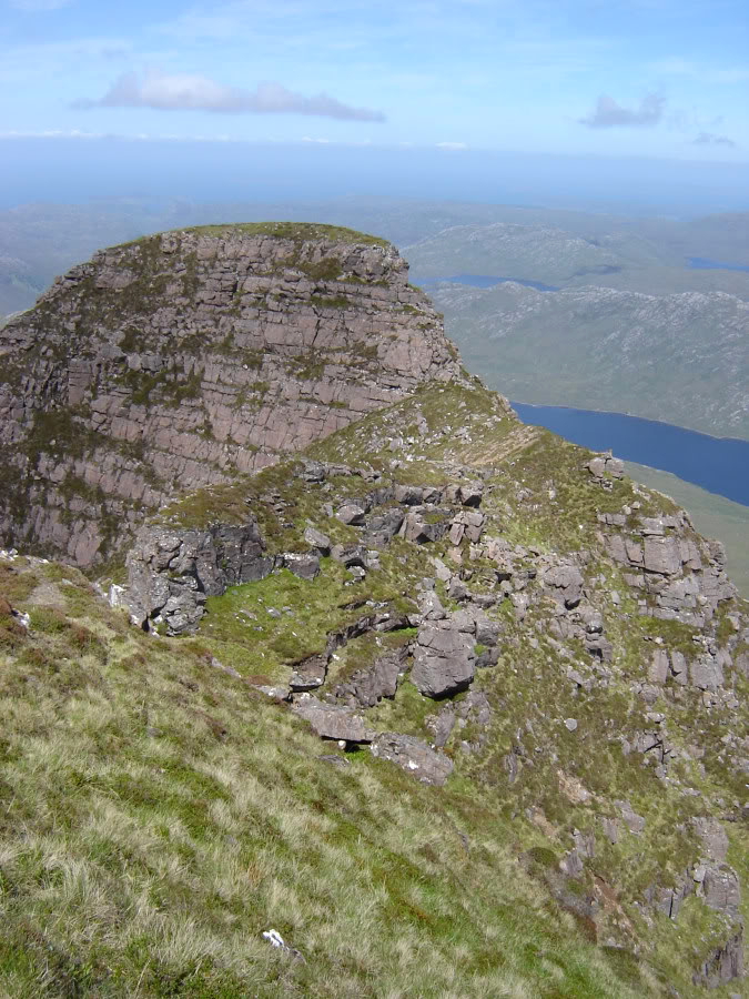
I reached the summit ridge without too much difficulty. The section of ridge beyond, leading towards the summit, involved scrambling, some avoidable and some unavoidable. I wouldn't recommend this route to anyone who doesn't like scrambling or exposure.
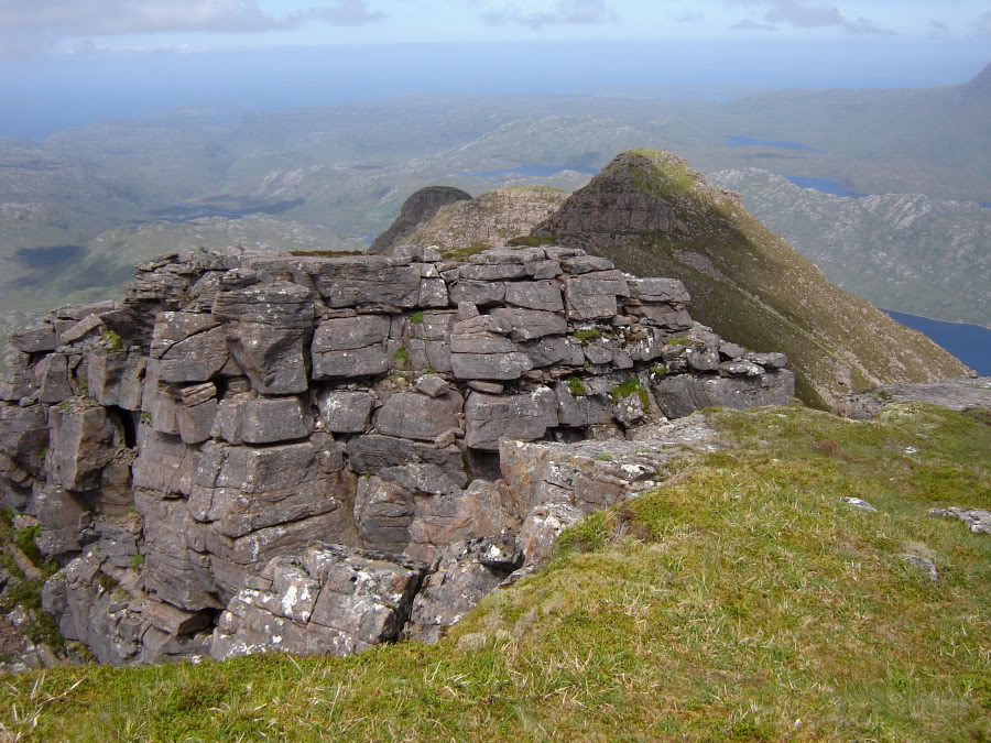
Cairn marking start of summit ridge:
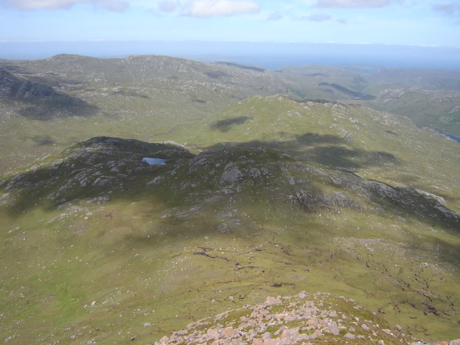
Ruadh Stac Mor and A'Mhaighdean:
Ridge ahead:

Looking back at the down-climb:
Next section of ridge:

Looking back along the ridge:
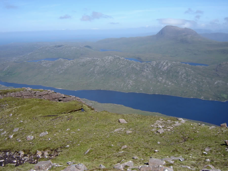
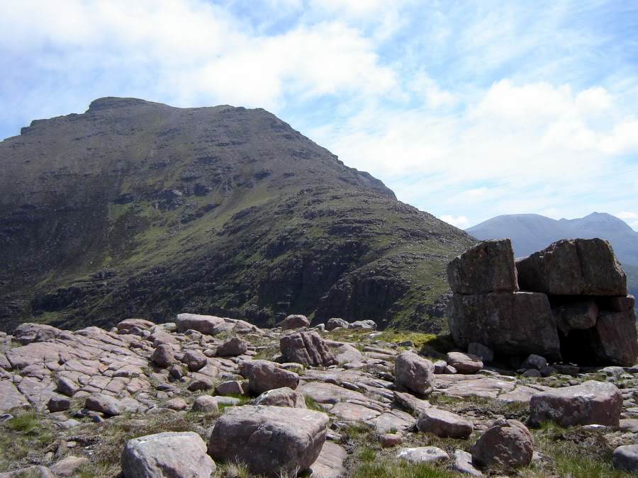
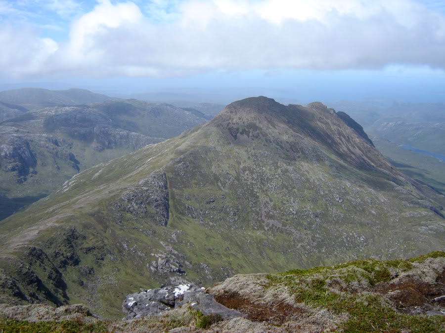
Beinn a' Chaisgein Mor:
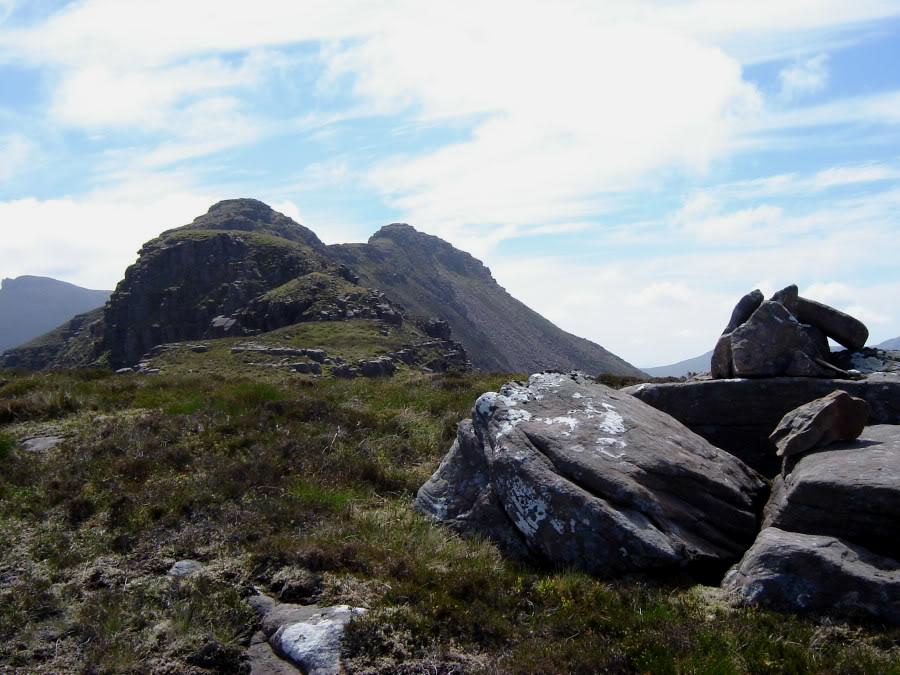
Looking towards the summit of Beinn Dearg Bheag:
I was glad there was an easy by-pass around the next bit.
Looking back at avoidable down-climb:

I spent a brief period at the summit speaking with the couple who had overtaken me earlier.
Looking back along ridge from summit of Beinn Dearg Bheag:
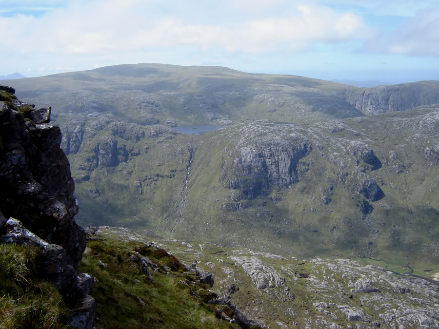
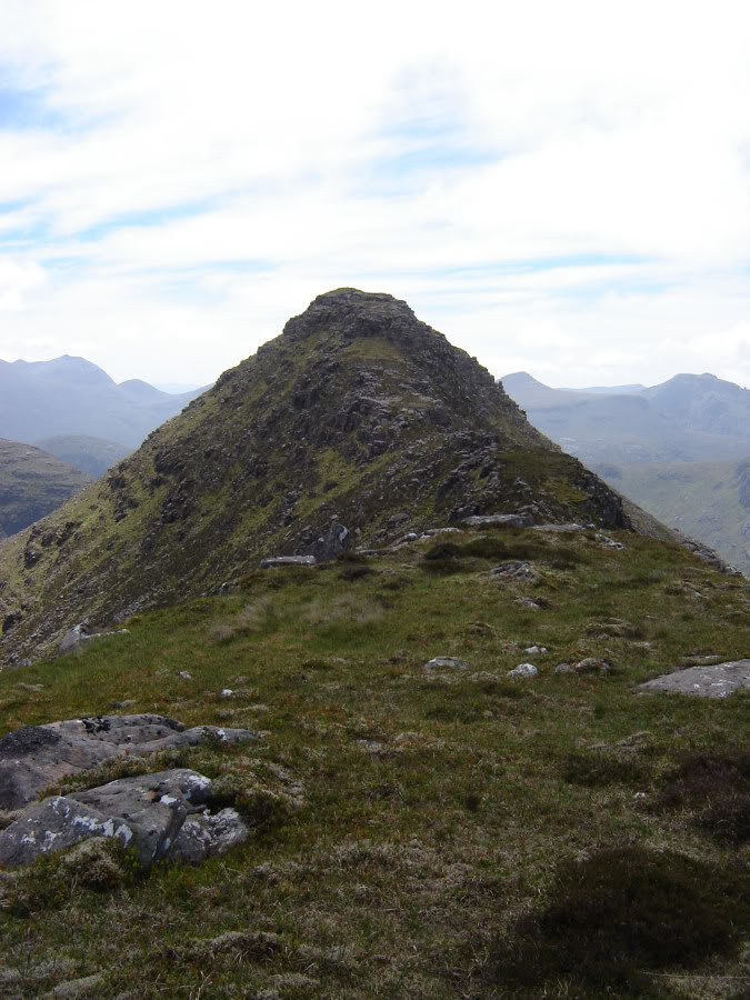
The descent from Beinn Dearg Bheag towards Beinn Dearg Mor was straight-forward as was the ascent of Beinn Dearg Mor.
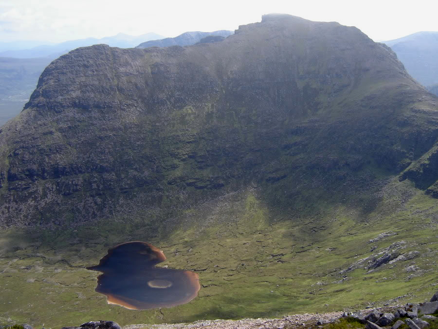
Beinn Dearg Mor and Loch Toll an Lochain:
Beinn Dearg Mor from the bealach:
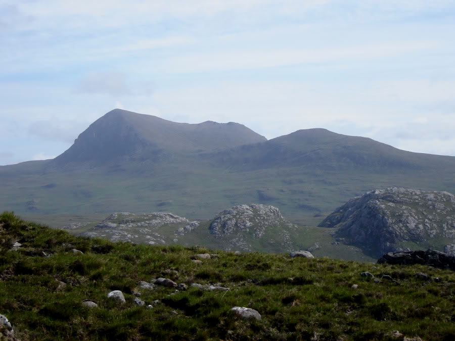
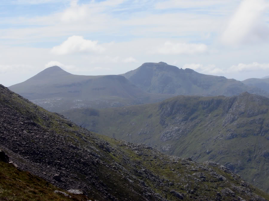
Sgurr Ban, Mullach Coire Mhic Fhearchair and Beinn Tarsuinn:

Beinn a' Chlaidheimh:

During the ascent of Beinn Dearg Mor, I misjudged my current height and was pleasantly surprised to reach the large summit cairn when I thought I still had a further 100m of ascent ahead.
Approaching the summit cairn of Beinn Dearg Mor:

Looking down towards Shenavall:
Beinn Dearg Bheag from Beinn Dearg Mor:
The nearby pinnacle was so tempting, I had to get my photo taken on it. It is much easier to ascend than it looks.
Myself on pinnacle near summit:

Pinnacle near summit:

After a quick bite to eat, I returned to the col between Beinn Dearg Mor and Beinn Dearg Bheag before descending into Coire Toll an Lochain.
Approaching Loch Toll an Lochain:

Beinn Dearg Bheag from Coire Toll an Lochain:

Loch Toll an Lochain had a number of large tadpoles in it.
Tadpoles in Loch Toll an Lochain:

Beinn Dearg Mor from Coire Toll an Lochain:

Beinn Dearg Bheag:

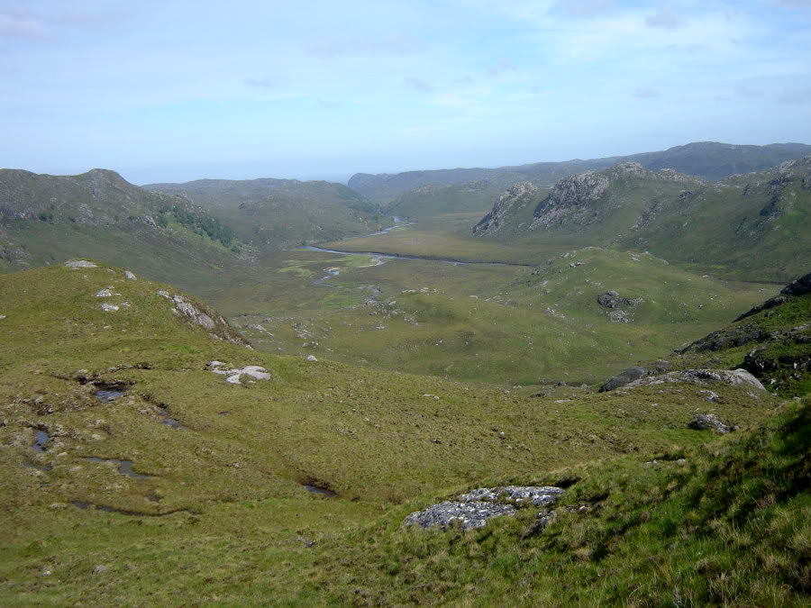
The descent towards Loch na Sealga was steep but straight-forward.
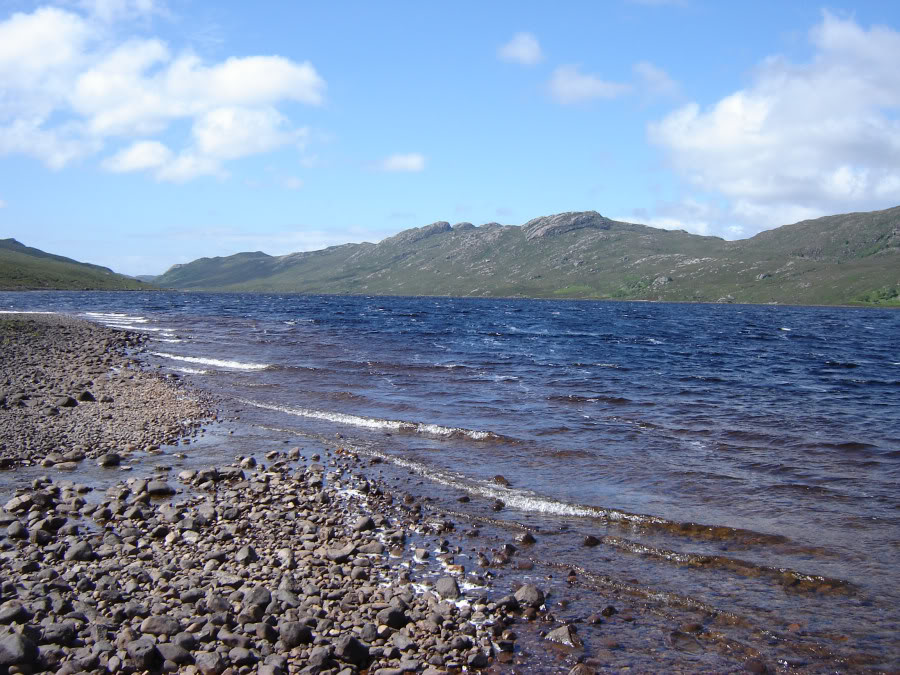
Loch na Sealga:
The track alongside Loch na Sealga is not fantastic. At one point I lost the track and ended-up wading through thigh-deep bracken. I felt relieved to reach the end of Loch na Sealga but disappointed that the boat house marked on the 1:25000 map was no longer there.
Loch na Sealga:

The five mile walk from Loch na Sealga back out to Inchina was quite sore on the feet. During the walk out a sandpiper was flying alongside me from rock to rock.
Looking back towards Beinn Dearg Bheag and Beinn Dearg Mor:
I really enjoyed this walk albeit it was a long one. Definitely one of my favourite walks/scrambles to date.