Hill: Cook’s Cairn
Date: Friday 9th January 2009
Company: Myself and Beinn
Time: 3hrs 50mins
Weather: Perfect
On researching the demoted Corbett "Cook’s Cairn" yesterday evening, I discovered that the walk from Cabrach through to Glenlivet is an ancient Rights of Way called “the Steplar Road”. I also noticed some unusual names on the map including, “Dead Wife’s hillock” and “Thiefsbush hill”. As I intended walking the whole way, and not using a bike, I opted for the approach from Aldivalloch (near Cabrach). This would be a slightly shorter route, than the route from Glenlivet, but with more ascent and descent. This would also let me visit Dead Wife’s hillock.
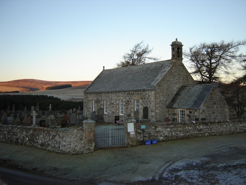
With a good North-East forecast, I set off this morning on the 45 minute drive from home to Aldivalloch. To get to Aldivalloch turn off the A941 at the sign for Cabrach Church and then continue along single track road for 1.5 miles. The single track road this morning was very icy.
Cabrach Church:
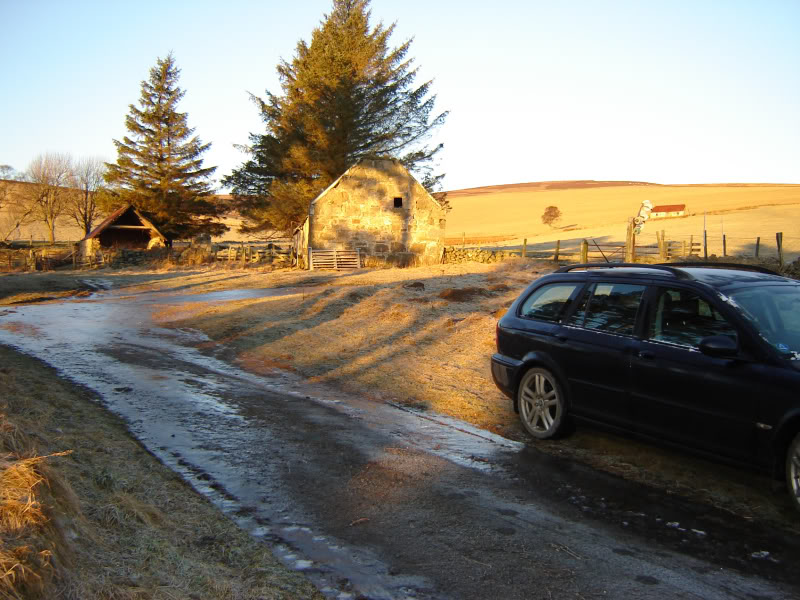
Aldivalloch (Starting Point):
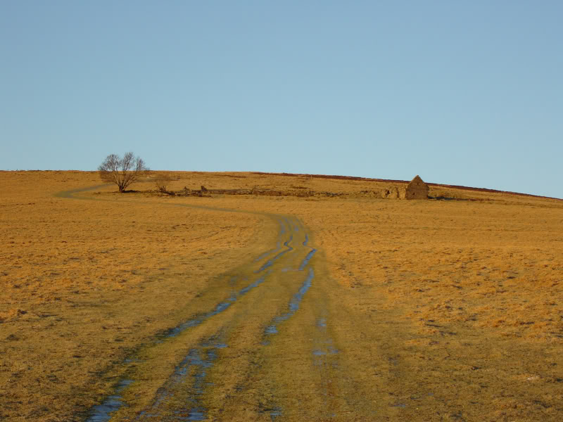
The weather was perfect from the outset albeit a bit chilly. The initial ascent is up nice short grass taking you past a small ruin.
Ascent from Aldivalloch:
After passing through a gate you next follow a good track which after just over 1km takes you to the top of Dead Wife’s hillock (543m) - which is really just the bealach between Round hill and Rounomuck hill. I haven’t been able to find out why it is named as such. It is at the top of Dead Wife’s hillock that you get your first glimpse of Cook’s Cairn, as well as fine views back to Tap o’Noth and The Buck.
Cook’s Cairn from Dead Wife’s Hillock:
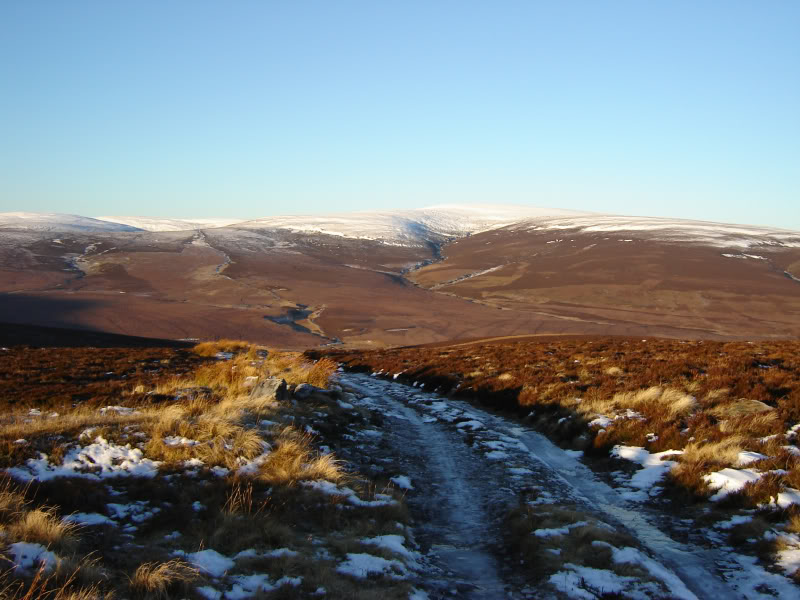
Looking back from Dead Wife’s Hillock:
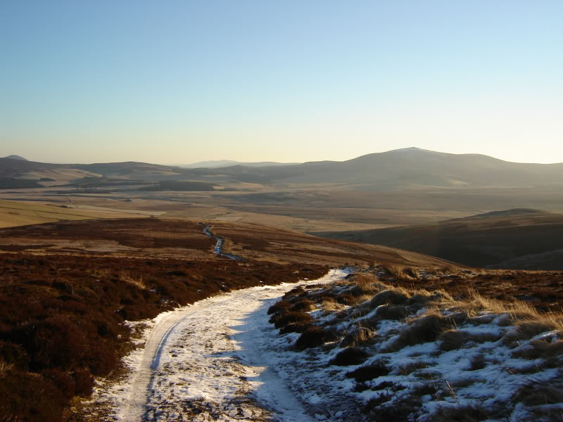
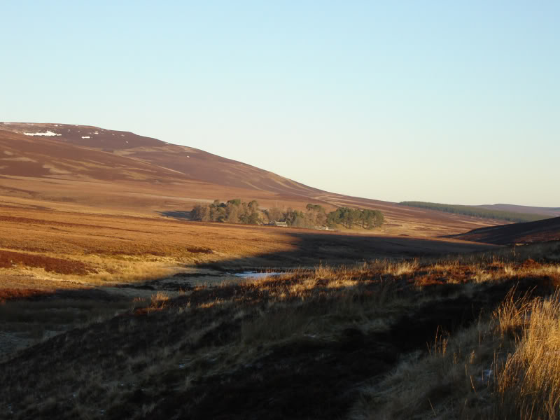
You lose 140m in the next section as you follow the track downhill to the crossing of the Black Water. At the crossing you can see Blackwater Lodge about 2km away.
Blackwater Lodge (zoomed):
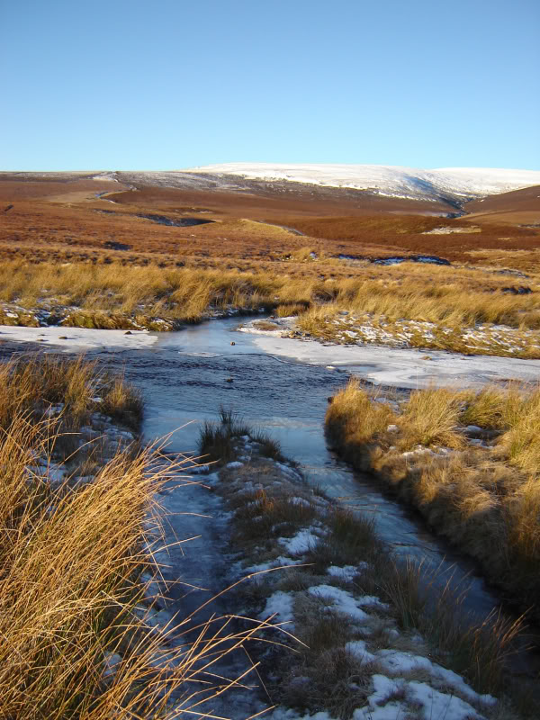
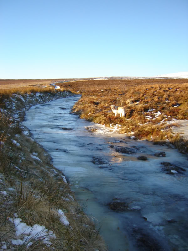
The crossing of the Black Water proved quite straight-forward (only around 6-10 inches deep). Beinn must have found the crossing quite cold!
Black Water crossing:
I continued to follow the very icy track for around another 1.5km before taking to the hillside.
Icy track:
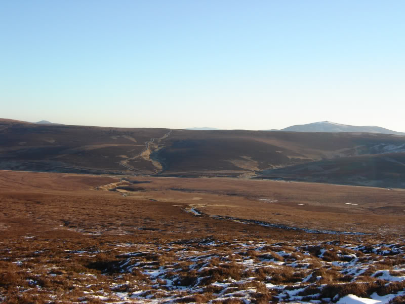
After leaving the track, the initial ascent was through quite short heather. Got good views back to Tap O’Noth, Dead Wife’s hillock (and our 140m descent) and The Buck.
Tap O’Noth, Dead Wife’s Hillock and The Buck:
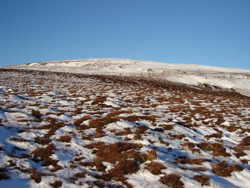
It didn’t take long before we reached the snowline.
Cook’s Cairn lower slopes:
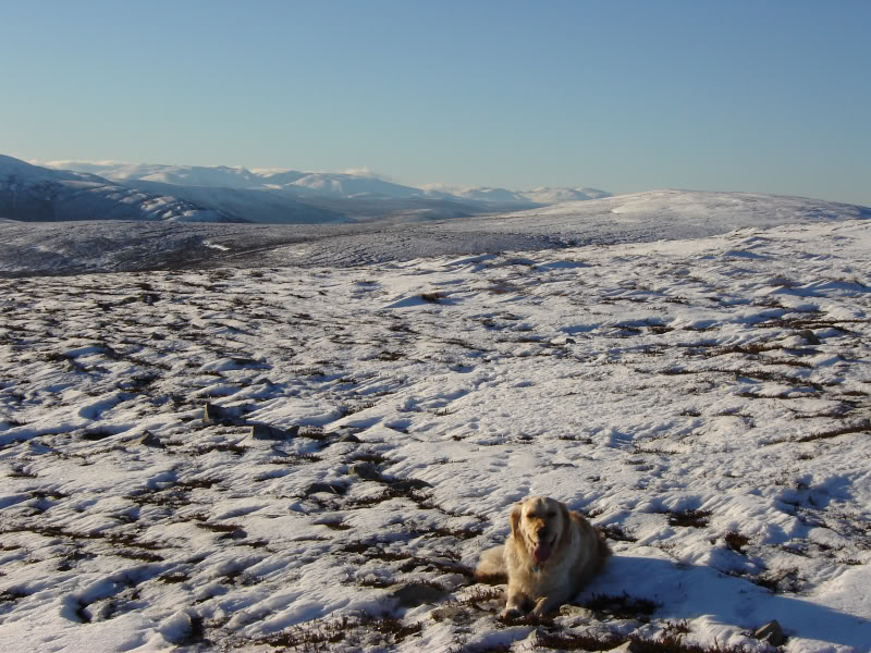
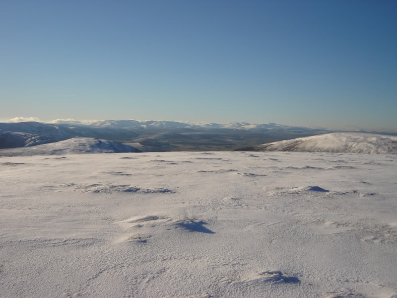
As we got a bit higher up, we started getting fine views into the Cairngorms (Ben Avon and Beinn a’Bhuird, etc.)
Distant Cairngorms:
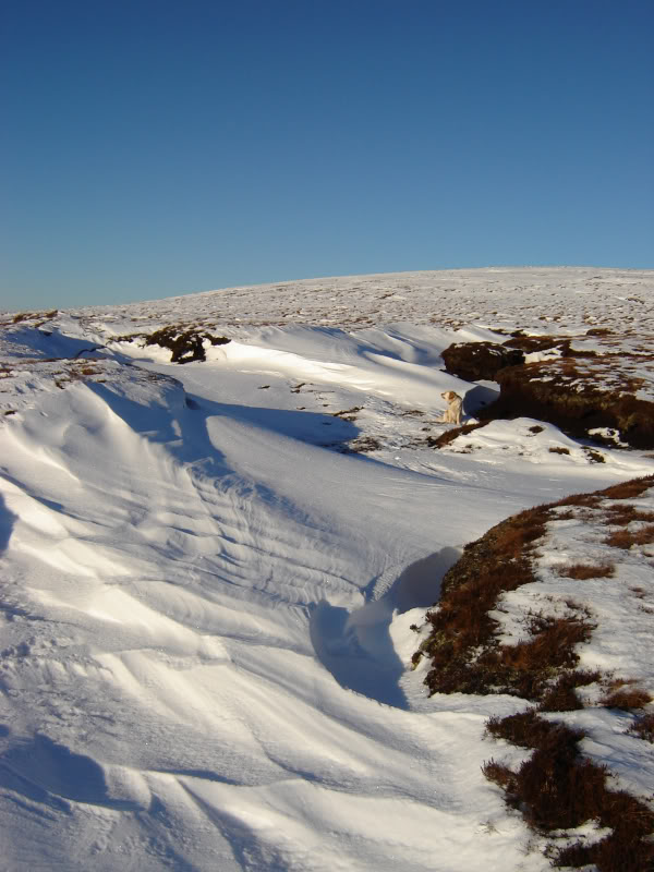
There were a few peat hags during the ascent but all were easily avoided and filled with snow anyway.
Snow-filled hags:
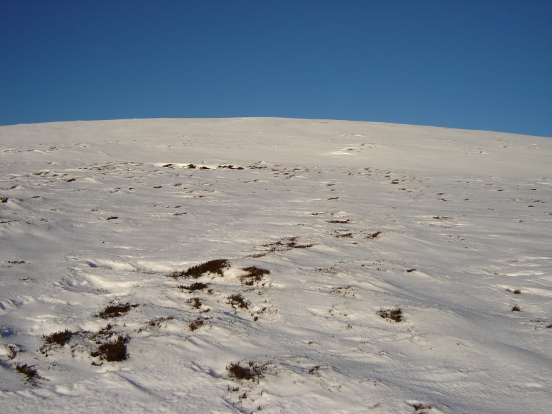
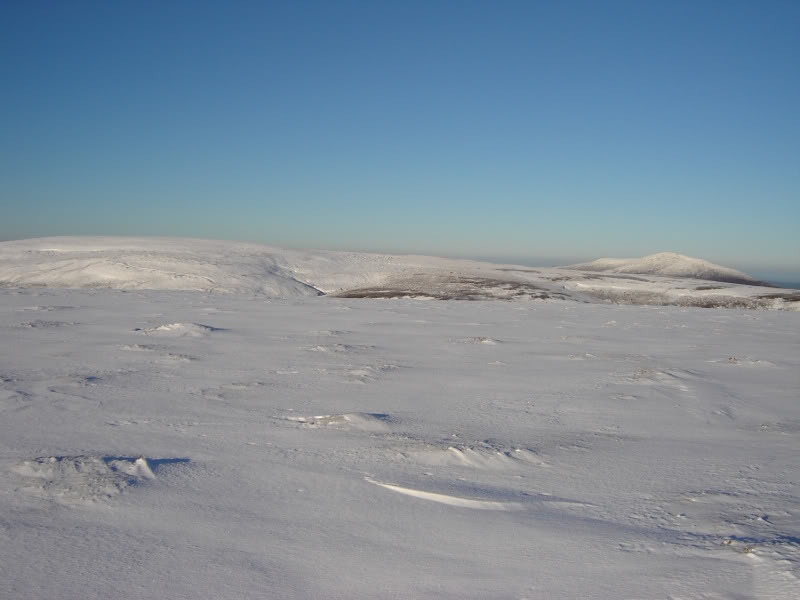
There are a couple of times during the ascent that you think you are approaching the summit when another rise appears in front.
Final slopes of Cook’s Cairn:
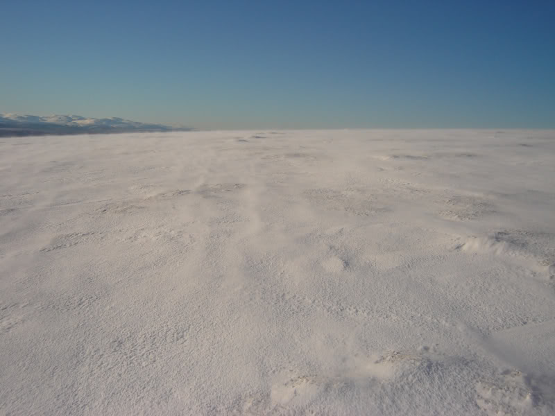
It was quite blustery as we approached the flat summit plateau and cairn.
Spindrift approaching summit:
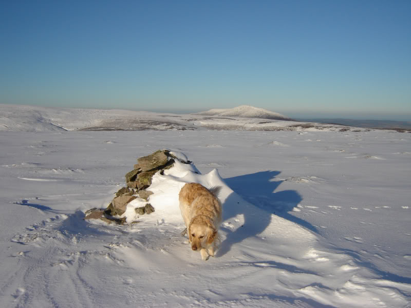
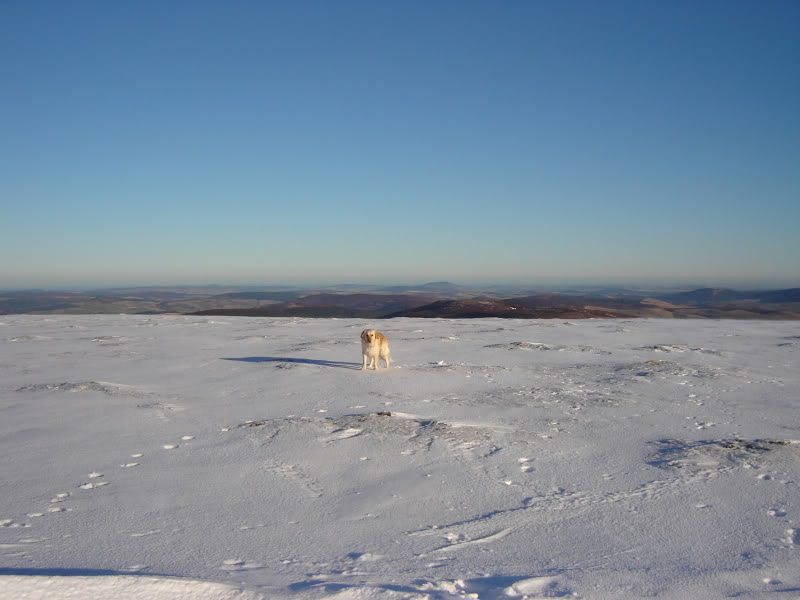
Was quite surprised at how close Corriehabbie hill is to Cook’s Cairn. Ben Rinnes is also not too far away. We stopped for around five minutes at the summit, to take some pictures, before starting our descent.
Summit of Cook’s Cairn:
Corriehabbie and Ben Rinnes:
Cairngorms:
View North:
We returned to the car via the same route.
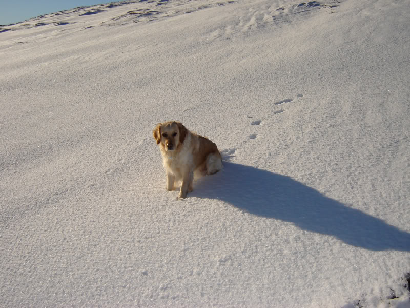
Beinn: