
Hills: Sgorr nan Lochan Uaine and Sgurr Dubh
Date: Saturday 12th September 2009
Company: Just me
Time: 7hrs 10mins
Click here to see a map of the route undertaken
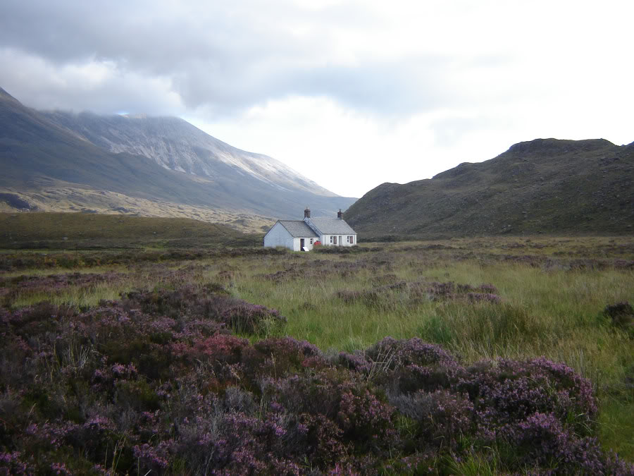
Parked at the Beinn Eighe car park and set off along the track skirting Lochan an Iasgair and the Ling hut.
Ling Hut:
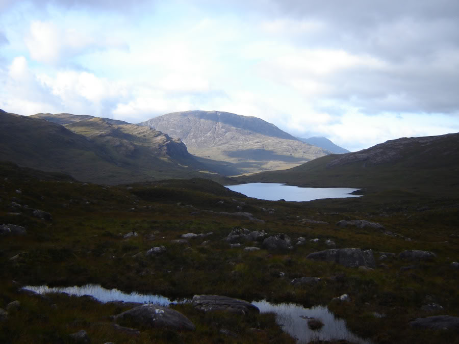
I followed this path for several kilometres, passing Lochan Neimhe en-route.
Looking across Lochan Neimhe:
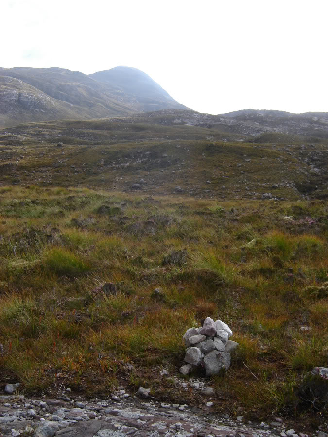
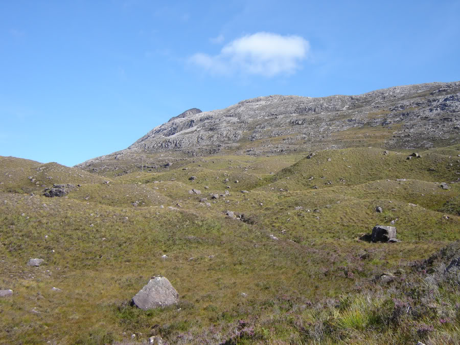
I left the track at a small marker cairn at a height of circa 300m.
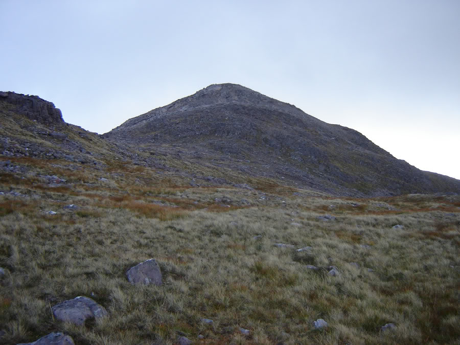
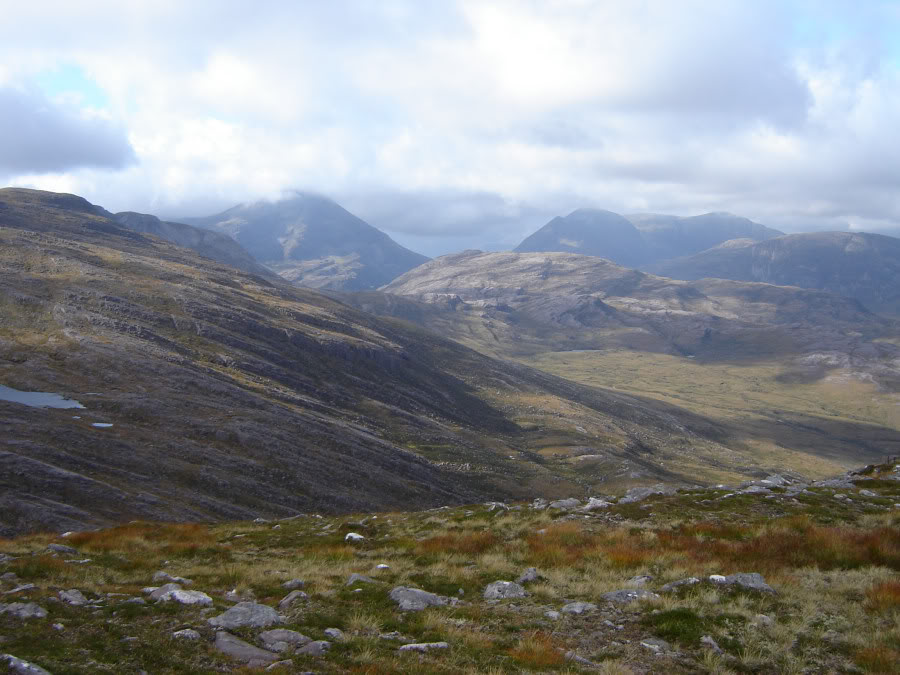
Sgorr nan Lochan Uaine from path:
The next 1.5km, and 500m of ascent, was up quite straight-forward grassy terrain with easily avoidable sandstone boulders.
A distant Loch Torridon:

Sgorr nan Lochan Uaine:

Sgorr nan Lochan Uaine:
Looking South:
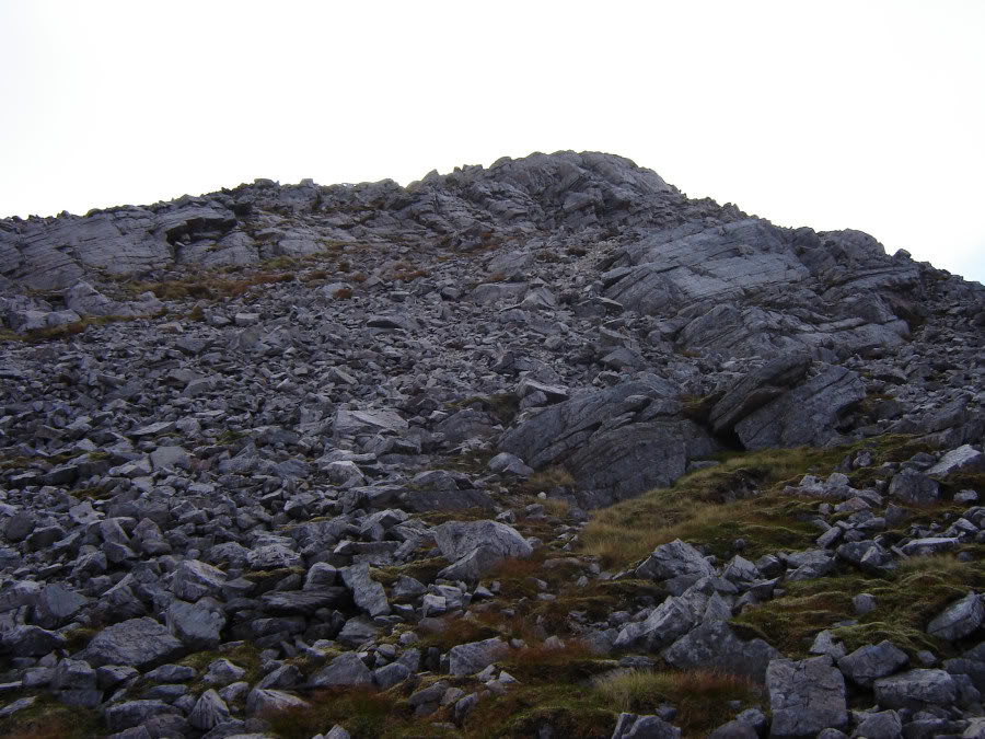
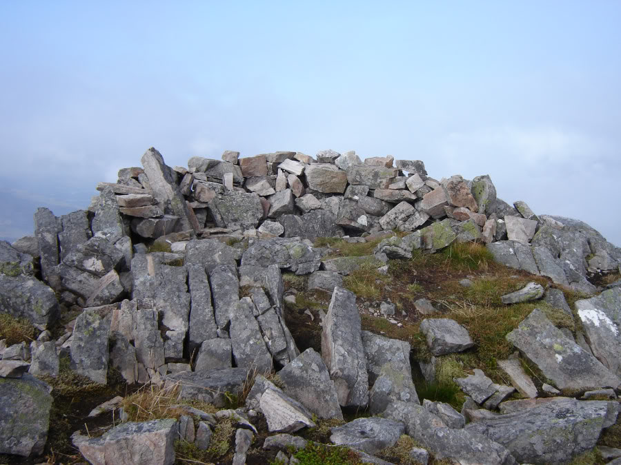
The final section of Sgorr an Lochan Uaine was up steep scree and boulders. At the summit I stopped for a few minutes in the stone shelter - a nice easy walk until this point.
Rocky top of Sgorr nan Lochan Uaine:

Rocky top of Sgorr nan Lochan Uaine:
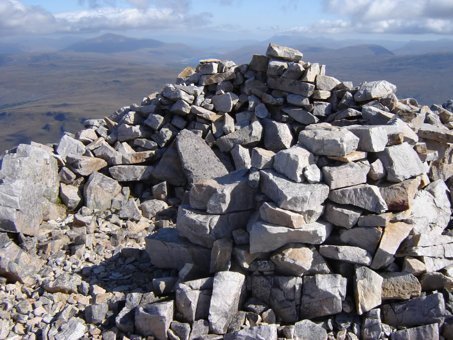
Summit shelter:
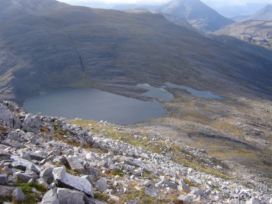
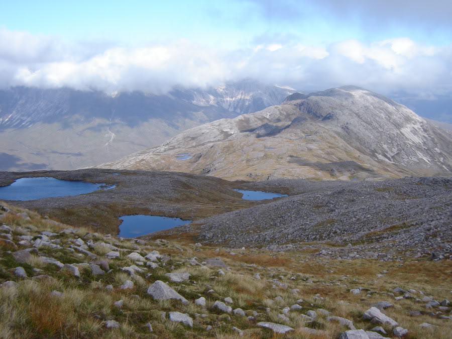
Lochan Uaine:
I hadn’t really paid much attention to the SMC guide route for these hills so from now on it was pretty-much make it up as I went along. I did remember that the Corbett’s book described the terrain between Sgorr an Lochan Uaine and Sgurr Dubh as a, “navigational nightmare in the mist”. Thankfully, visibility was terrific. Route-finding was still however quite interesting. The terrain between the two Corbetts involves many ups, downs, rights, lefts, over outcrops, round outcrops, not to mention having to avoid countless lochans. Despite this, I thought the walk between the two was quite fantastic.
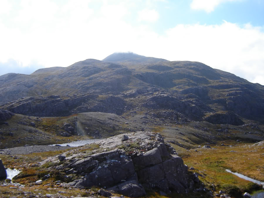
Sgurr Dubh from Sgorr nan Lochan Uaine:
Sgurr Dubh:

Looking back to Sgorr nan Lochan Uaine:

Looking back to Sgorr nan Lochan Uaine:

Looking back to Sgorr nan Lochan Uaine:
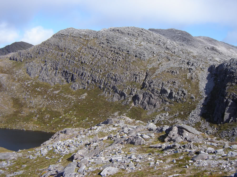
Sgurr Dubh:
Ascending Sgurr Dubh:
After a couple of kilometres the endless sandstone is replaced with even more quartzite scree and stones.
Ascent to right of stones:

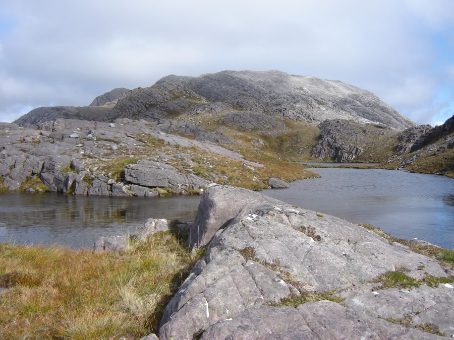
Lochans:
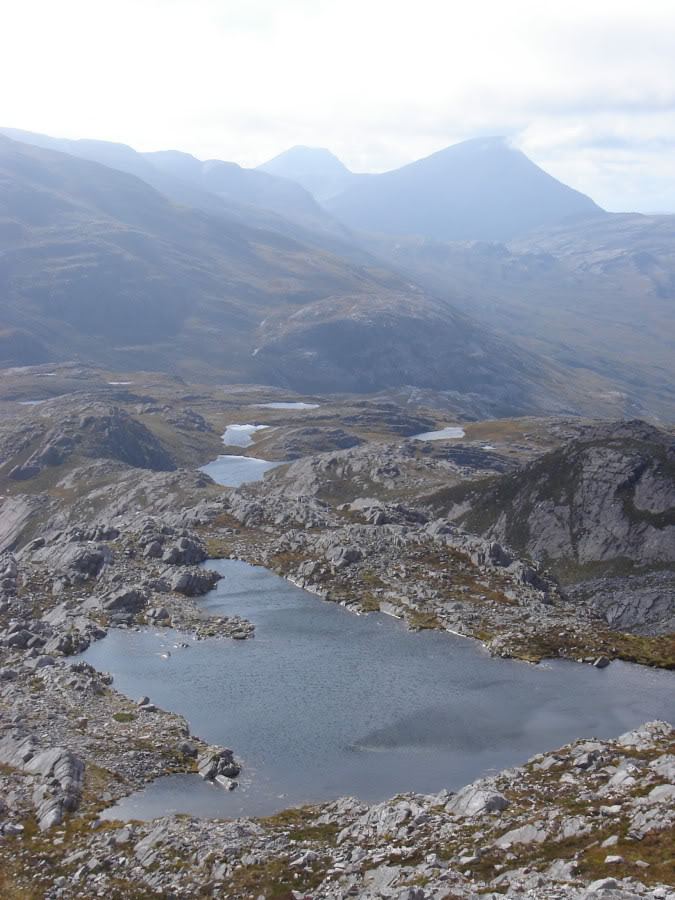
Quartzite approach to summit:

At the summit I stopped for quite a while to take in the views as the weather had improved significantly by this point. From a quick look at the map, I realised that the descent from the summit back to the car park could potentially be interesting (700m of descent in around two kilometres).
Summit of Sgurr Dubh:
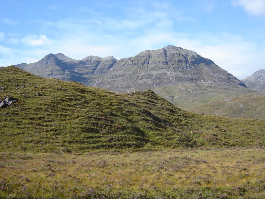
Beinn Eighe from summit of Sgurr Dubh:
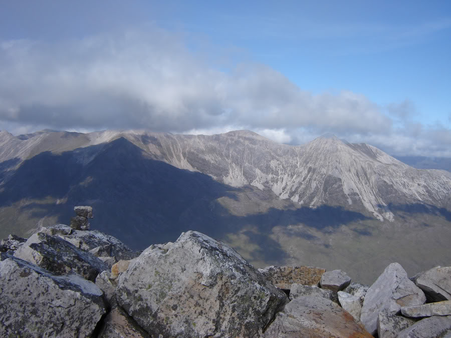
Liathach from summit of Sgurr Dubh:
I headed WSW from the summit taking a line that avoided the crags.
Looking back during descent:

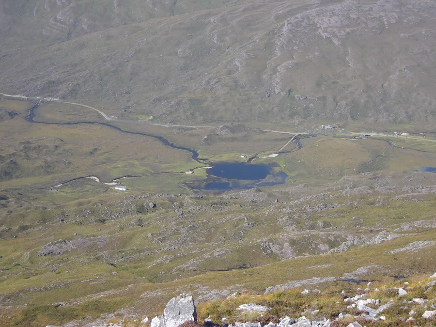
Looking down towards Ling Hut and road:
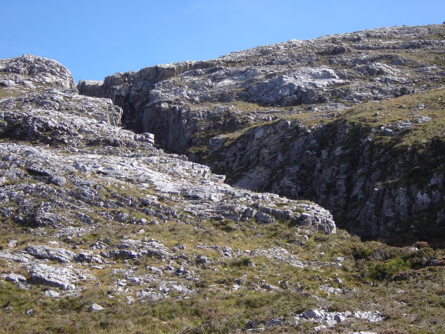
I was really surprised to find an impressive gorge on the way down which I didn’t see marked on the map. I descended by following the edge of this gorge down to the bottom.
Descending next to gorge:
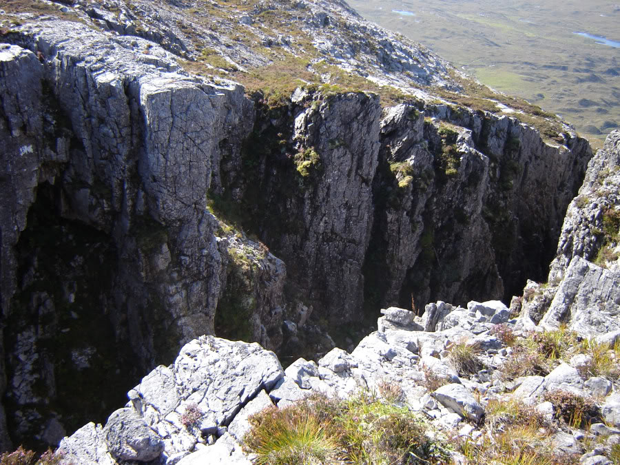
Gorge:
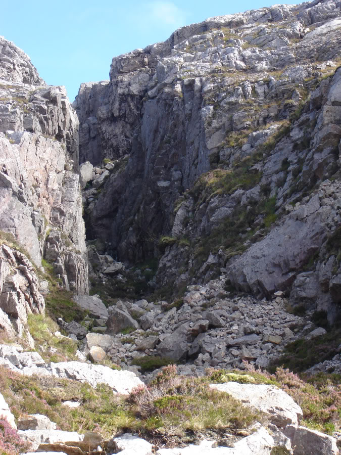
Gorge:
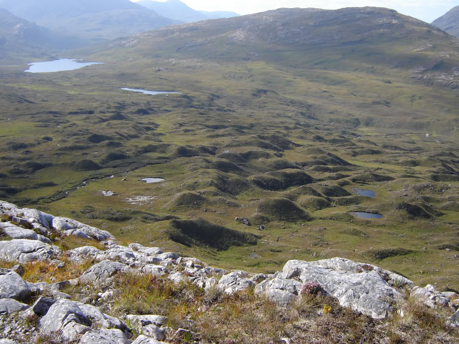
From the base of the gorge I set off in an attempt to find a route around and over the many bumps to get back to the path near the Ling hut.
Moraine bumps:
Looking back to Sgurr Dubh:
Beinn Eighe and Ling Hut:
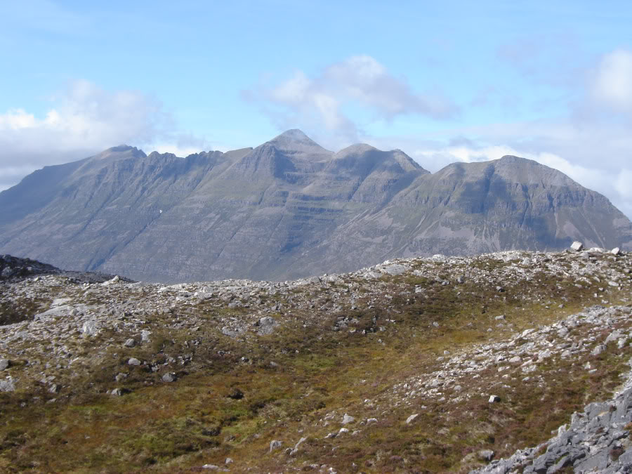
Liathach:
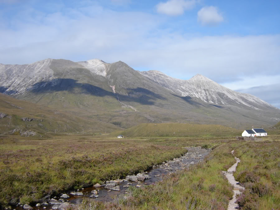
These are a terrific pair of Corbetts, over-shadowed by Liathach and Beinn Eighe on the other side of the road.
If you want an exercise in route-finding, these hills will make a fine outing.