
Hills: Farrmheall and Ghlas-bheinn
Date: Friday 28th May 2010
Company: Just me
Dog friendly: Yes
The weather this morning in Ullapool was somewhat wet. Having spent the past few days in and around Ullapool, I was happy to drive for a change of scenery. I checked out various forecasts on the off-chance that I might escape the rain. I found out about a new weather site a few weeks ago which I have already found quite useful. XCWeather was indicating several hours of sunshine near Sandwood Bay! I set off towards Durness. En-route the rain was torrential in Elphin and Inchnadamph. Would it be any better further North?
Between Laxford Bridge and Rhiconich I stopped to take a photo of the roadside rocks. According to one of my books this is, “Lewisian rocks exposed in a rock cutting. Older grey gneiss cut by black dykes, both of which are cut by younger pink granite veins.”
Interesting roadside geology:

There are eight Marilyns located within the Cape Wrath peninsula. Today I opted to nibble at the edge of Cape Wrath ascending both Farrnheall and Ghlas-bheinn. I know that Cape Wrath is occasionally used for military purposes and that the map highlights several “Danger Areas”. For the ascent of Farrmheall, I parked in a small car park next to the bridge at NC310570, where there is room for 2 or 3 cars. The ascent was straight-forward up pleasant gentle grassy slopes.
Farrmheall:
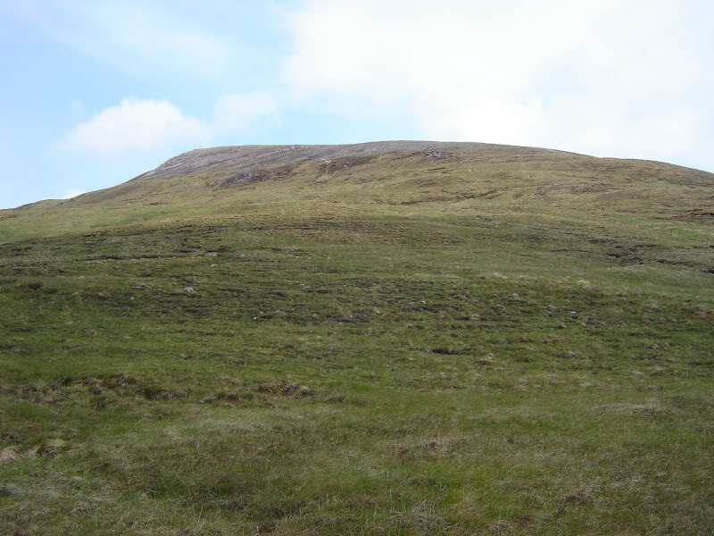
Ascent of Farrmheall:
Looking back towards car:

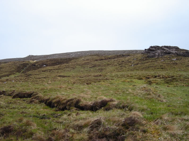
After passing a small sandstone tor, I was surprised to find a traffic cone up the hill. En-route to the summit, I found several more traffic cones. I have no idea why they are there, the only thought that came to mind was that the A835/A838 are in such a mess with pot-holes and lack of road surface that they intend routing the traffic up the hill instead.
Cloud-capped Foinaven:
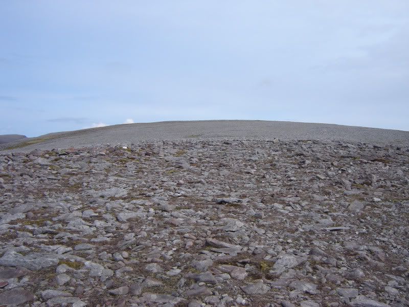
The final 70m of ascent is quite gradual, over lots of small stones.
Stony approach to summit:
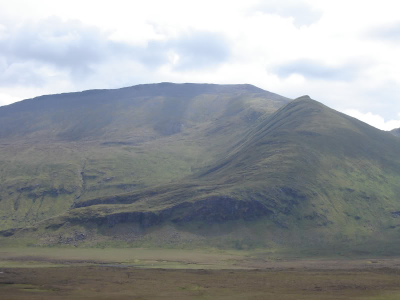
En-route to the summit Creag Riabhach caught my eye. I hadn’t seen it or heard of it previously. It looks an incredible hill, now right up my wish list.
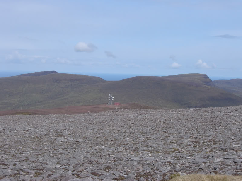
An Grianan, Creag Riabhach and mast on 460m top:
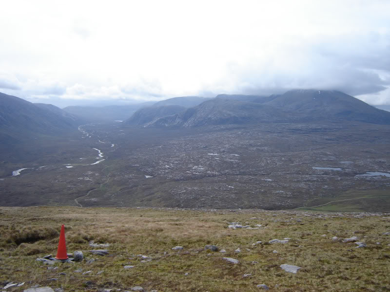
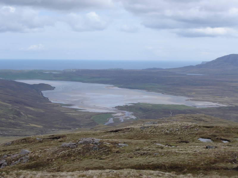
Looking towards Durness from summit of Farrmheall:
Beinn Spionnaidh and Cranstackie from Farrmheall:
I returned to the car via the same route. While back at the car, Foinaven briefly shed its’ cloud. Ten minutes later it was again covered in cloud.
Foinaven:
For the ascent of Ghlas-bheinn, I parked past Carbreck. In hindsight, it would have been simpler to walk between the hills and then back along the A838 to the car.
Cioch Mhor ridge of Beinn Spionnaidh:
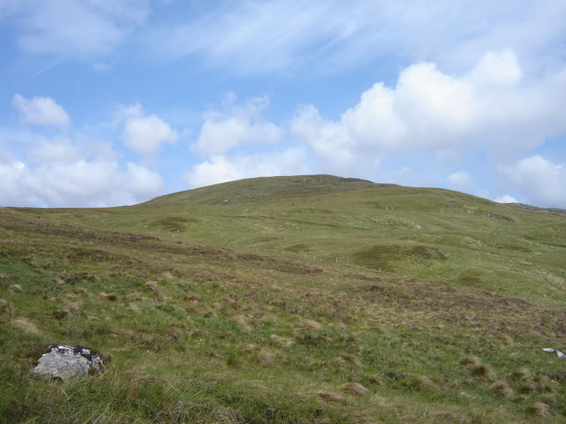
The ascent of Ghlas-bheinn is also straight-forward up pleasant gentle grassy slopes.
Ghlas-bheinn:
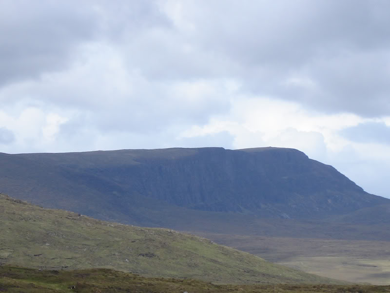
I initially ascended to Am Bealach, which I found to be very wet underfoot. Creag Riabhach has nice cliffs.
Creag Riabhach:
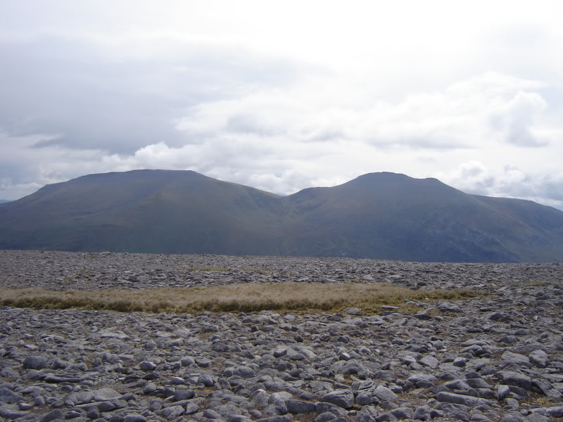
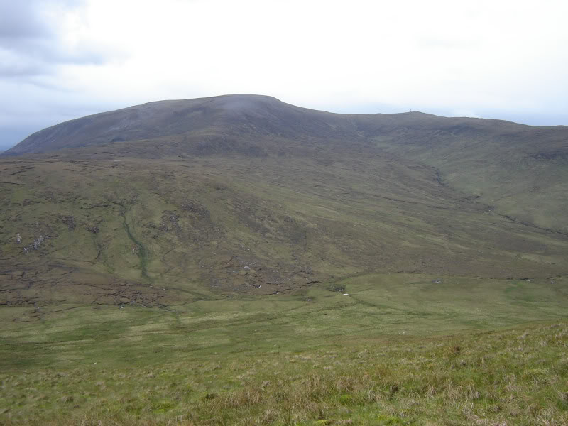
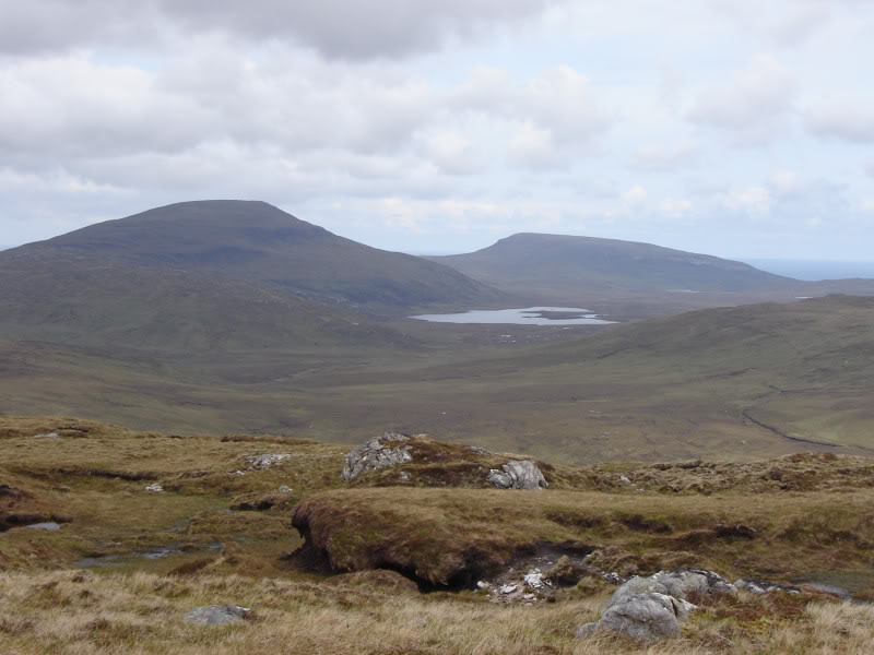
Farrmheall from Ghlas-bheinn:
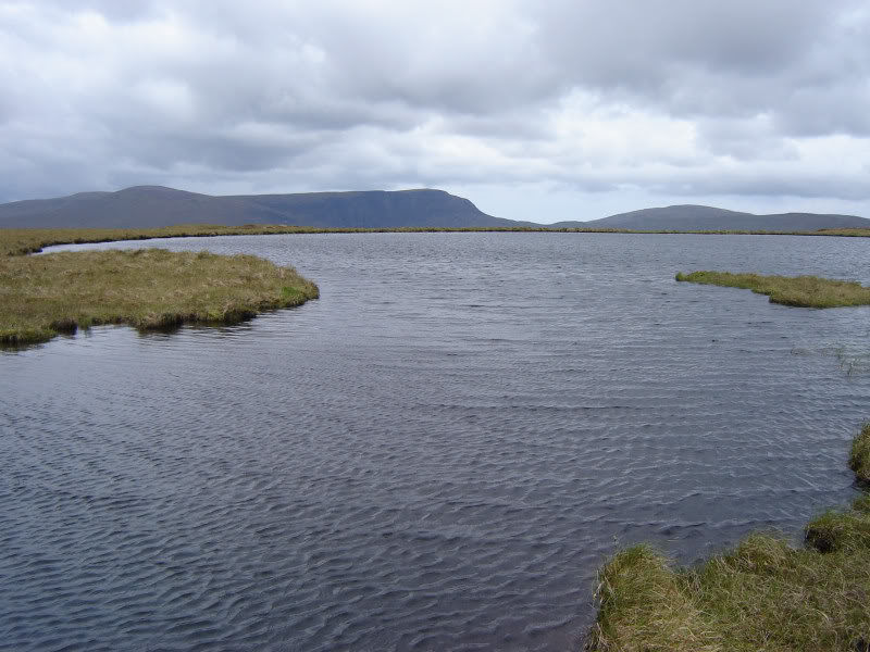
Lochan below summit of Ghlas-bheinn:
Fashven and Maovally:
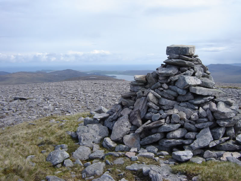
There are two cairns in the summit area. The lower cairn is a fine viewpoint over Kyle of Durness.
Summit of Ghlas-bheinn:
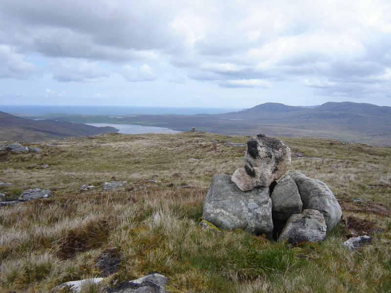
Kyle of Durness from Ghlas-bheinn:
This walk provided a taster of Cape Wrath. I am now looking forward to a Cape Wrath main course sometime in the future