Hill: Ben Scrien, Eriskay
Date: Monday 16th August 2010
Company: Just me
On Monday 16th August we drove from Lochmaddy to Eriskay, with the intention of undertaking a family ascent of Ben Scrien.
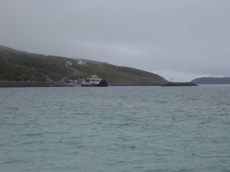
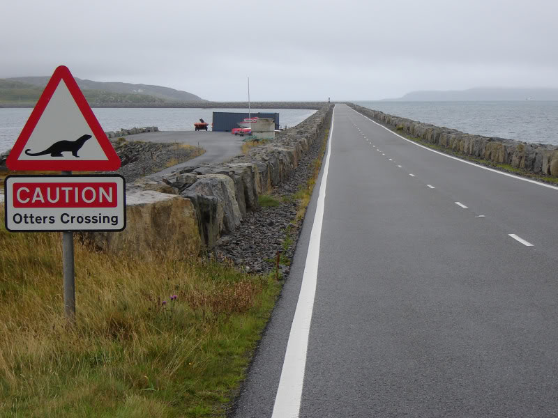
There are several impressive causeways in the Uists. The causeway from South Uist to Eriskay is no exception.
Causeway from South Uist to Eriskay:
The weather was dreich in Lochmaddy when we left and by the time we reached Eriskay it was still dreich
Click here to see a map of the route undertaken
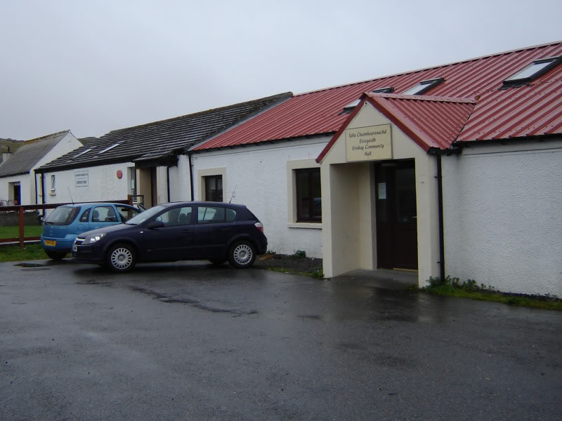
We parked outside the Eriskay Community Hall. Carole and Becky opted out of walking, even Beinn didn't like the look of the rain, so I headed off up the hill on my own
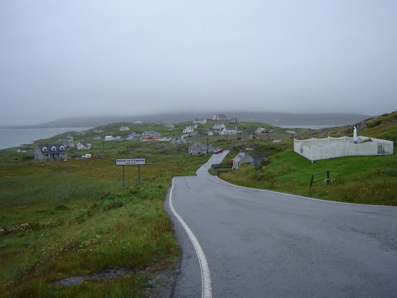
Eriskay Community Centre:
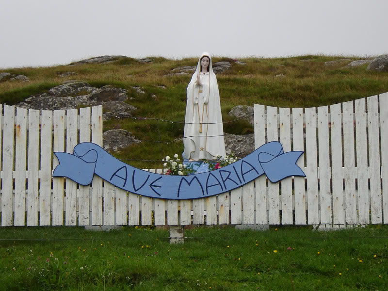
From the Community Centre I walked up Chapel Road as far as the highpoint on the road - it is possible to drive up to the high-point however there is no parking there.
Statue next to Chapel Road:
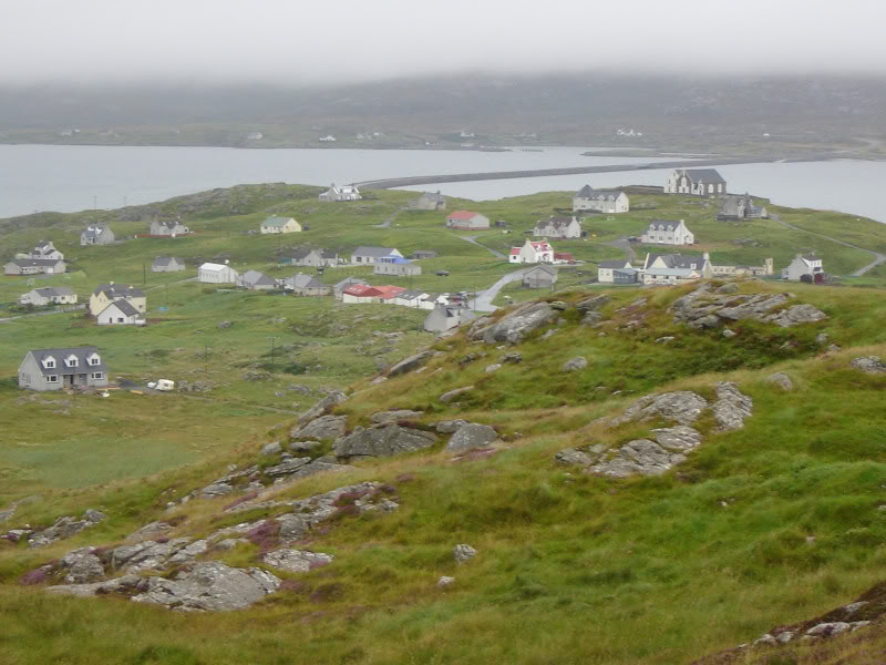
Looking back down Chapel Road towards village:
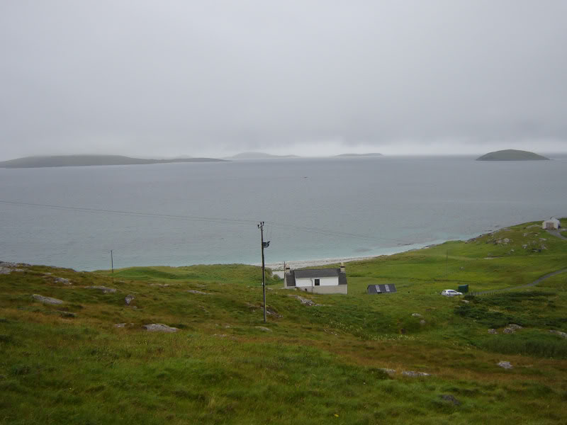
Limited views across to Barra:
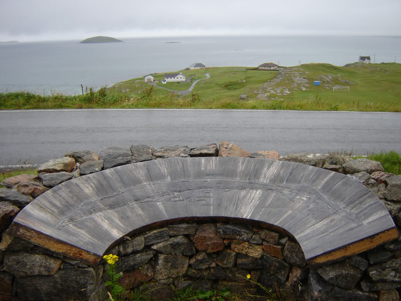
A short distance along the road from the statue is a carved wooden map highlighting the view you should get when the clag isn't right down.
Wooden map of nearby islands:
From the high-point of Chapel road, I took to the hillside via wet grassy slopes.
I'm sure this hill would provide spectacular views across to Barra and South Uist on a good day
I gained height quickly as I ascended into the clag.
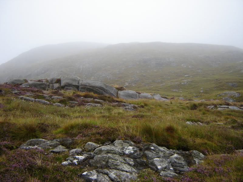
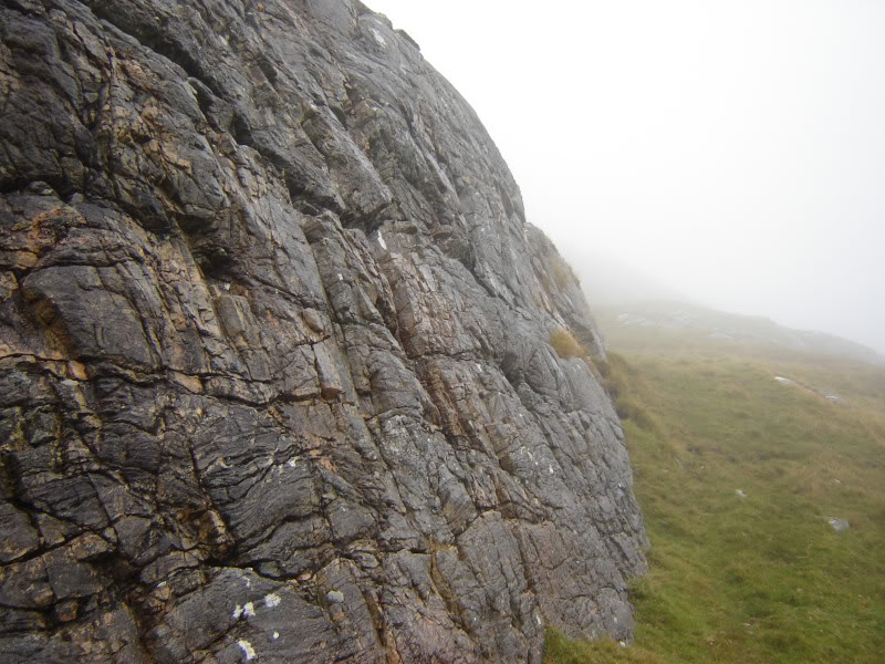
During the ascent there are numerous rocky outcrops that would allow for short scrambles/climbs.
Nice rocky outcrops:
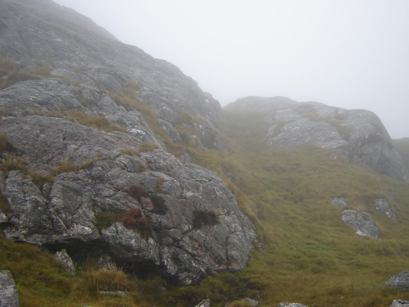
The final section of the hill is quite rocky. The rocks can however be avoided.
Rock outcrops, with easy grass by-pass:
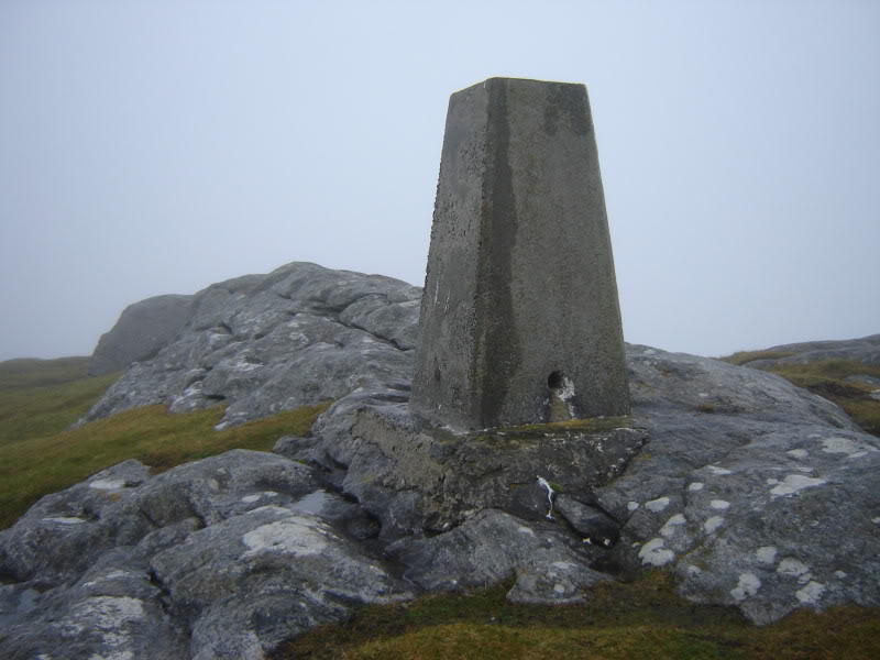
Summit trig point in sight:
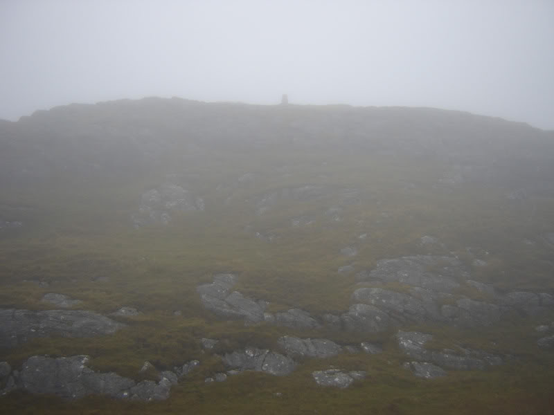
At the summit, I stopped to take a photo of the toposcope. Unfortunately I saw nothing from the summit.
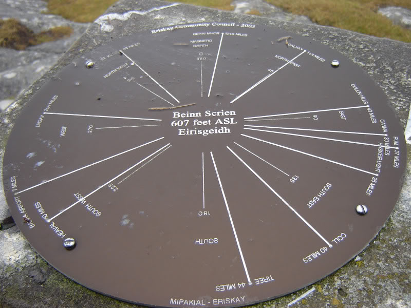
The actual summit is at the rocks just beyond the trig point.
Trig point and summit rocks:
I descended via the same route and on reaching Chapel Road the clag began to lift. Just my luck.
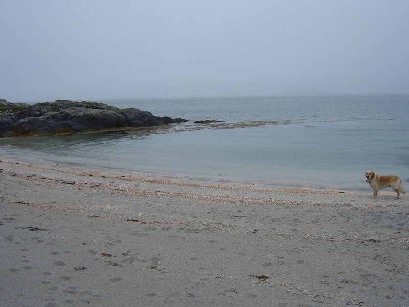
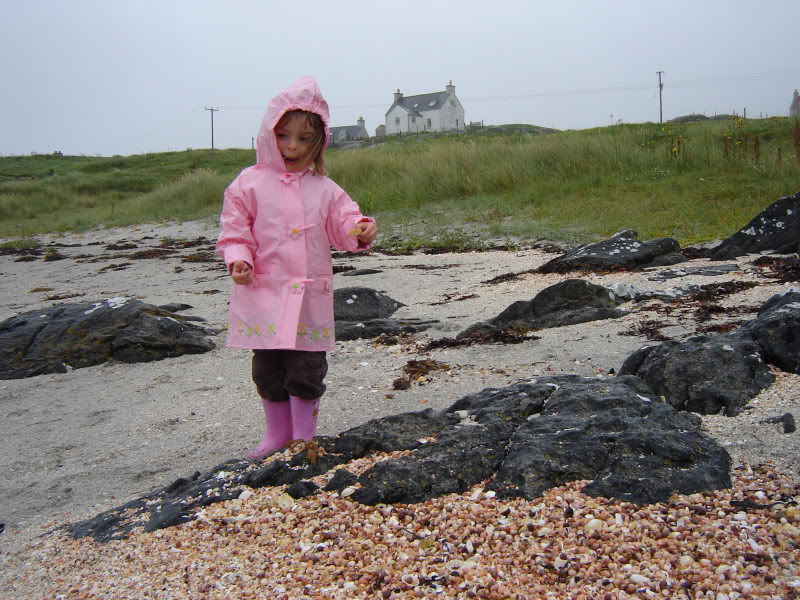
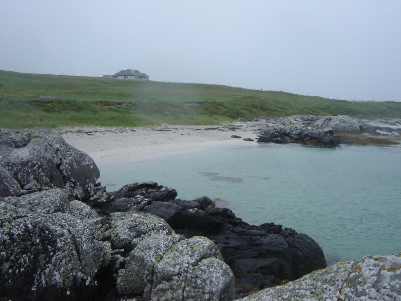
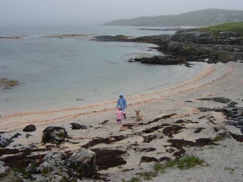
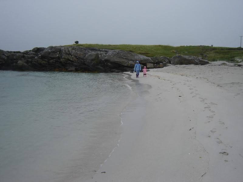
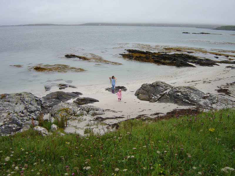
On returning to the car, I suggested that we walk to a beach that I had seen from the hill. This small beach turned out to be a series of small beaches followed by a longer beach. Despite the tide being in, and the fact it was raining, the visit to the beach was still worthwhile.
The beaches were covered in shells which pleased Becky
Beinn on the first of several small beaches:
Becky admiring the shells:
The next small beach:
Becky, Carole, Beinn and loads of shells:
Another beach:
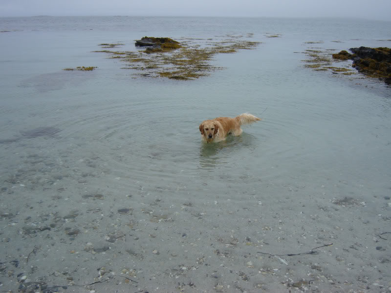
Beinn in the water as usual:
Looking towards clag-covered South Uist:
Ferry from Eriskay to Barra: