
Hill: Ben Bowie
Date: Wednesday 10th August 2011
Company: Just myself
Weather today, awful - very heavy rain and low cloud.
I set off to ascend an easy Sub2000ft Marilyn.
On reflection, I wish I hadn't bothered as all my gear ended-up soaked and I got
no views whatsoever.
Click here to see map of
the route undertaken
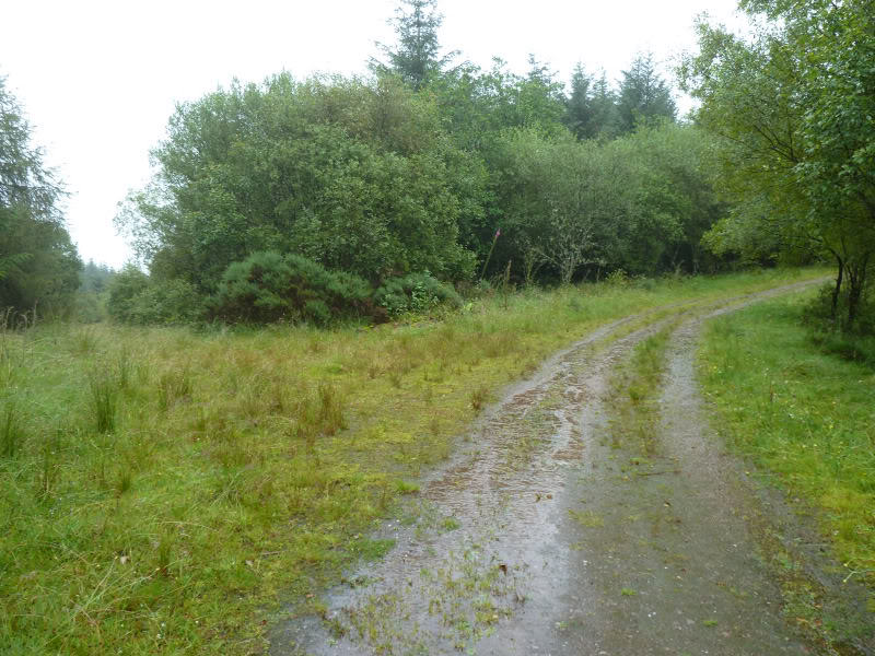
I parked at the start of the track to Bannachra Muir, beside this gate. There is room for a couple of cars here without blocking access.
Start of walk:
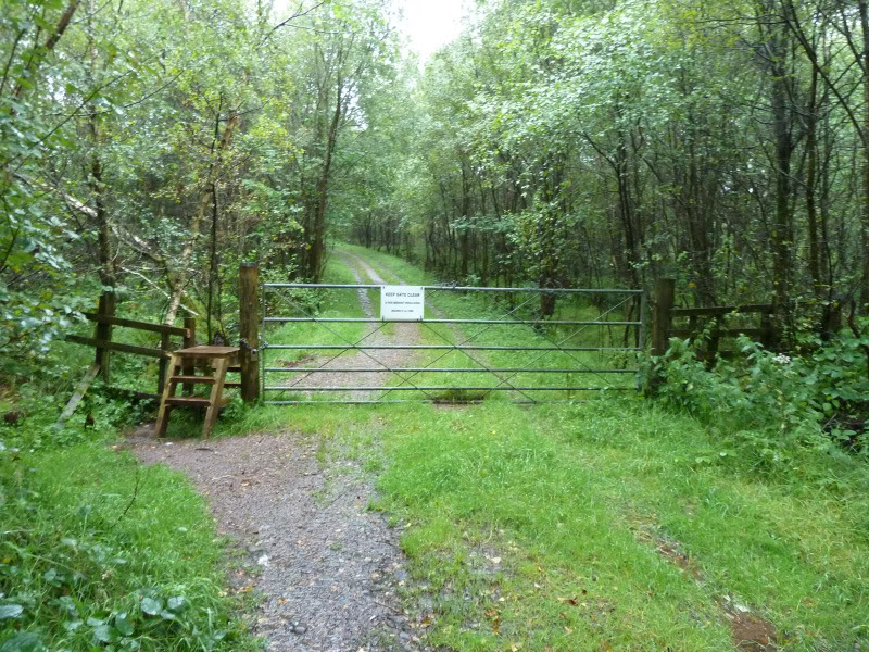
It was just a case of following the track for a couple of kilometres.
The photos don't really show how much it was chucking it down.
Bannachra Muir track:
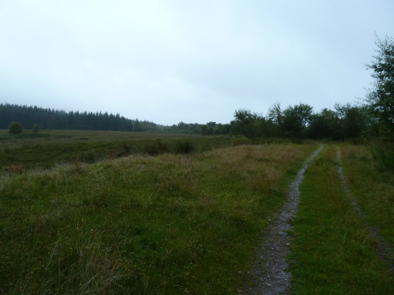
Bannachra Muir track:
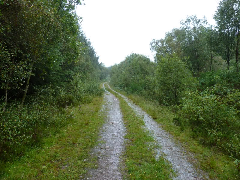
Bannachra Muir track:
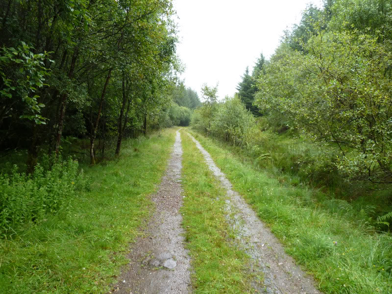
Track junction, keep to the main track:
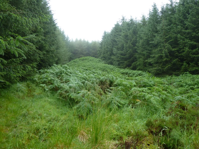
A short distance beyond the track junction, I arrived at the start of the wide firebreak that I had intended ascending. It was completely covered in high ferns (see final photo).
Instead I continued on for a hundred metres or so and then ascended another firebreak which had long grass but no ferns.
Ascent via the second firebreak:
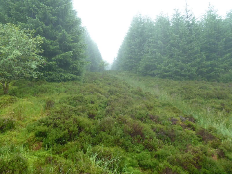
Ascending the second firebreak:
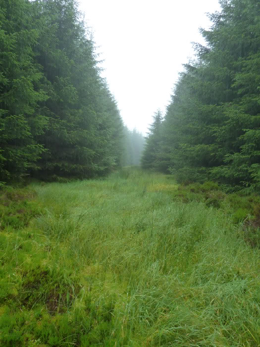
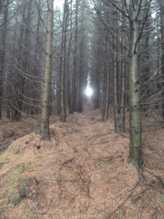
The ascent of this firebreak was easy enough and thankfully there was a narrow passageway
up through the trees in the final section.
Top of firebreak:
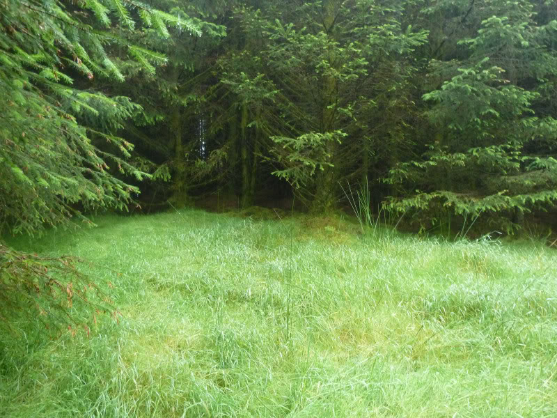
Heading up through the final section of trees:
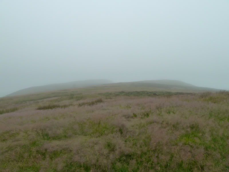
After clearing the trees, I had a wander about in the mist ascending each lump and bump.
Looking towards top of Ben Bowie:
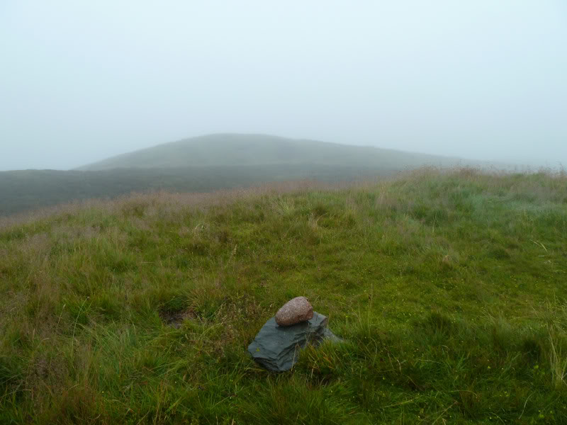
I'm pretty-sure the next one was the summit.
Summit of Ben Bowie:
From the summit, I followed a faint track which had numerous bootprints. Unfortunately, this led me down to the main fern-covered firebreak. I descended through the ferns.
An unpleasant descent.
This hill may be easier in the Winter.
Looking back at the awful fern-covered descent via the main firebreak:
On reaching the track, on brushing myself down I found lots of ticks on me; little ones not much bigger than the head of a pin.
I was keen to get back to the car to get my waterproofs off as I didn't like the
thought of more of these little buggers crawling about on me.
I had intended also ascending The Fruin, but decided to leave it for better
weather.