
Coastal Walk: Gardenstown to Pennan (via Troup Head)
Date: Sunday 13th April 2014
Company: Just myself
Distance: 20.5km, Ascent: 1005m
Time: 5Hrs 45Mins
Inspired by a Troup Head report on Walk Highlands, I decided today to walk a section of my local coastline from Gardenstown to Pennan, via Troup Head.
Instead of following this section of Aberdeenshire "coastal trail”, which is mostly walking along a road that is quite a way away from the coast, I opted to stick as close to the coast as possible. This route involved climbing over several gates, climbing over several barbed-wire fences and following a route along the edge of cliffs. Not really suitable for children and dogs.
Click here to see a map of the route undertaken
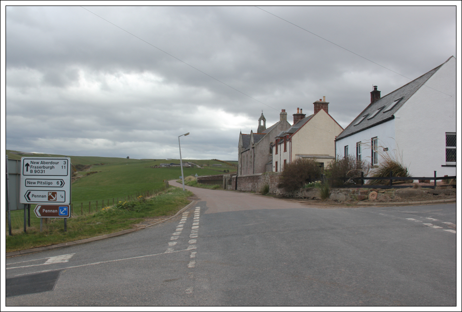
I parked in Gardenstown (which is known locally as Gamrie) in a small parking area beside the waste recycling bins. From the parking area I set off along the coast.
At the beginning of the coastal path between Gardenstown and Crovie, I saw a sign advising that the coastal path was closed. I ignored this sign as I was fairly sure I could bypass any obstacles.
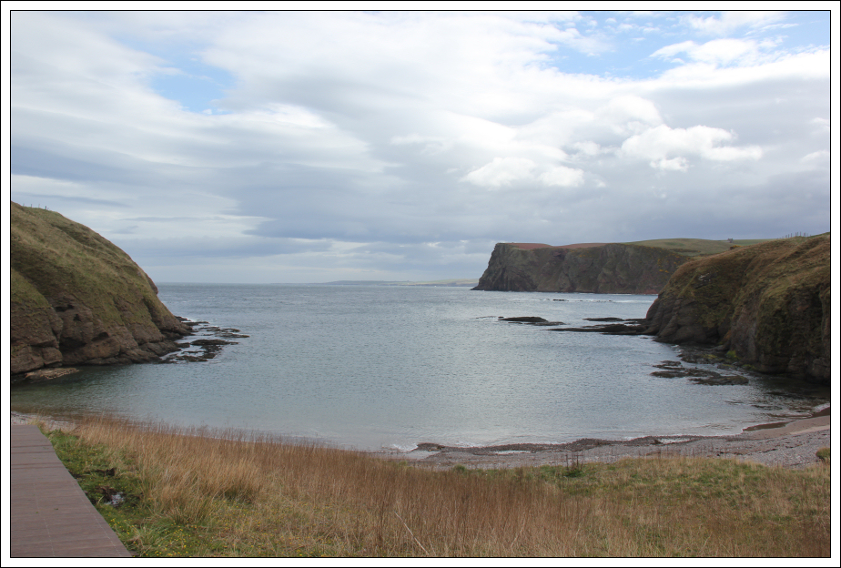
Coastal path from Gardenstown to Crovie:
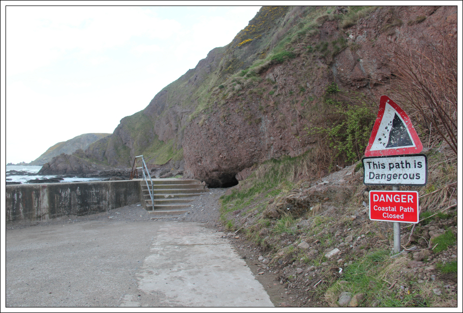
Coastal path from Gardenstown to Crovie:
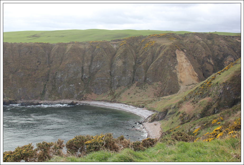
Looking towards Crovie from coastal path:
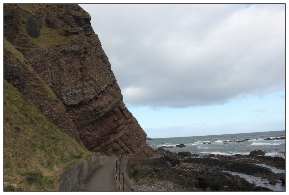
Looking back at conglomerate rock:
As I approached Crovie, I could see why the coastal path was closed. A section of the path is eroding into the sea.
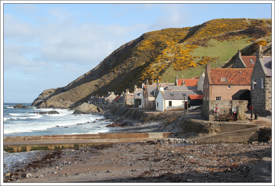
On reaching Crovie (pronounced Crivvy) I walked along the length of the small village. The row of houses is right next to the sea. These houses must get battered by waves in stormy weather.
Crovie:
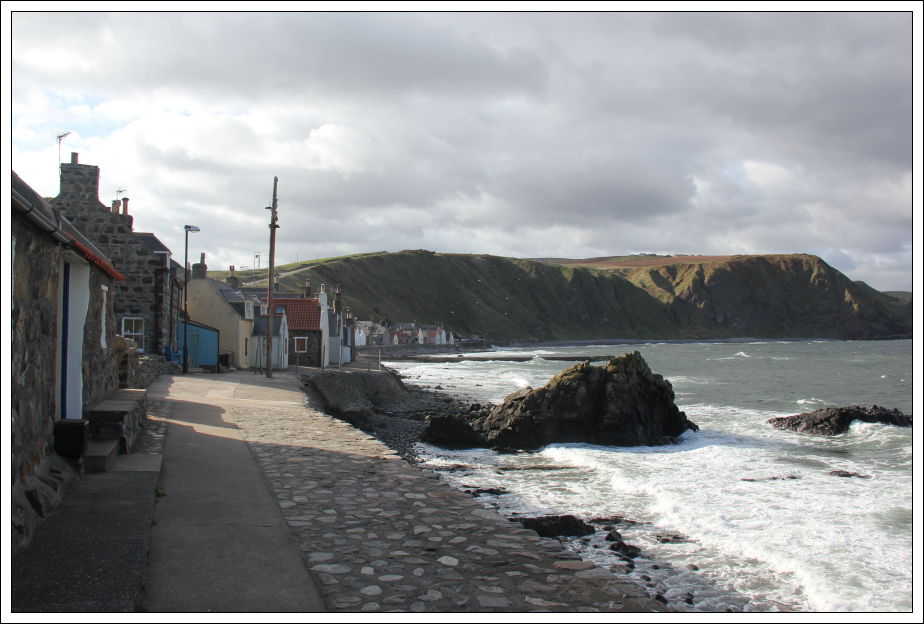
Looking back from Crovie:
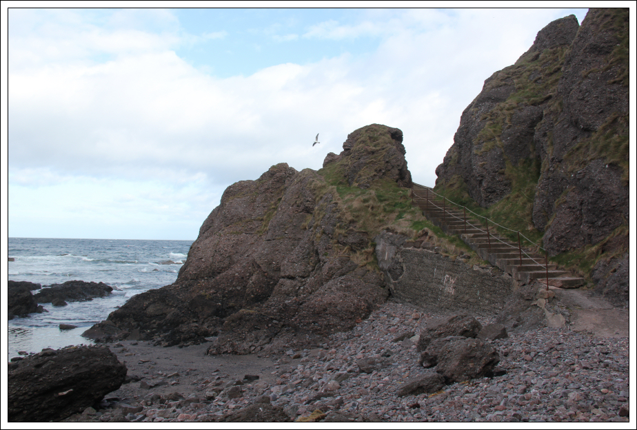
On reaching the final house in Crovie, I returned back along the village and then ascended a set of wide steps up a small hill to reach the road above.
Ascent from Crovie:
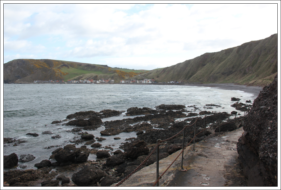
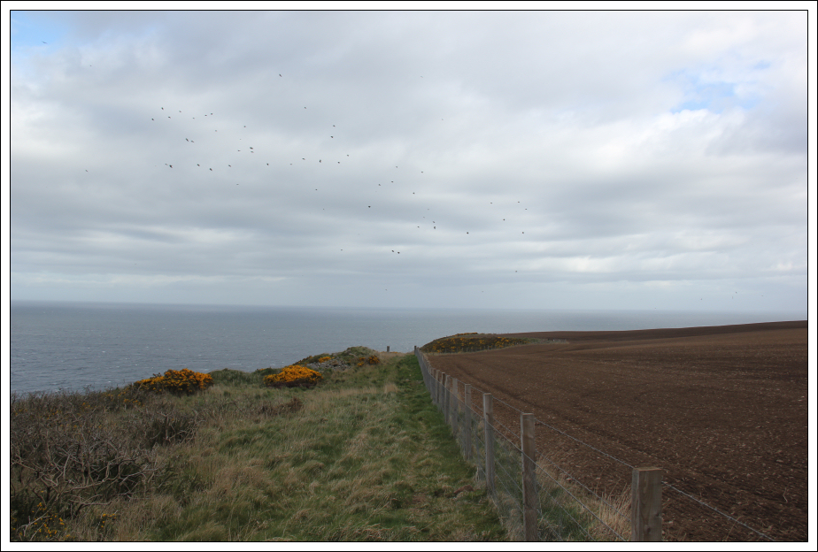
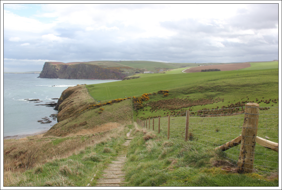
I followed the road for several hundred metres before passing through an open gate to then follow the cliff-top fenceline.
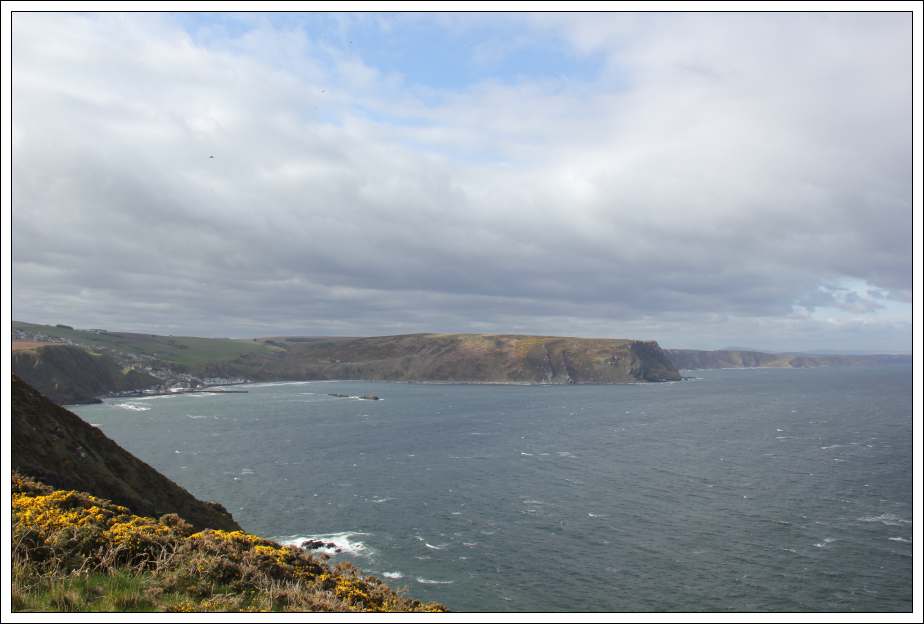
Looking back to Crovie and Gardenstown from cliff top:
I initially walked along the cliff-side of the fenceline. On reaching an open gate leading into the field I subsequently walked along the field side of the fenceline (definitely safer).
Following the fenceline along the cliff top:
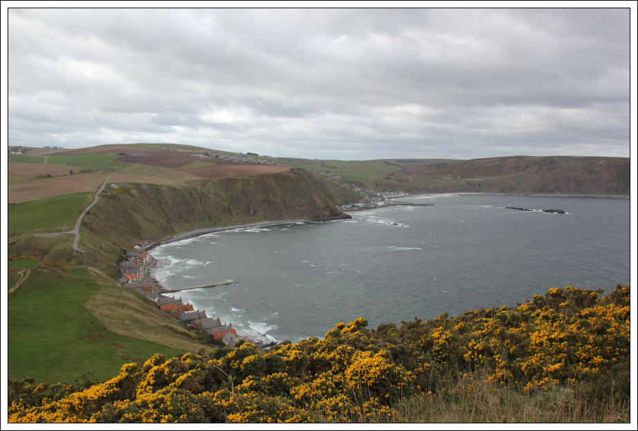
Looking back to Gardenstown, More Head and beyond:
If following the fenceline from Crovie to Troup Head there are several gates to climb over and only one barbed-wire fence.
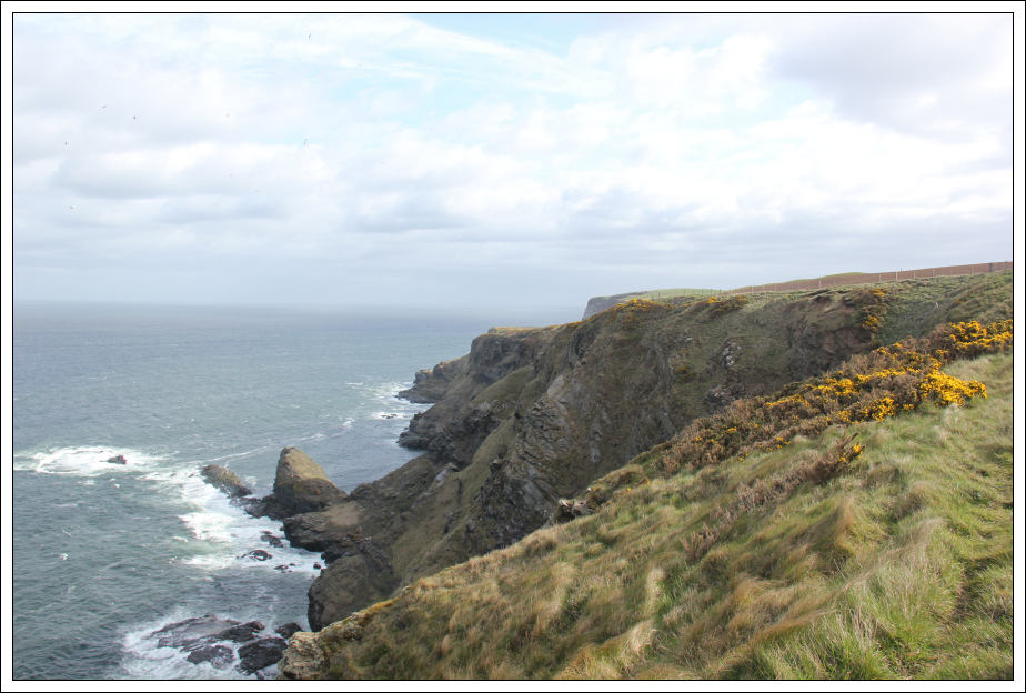
Looking towards Collie Head:
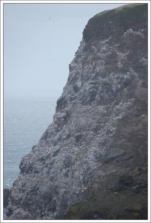
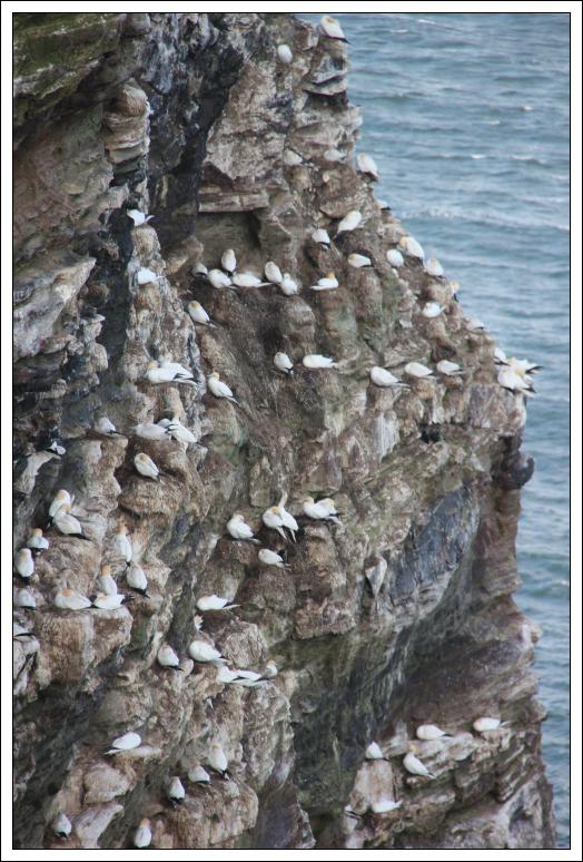
Troup Head was fairly obvious from quite a distance away owing to being covered by white gannets.
Looking towards Troup Head:
Troup Head (full zoom):
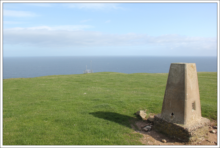
I stuck right to the edge of the cliffs all the way to Troup Head. I did however leave the cliff edge briefly to visit the trig point. From the trig point I returned to the cliff edge and then climbed over the barbed-wire fence to get onto the RSPB clifftop path. Troup Head is an RSPB reserve.
At the Troup Head trig point:
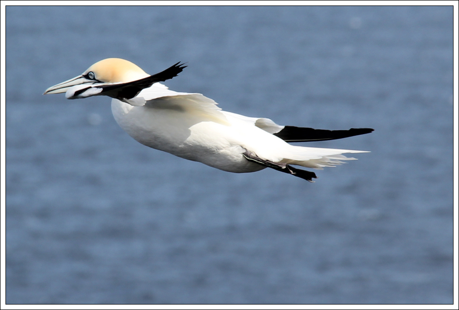
I spent five to ten minutes at Troup Head taking photos of gannets. It was however very windy up there today so I had to be careful while close to the cliff edge.
Gannet at Troup Head:
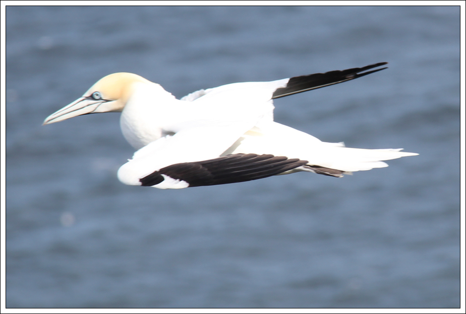
Gannet at Troup Head:
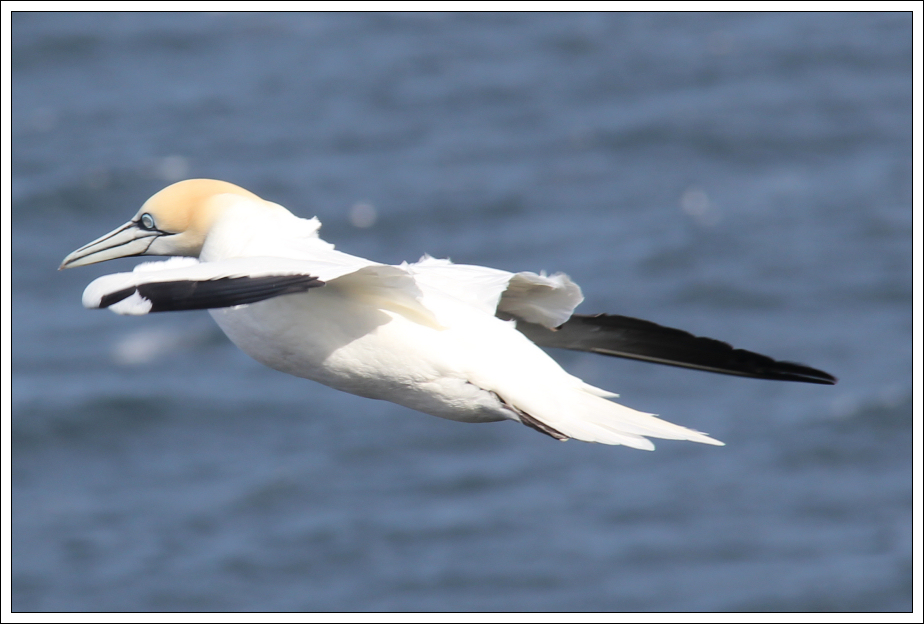
Gannet at Troup Head:
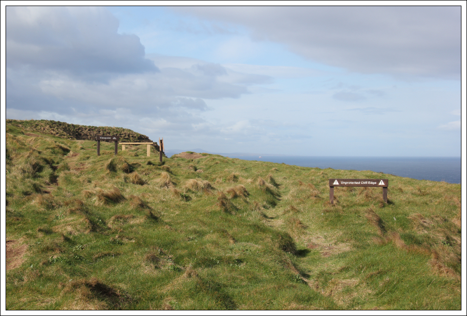
Close to the RSPB viewpoint there is a CCTV/webcam and also several abseil stakes above the cliff.
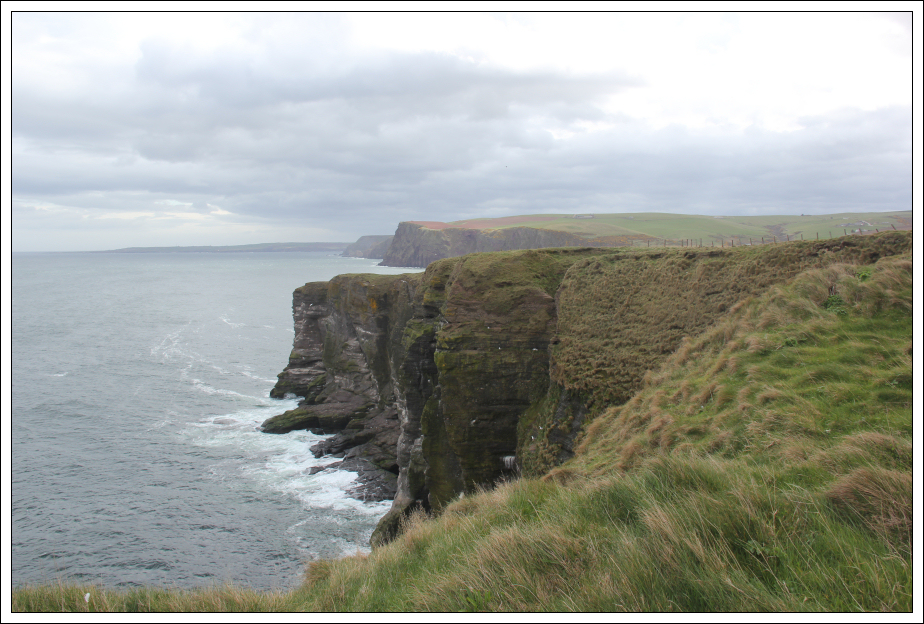
Troup Head viewpoint:
After gannet-spotting, I followed the RSPB path along the cliff edge and beyond again following the coastline as closely as possible.
Gannets on Troup Head cliffs:
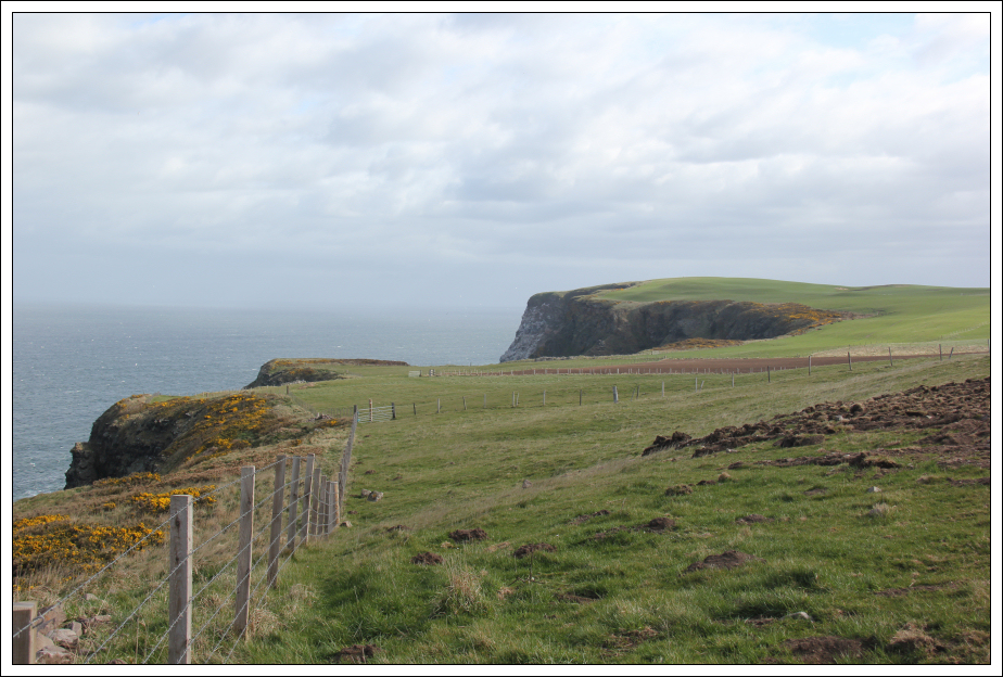
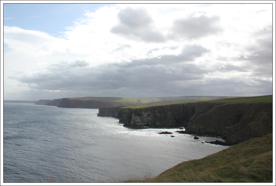
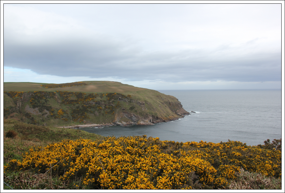
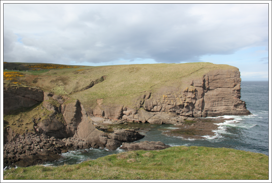
Looking along the coast towards Lion’s Head and Pennan Head:
On reaching Downie Bay, I had to divert back inland to avoid a deep gully. Looking across Downie Bay I could see evidence of a recent landslip.
Downie Bay:
Once around the gully, I returned to the coastline.
Looking back to Troup Head:
The walk towards Lion’s Head and beyond involved climbing over several barbed-wire fences.
Lion’s Head:
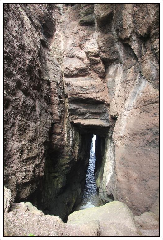
Beyond Lion’s Head, I decided to visit Hell’s Lum cave. This was definitely worth a visit.
Hell’s Lum:
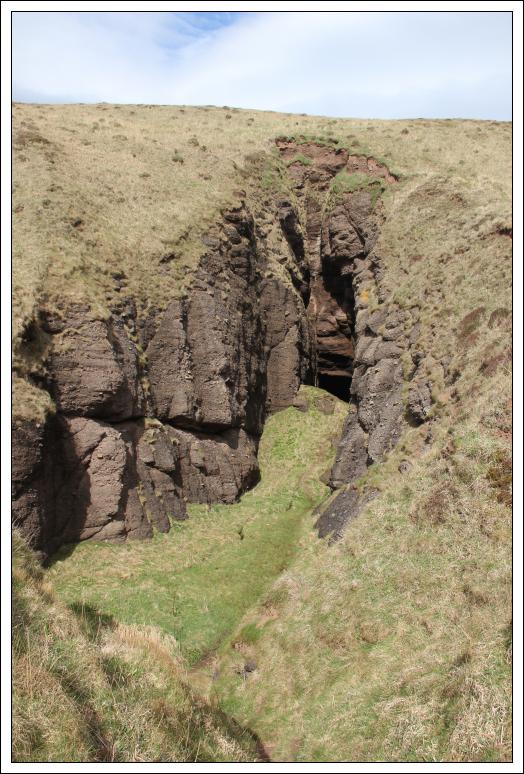
Hell’s Lum:
Looking back towards Lion’s Head:
Looking towards Pennan:
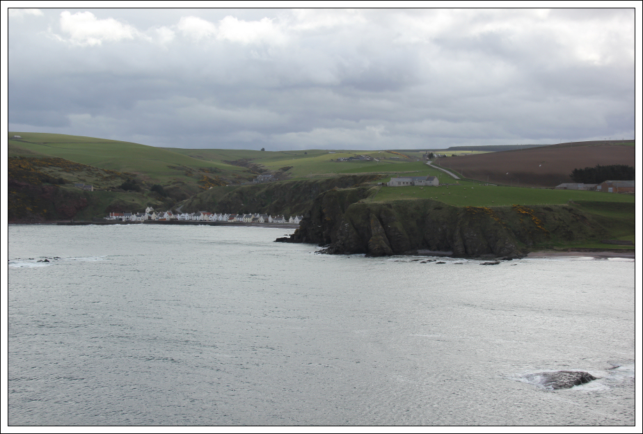
Pennan (zoom):
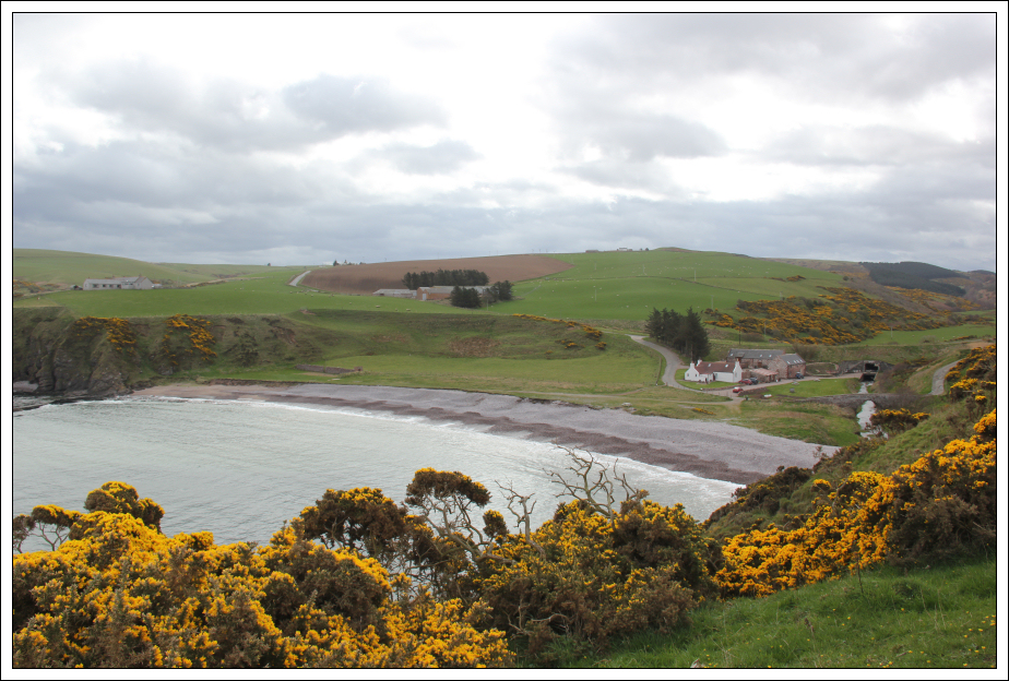
After crossing a nice burn, I followed a wooden path down to the coast.
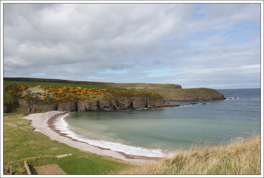
Cullykhan Bay:
Track beyond Cullykhan Bay:
After then ascending back to the cliff-edge, I again then descended back to the coast beside the house in the next photo.
Cullykhan Bay:
Looking back towards Cullykhan Bay:
For the final few hundred metres of coast before Pennan, I had to return to the road. I followed the road for the final ¼ mile down to Pennan.
Onto the road for the final descent to Pennan:
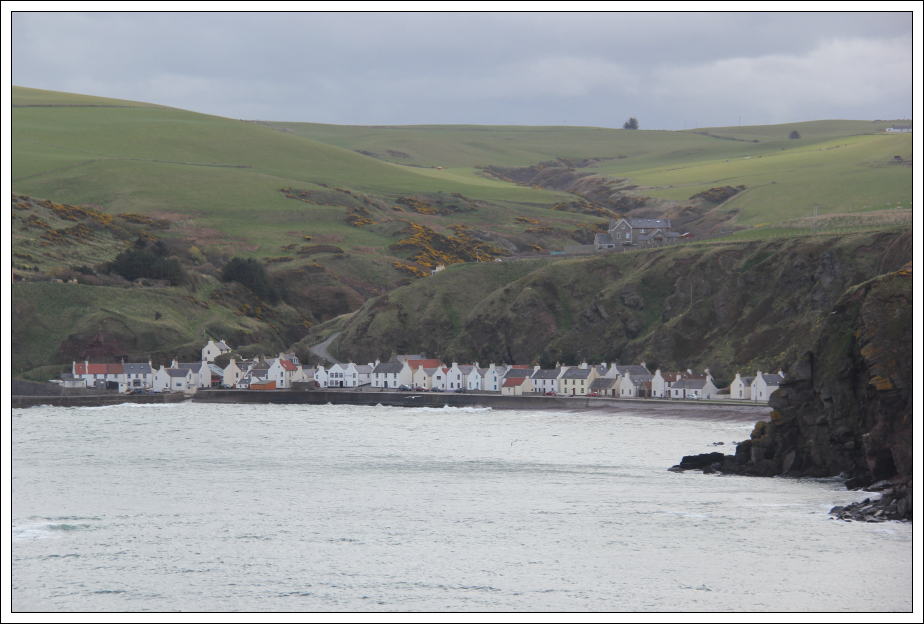
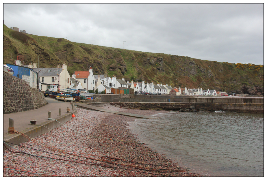
On reaching Pennan, I walked along the length of Pennan from end to end.
Pennan:
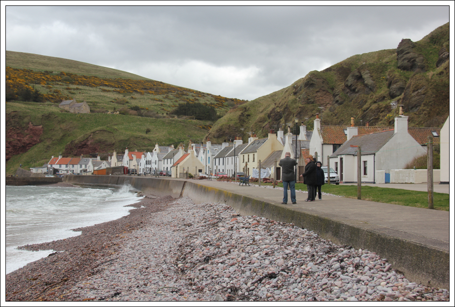
Pennan:
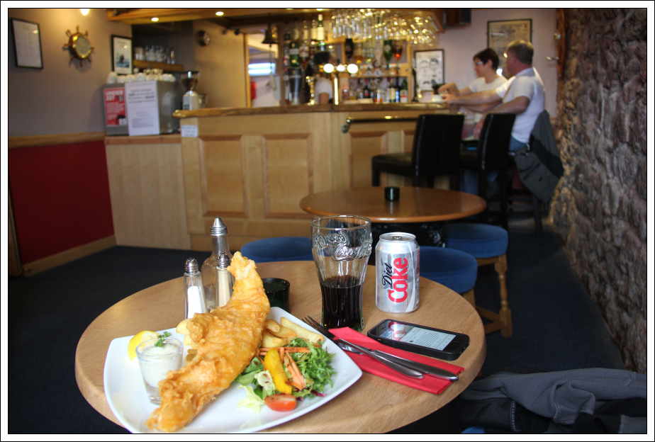
I then had a nice lunch in the Pennan Inn (Local Hero pub).
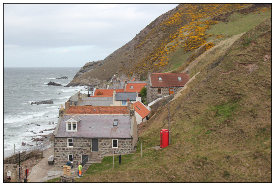
Pennan Inn & Red Phone Box:
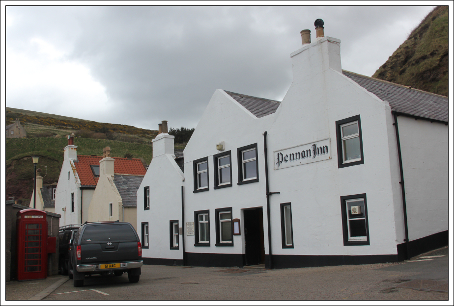
Lunch at the Pennan Inn:
On looking at my GPS whilst in the pub, I was surprised to find that I had already walked 13.5km. The walk back along the road from Pennan to Gardenstown was a further 7km. The difference shows how much extra walking is undertaken if following the coastline round all the little inlets. What was even more surprising was that by the time I got back to Gardenstown, I had ascended over 1000m. This wee coastal walk was as hard as many a hillwalk. An enjoyable day out.