
Hill: Arenig Fach
Date: Wednesday 23rd April 2014
Company: Just myself
Distance: 6.8km, Ascent: 430m
Time: 2Hrs 30Mins
After five consecutive dry days, most of today was spent walking in light rain. Having walked Arenig Fawr on Monday, I decided to return today to ascend its neighbour Arenig Fach.
Arenig Fawr is an outstanding hill, Arenig Fach is definitely not. Trail magazine lists Arenig Fach in the Top 100 UK hills but does not include its much nicer, higher neighbour in the list. I suppose that is to be expected from Trail = pish!
I parked on the B4391 right next to the cattle grid and set off making up the route as I went along.
Click here to see a map of the route undertaken
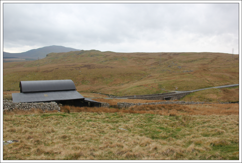
From the cattle grid, I followed a short track leading to a large black shed which I skirted round.
Start of walk towards Arenig Fach:

Looking back to large shed and B4391:
A short distance beyond the shed I had to climb over a wall. Climbing the wall could be avoided by starting a short distance further along the road.
Looking towards Arenig Fach from large boulder:

I decided to head for Mochowgryn before making my way across to Arenig Fach. It was nice to walk across short grass and moss instead of hard track.
Mochowgryn and Arenig Fach:

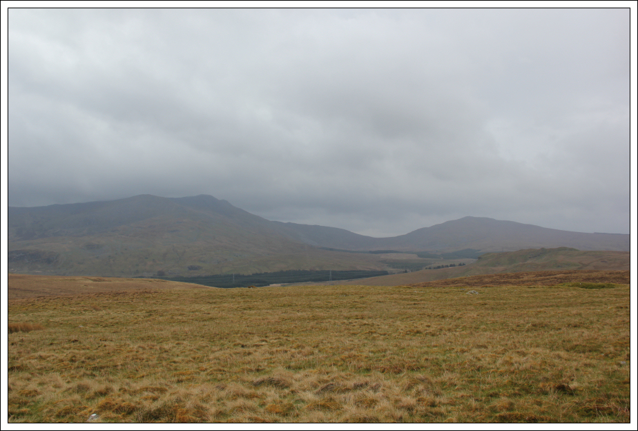
Looking across to Arenig Fawr and Moel Llyfnant:
The terrain as far as the top of Mochowgryn was fairly good.
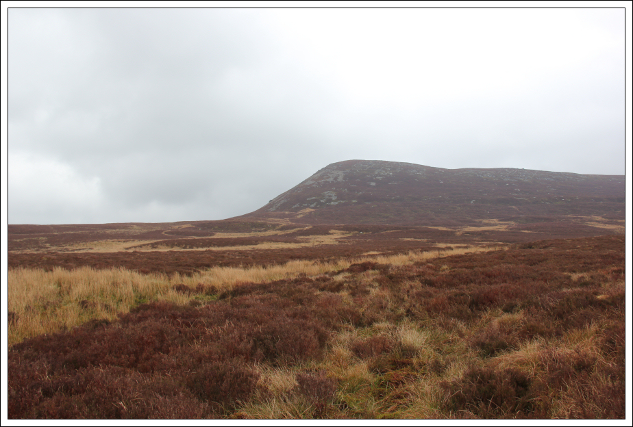
Arenig Fach from top of Mochowgryn:
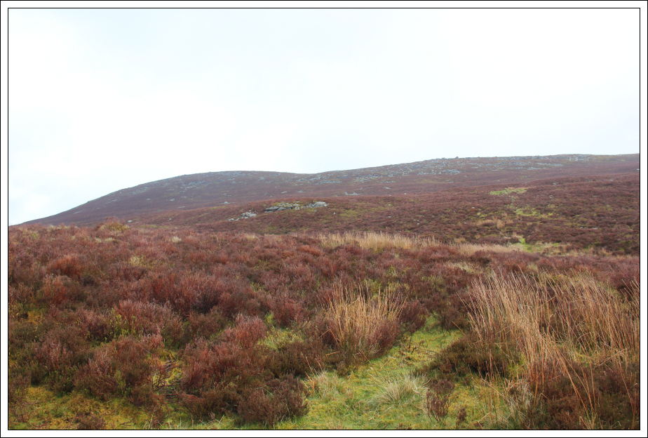
Beyond Mochowgryn the terrain was not so good. Long tussocky grass, high heather and wet moss. I followed a line of wet moss towards Arenig Fach to avoid the deeper heather.
Rough ground to Arenig Fach:
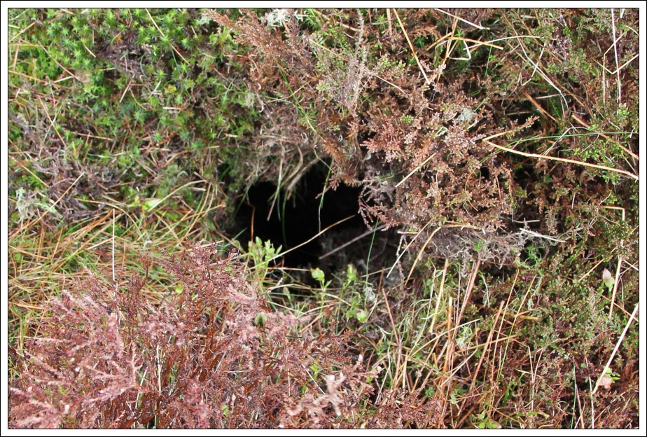
While walking across a section of heather I didn't notice a hole in the ground that was covered over. My whole leg went down the hole without reaching the bottom of the hole. I'm not sure how deep it was but it was definitely ouch! Could have been worse though, glad I didn't pull, tear or break anything.
Danger!:
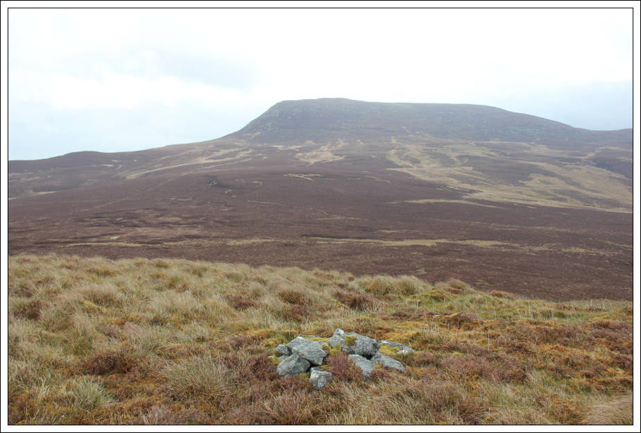
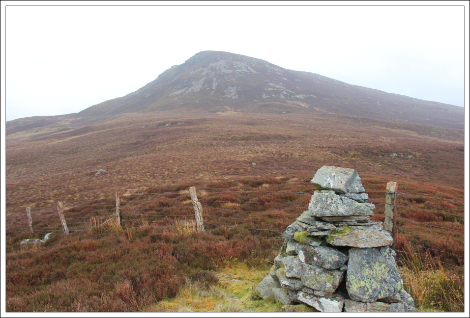
Before heading up Arenig Fach, I decided to head across to a large cairn hoping that I might pick up a path, but no such luck.
Looking across to Arenig Fach from cairn on boundary:
From the cairn I made my way across to Arenig Fach ascending the steep West ridge. This hill reminded me of many Scottish Hills - a mix of heather and blaeberry.
Looking back during ascent of Arenig Fach:
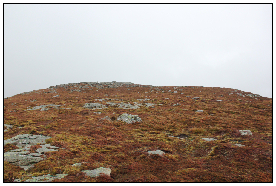
On reaching the flat summit area, I made my way across to the summit.
Looking towards the summit of Arenig Fach:
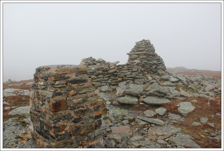
I visited the trig point, shelter and another small cairn a short distance away. Both cairns are of similar height.
Summit of Arenig Fach:
Looking back towards summit from another potential summit:

I decided to descend the hill taking a more direct route back to the starting point. While the descent was much less steep, the heather was twice as deep. It would have been easier to return the same way.
Looking back to Arenig Fach during descent:
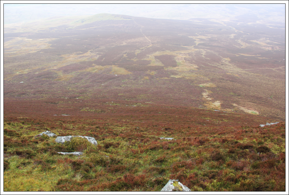
Once onto flatter terrain, I had to cross areas of deep heather and deep tussocks. Very unpleasant terrain.
The highlight of the whole walk was when a Red Kite flew right by. I fortunately had my camera in my hand at the time and so managed to snap a few pictures.
Red Kite:
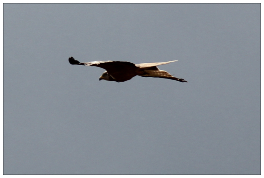
Red Kite:

Red Kite:

I was glad to get back to the car. This is possibly my least favourite Welsh hill to date.
I then drove approximately 3.5 miles to reach the starting point for another nearby Marilyn.
Hill: Mynydd Nodol
Date: Wednesday 23rd April 2014
Company: Just myself
Distance: 2.5km, Ascent: 205m
Time: 50Mins
Click here to see a map of the route undertaken
Not much to say about the ascent of Mynydd Nodol, just head up. There is a grassy track to follow alongside the fence.
Ascent of Mynydd Nodol:

Ascent of Mynydd Nodol:

Looking towards Arenig Fach:
Arenig Fawr in cloud:

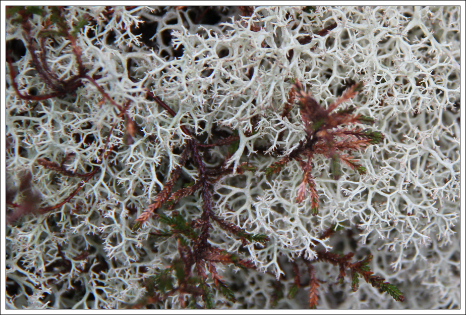
As per Arenig Fach this hill is covered in heather and blaeberry with patches of Reindeer lichen.
Reindeer Lichen:
Cairn en-route to summit:
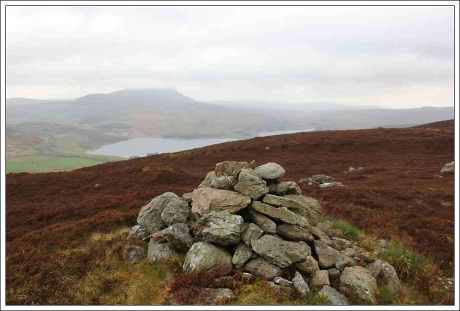
On reaching the large cairn at the top of the steep section, I then followed a small path leading to the summit.
Looking towards the summit of Mynydd Nodol:

At the summit of Mynydd Nodol:

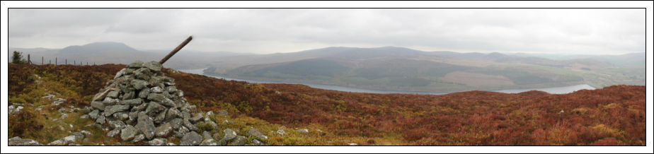
Panorama from summit of Mynydd Nodol:
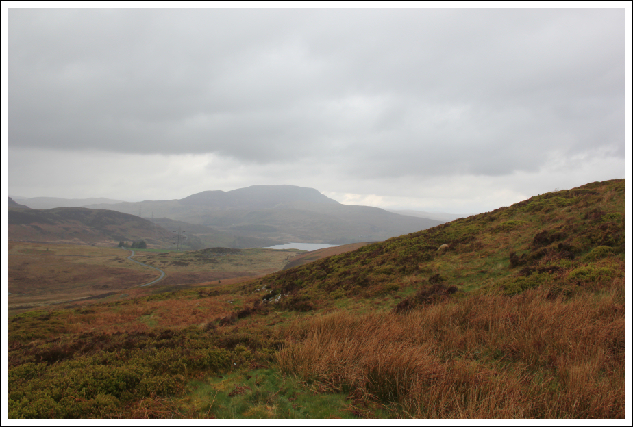
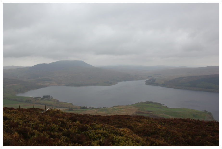
Looking down to Llyn Celyn from short distance beyond summit:
I returned to the start via the same route. Hopefully the sun will be back tomorrow