
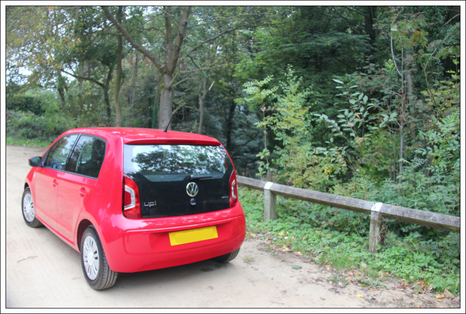
I travelled down to England last night on the Caledonian Sleeper in order to collect a new car this morning. My Land Rover will be getting used less frequently from now on as I have of late been putting far too many miles onto it. Having stayed awake all night to hear the election results, I was fairly tired today. Despite feeling tired, and not particularly happy with the result, I was determined to ascend several small hills.
My first hill of the day was "The Cloud". The Cloud is located East of Congleton. I parked in the Timbersbrook Picnic Area car park where there is room for at least one dozen cars.
Hill: The Cloud
Date: Friday 19th September 2014
Company: Just myself
Distance: 3.7km, Ascent: 330m
Time: 1Hr
Click here to see a map of the route undertaken
New car:
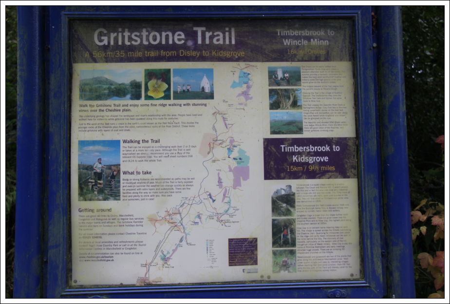
Gritstone Trail information sign:
From the car park, I walked along a couple of roads to reach a signpost marked "Gritstone Trail". In hindsight, instead of walking along the roads, I could have taken the Gritstone Trail track at the back of the car park.
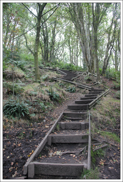
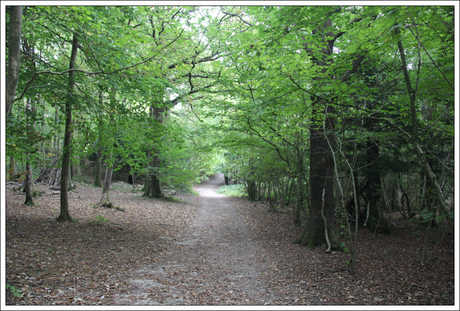
I followed this track steeply up the lower slopes of the Cloud.
Gritstone Trail track ascending The Cloud:
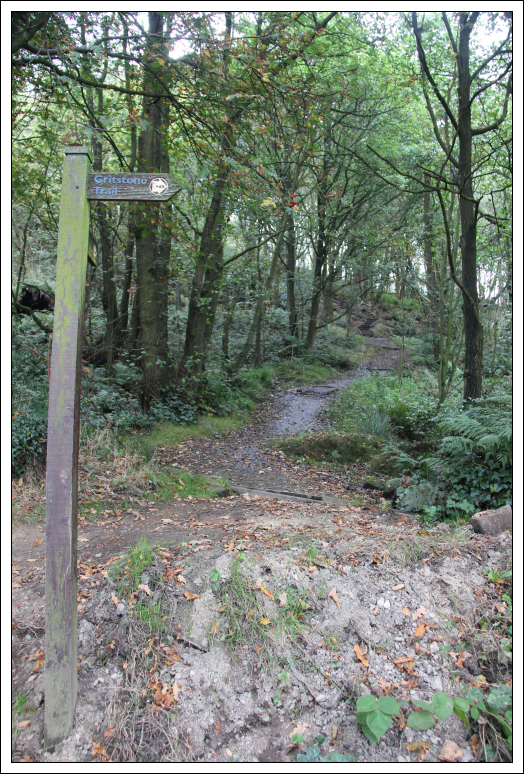
Gritstone Trail track ascending the Cloud:
During the initial ascent, I stopped to photograph some bracket fungus on a dead tree.
Bracket Fungus:

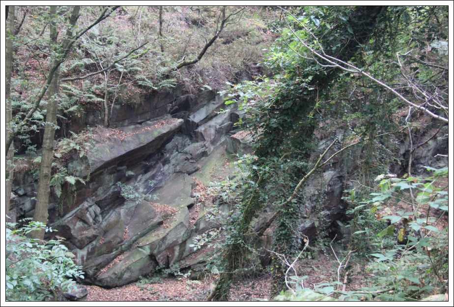
On passing a clearing, I noticed a small rocky area below.
Gritstone?:
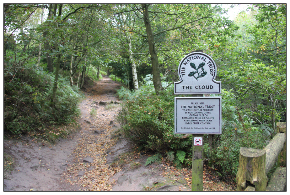
Beyond the rocky area, I arrived at a National Trust sign for the Cloud.
The Cloud:
On arriving at a track junction, I opted to take the wide track on the way to the summit and return via the narrower track.
Following the wide track into the woods:

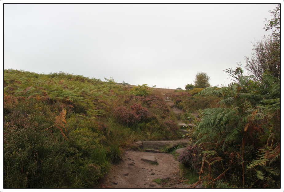
Clear of the woods, not far from the summit:
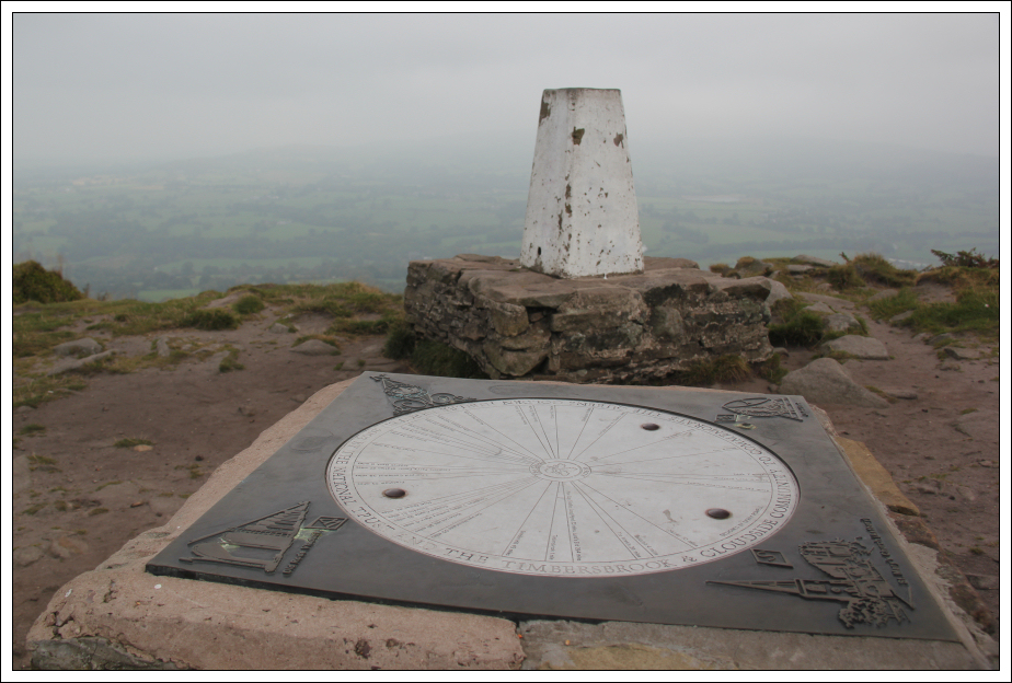
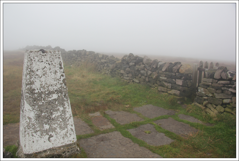
On reaching the summit area, I visited the trig point and had a look at the toposcope. Views were limited due to low cloud.
Summit area trig point and toposcope:
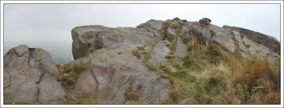
I then visited the gritstone rocks at the actual summit. This was my 950th Marilyn.
Summit rock:
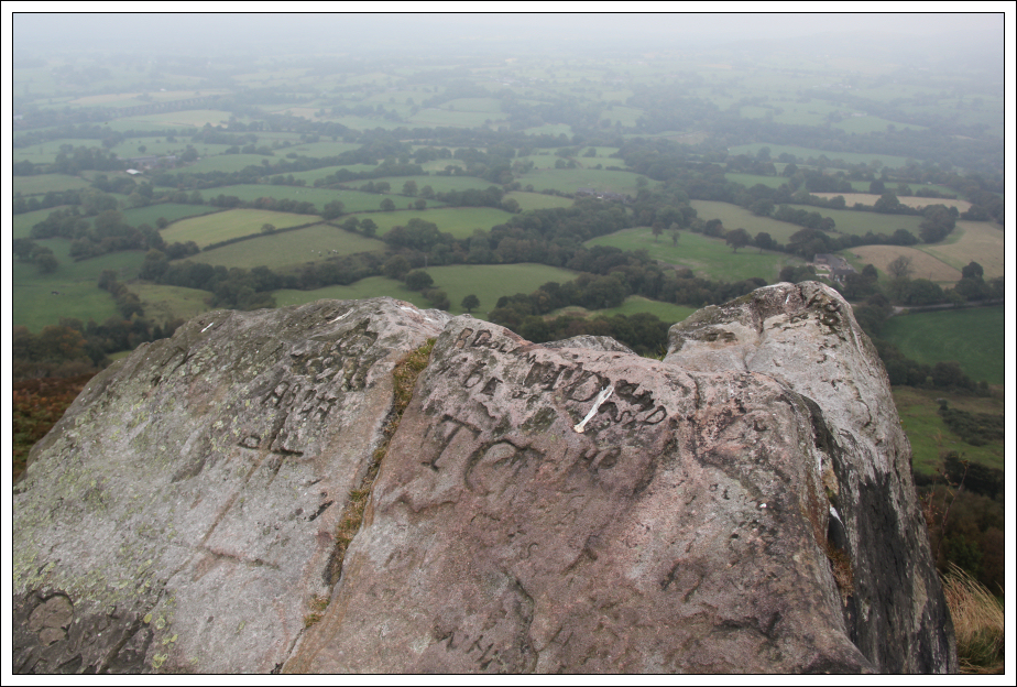
The rocks at the summit have lots of graffiti etched into them.
Summit rocks:
From the summit rocks, I returned via the narrow path to eventually reach my in-bound route.
View during descent:
On returning to the car, I drove to my second hill of the day. Gun is located North-East of Rudyard.
Hill: Gun
Date: Friday 19th September 2014
Company: Just myself
Distance: 1.3km, Ascent: 90m
Time: 20Mins
For my ascent of Gun, I parked at the top of the road to the South of Gun.
Click here to see a map of the route undertaken
The ascent of Gun took only ten minutes. I got no views during the walk and found this walk to be really dull in comparison to neighbouring The Cloud.
Start of ascent from road:
Path ascending Gun:

Approaching the summit trig point:

At the summit of Gun:

During the walk out, I met two other walkers who were also ascending via the same route. I incorrectly assumed they were Marilyn-baggers. It turns out they were Geo-cachers - an equally sad bunch
On getting back to the car, I made my way towards my third hill of the day.
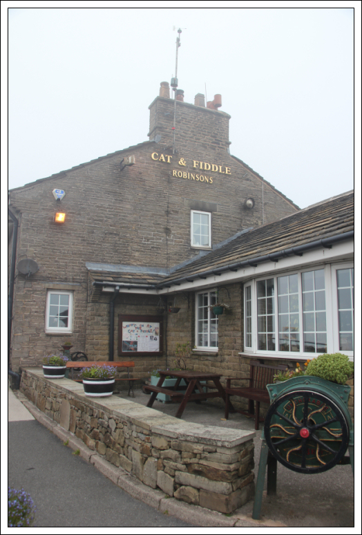
I opted to ascend Shining Tor from the Cat and Fiddle pub. This pub is apparently the second highest pub in England.
Hill: Shining Tor
Date: Friday 19th September 2014
Company: Just myself
Distance: 4.7km, Ascent: 215m
Time: 1Hr 15Mins
Click here to see a map of the route undertaken
From the pub car park, I walked along the road to reach a vehicle track heading towards Shining Tor.
Cat and Fiddle pub:
Of the two tracks leading towards Shining Tor, I opted to take the Stake Farm track during the ascent and the other track during the descent.
Track junction:
Before reaching Stake Farm, I followed the signs to bypass the farm. This led me through a field with a Shetland Pony and a horse.
Approaching Stake Farm:

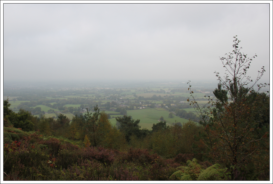
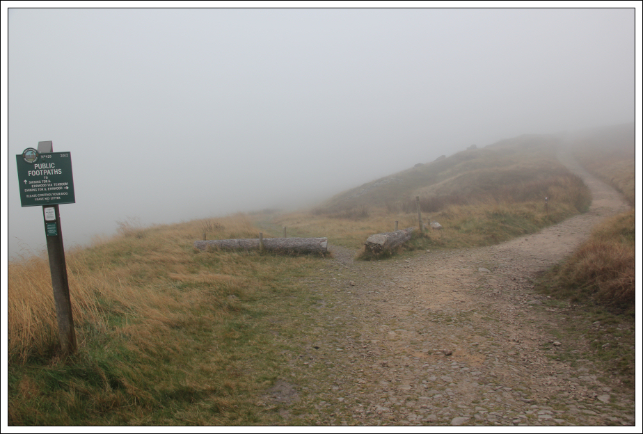
The visibility was non-existant during this walk. I can only assume it would be a good viewpoint on a nice day.
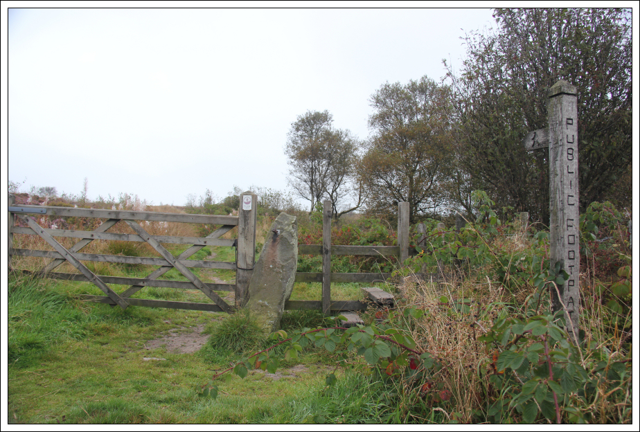
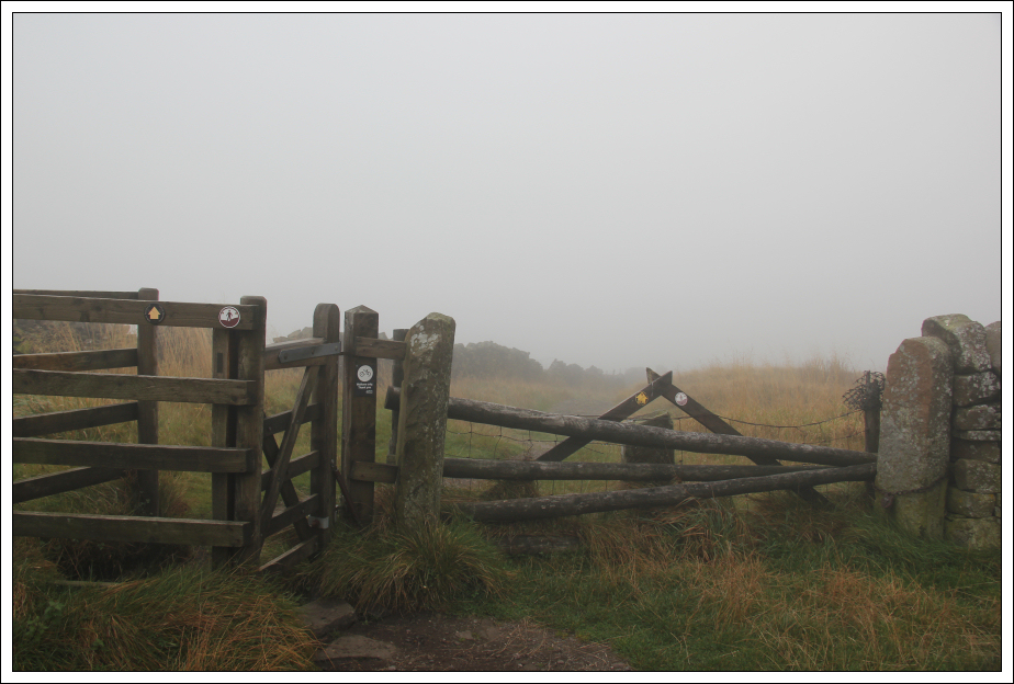
Signs and gate:

It would be difficult to get lost on this walk as the track is obvious and there are plenty signs and gates.
Signs and gate:
Track leading towards the summit:

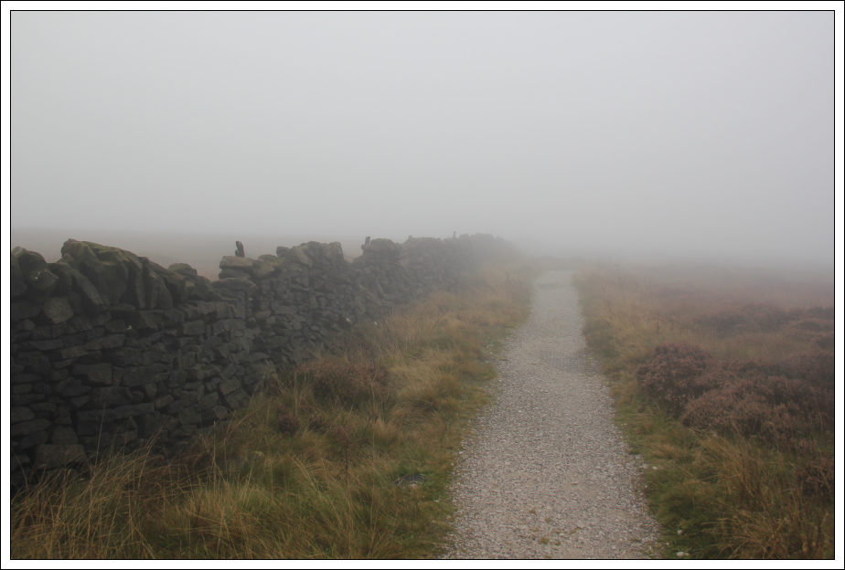
The final ascent follows a stone wall towards the summit.
Track leading towards the summit:
On reaching the summit area, I passed through the small gate to reach the trig point and then visited the small mound next to the trig point which is a tad higher.
Approaching the summit:

Trig point (6m from summit mound):
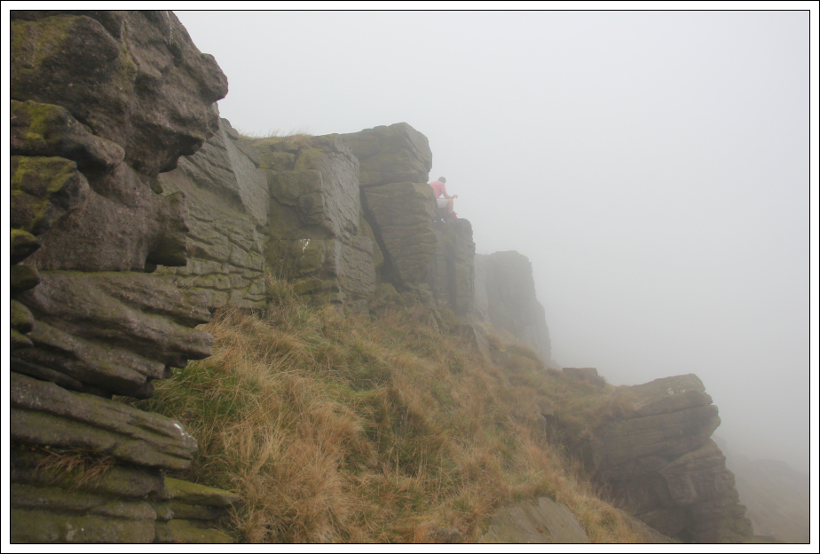
I ventured a short distance beyond the summit to have a look at a gritstone edge.
Gritstone:
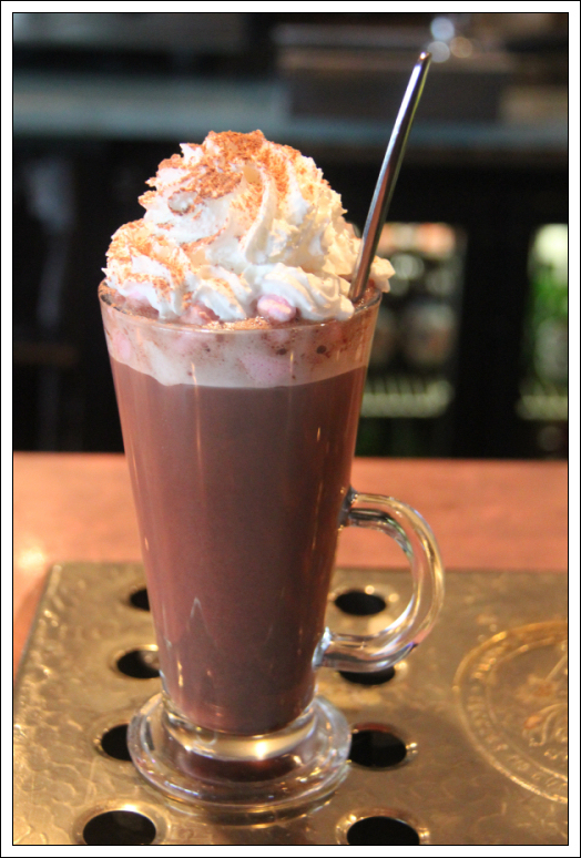
On getting back to the Cat and Fiddle, I had a delicious hot chocolate with marshmallows and cream. This was the highlight of the day thus far.
Hot chocolate from Cat and Fiddle pub:
After Shining Tor, I decided to escape the clag by leaving the Peak District and heading for the Lakes. My fourth and final hill of the day was Arnside Knott.
I parked in the National Trust Arnside Knott car park. This is a free car park (unusual for National Trust!)
Hill: Arnside Knott
Date: Friday 19th September 2014
Company: Just myself
Distance: 2.0km, Ascent: 80m
Time: 30Mins
Click here to see a map of the route undertaken
There would appear to be a variety of paths on this hill. I just followed paths that were heading up and generally in the right direction.
Arnside Knott information board:
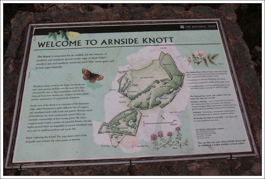
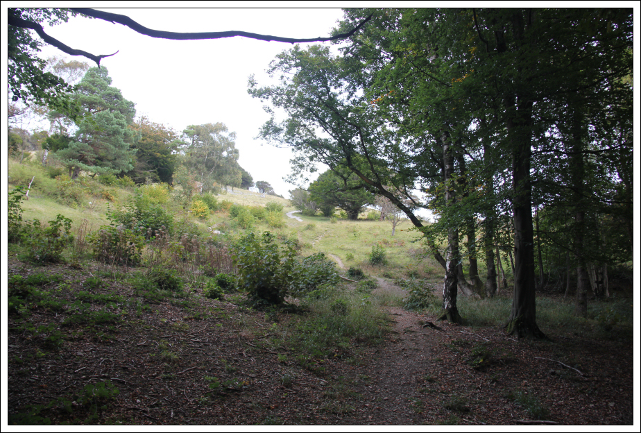
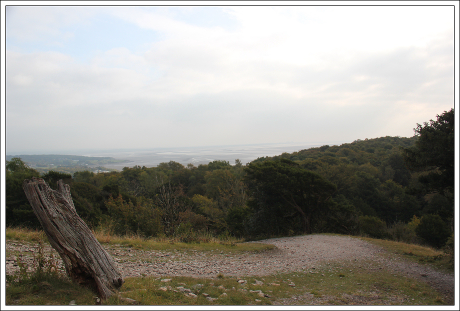
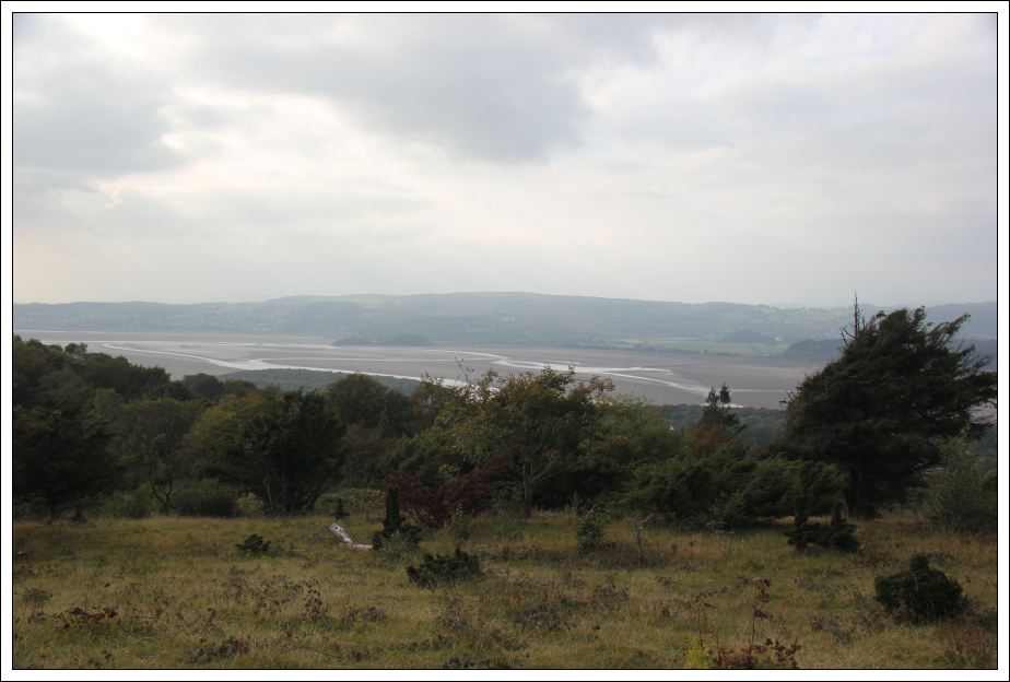
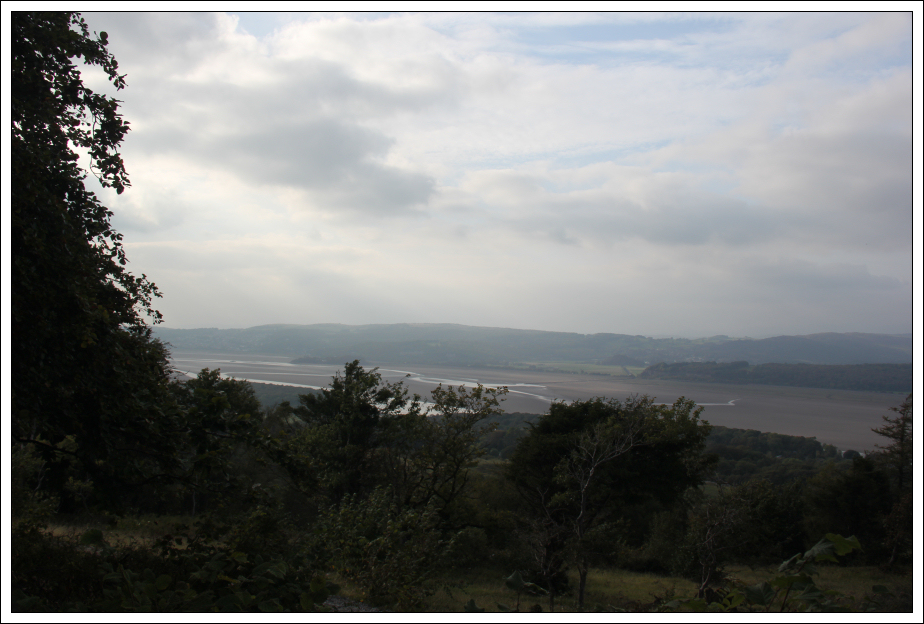
Arnside Knott is a wonderful hill. It is covered in a variety of nice trees and has lovely views down to Morecambe Bay.
Into the wood:
Ascent track:
View during ascent:
Looking towards the summit:
View during ascent:
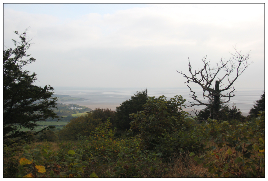
Looking down to Morecambe Bay:
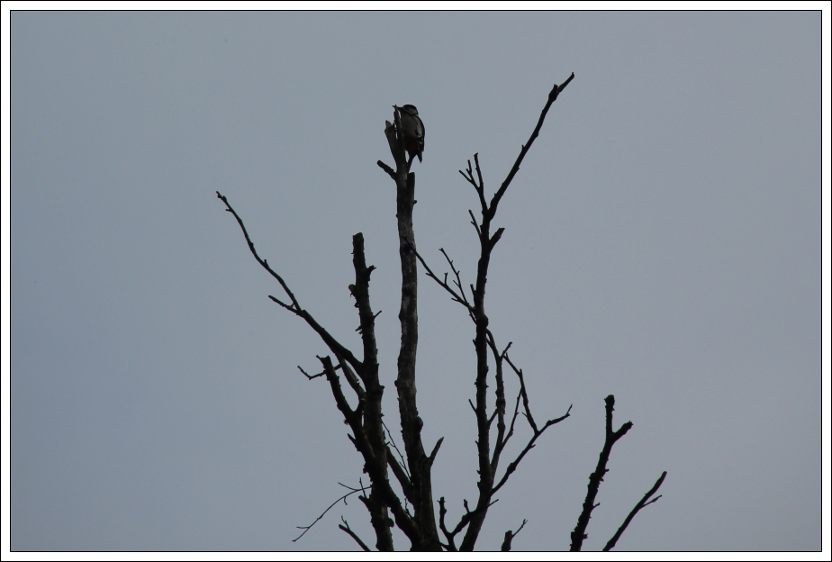
During the ascent, I heard an unusual bird call. On seeking out the bird, I found the unusual call to be that of a woodpecker.
Woodpecker:
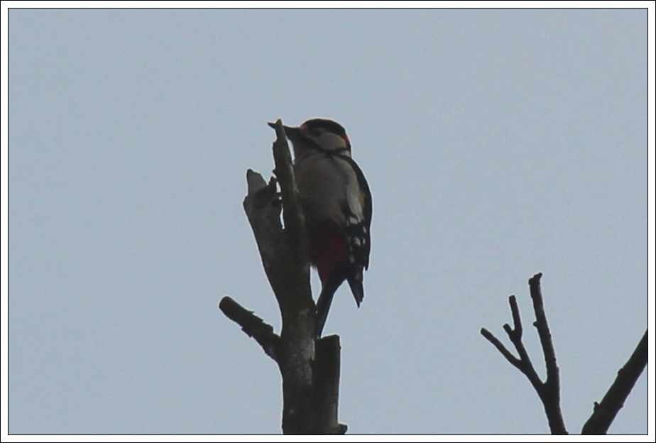
Woodpecker (zoom):
H-shaped tree:

View during ascent:
Bench:
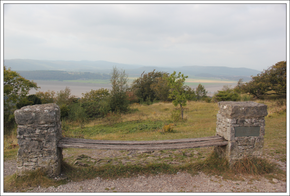
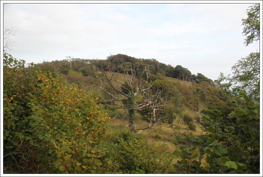
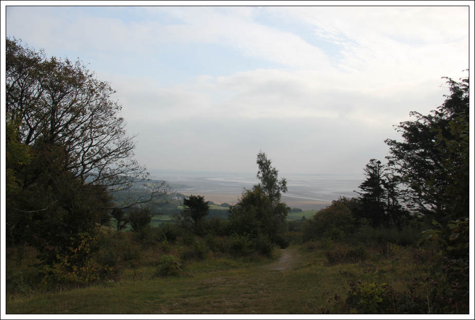
The views from the summit are fairly limited however there are lots of nice views during the ascent/descent.
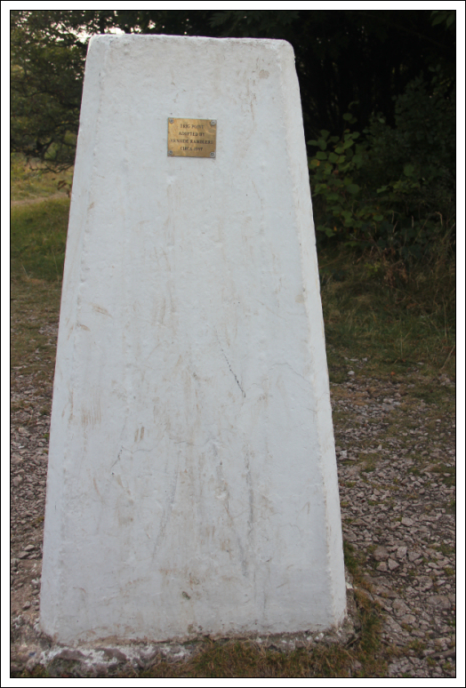
Summit trig poing with Arnside Ramblers plaque:
I returned to the car via the same route.
View during descent:
View during descent:

Four straightforward hills. The Cloud and Arnside Knott are definitely worth a visit.