
I decided to ascend Hutton Roof Crags today, a hill I have had on my wish-list for a number of years. Hutton Roof Crags is a Site of Special Scientific Interest (SSSI) thanks to its fantastic limestone pavements. A significant proportion of the UK's limestone pavement is to be found on Hutton Roof Crags and neighbouring Farleton Knott.
I wasn't sure where best to park for this one, so a quick check of previous ascents logged on the Hillbagging website suggested the Plain Quarry car park.
Hill: Hutton Roof Crags
Date: Saturday 2nd April 2016
Company: Myself and Becky
Distance: 3.6km, Ascent: 110m
Time: 1Hr 10Mins
Click here to see a map of the route undertaken
After taking a photo at Plain Quarry, we followed a path heading in the general direction of the hill. There are several paths which can potentially be taken from the car park.
Plain Quarry:

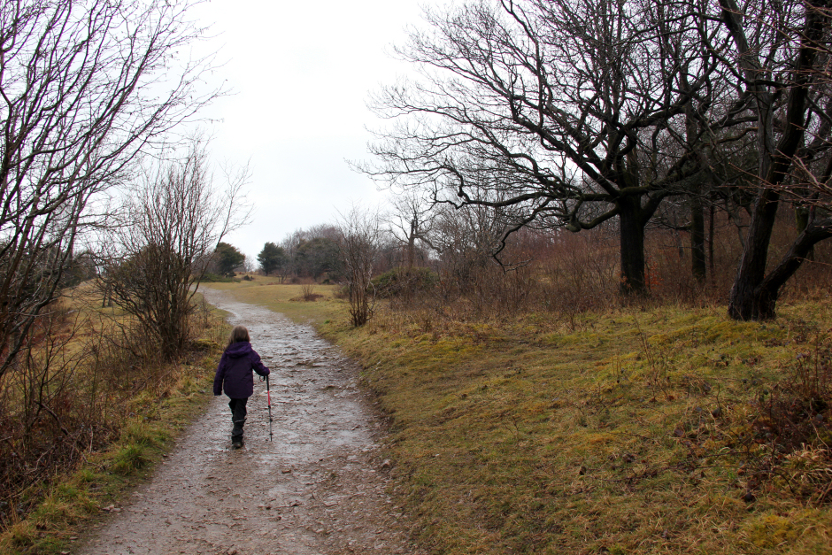
The ascent was fairly pleasant despite the rain and complete mudfest of a track. The track we took during the ascent unfortunately passed very few sections of limestone pavement.
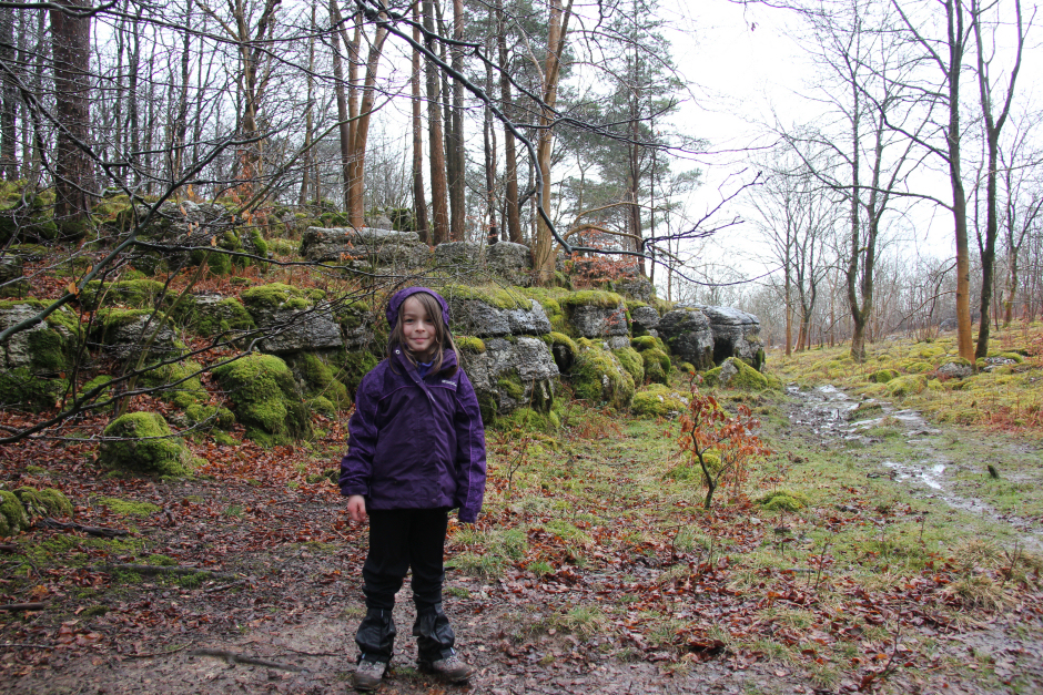
Becky and some nice limestone blocks:
We followed the track running parallel to a stone wall before passing through a small gate in the wall.
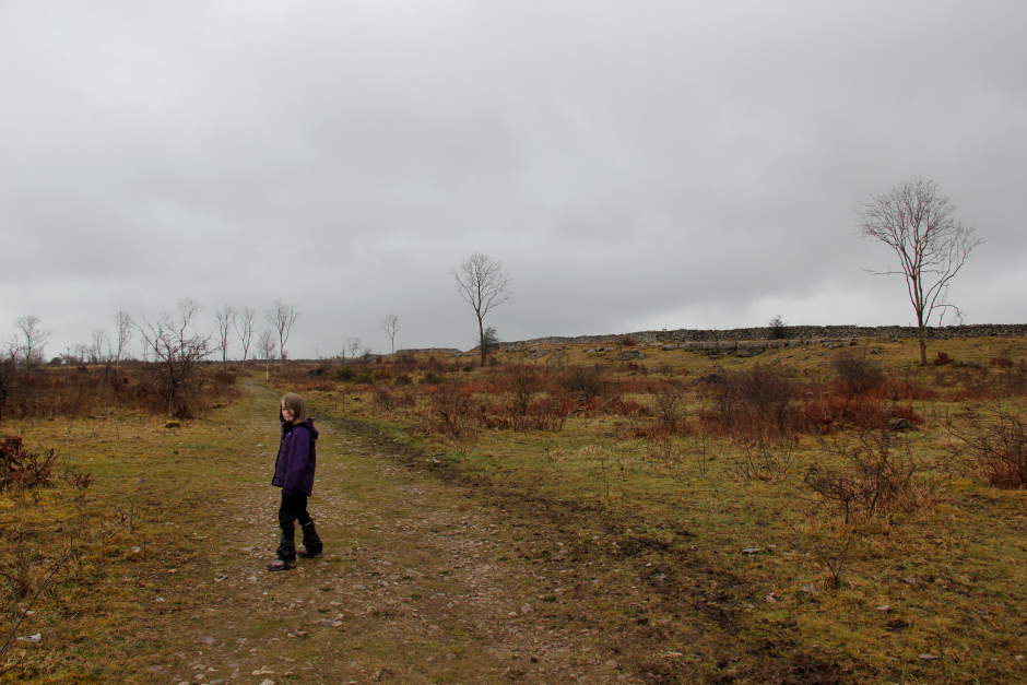
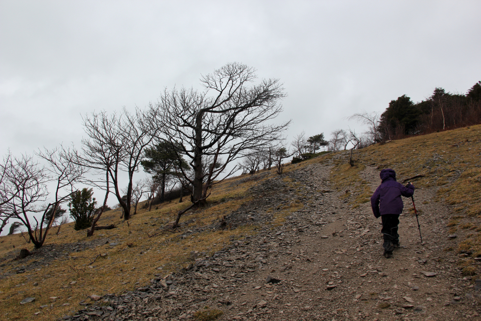
Ascent towards Hutton Roof Crags summit:
Beyond the gate, we reached the trig point within a matter of minutes. I was however aware that the trig point is not the summit. The featureless summit is 110m away from the trig point.
Becky at the Hutton Roof Crags trig point:

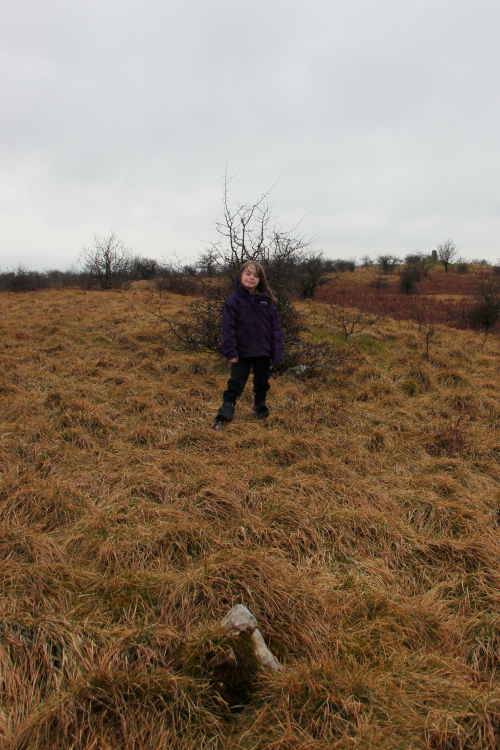
At the summit of Hutton Roof Crags:
After visiting the summit, and another potential high point not far away which definitely wasn't a high-point once standing on it, we returned back towards the trig point and then back to the gate in the wall.
In order to see more limestone pavement, we took a different track back down the hill. This return track was far, far superior to our ascent track as it passed lots of limestone pavement.
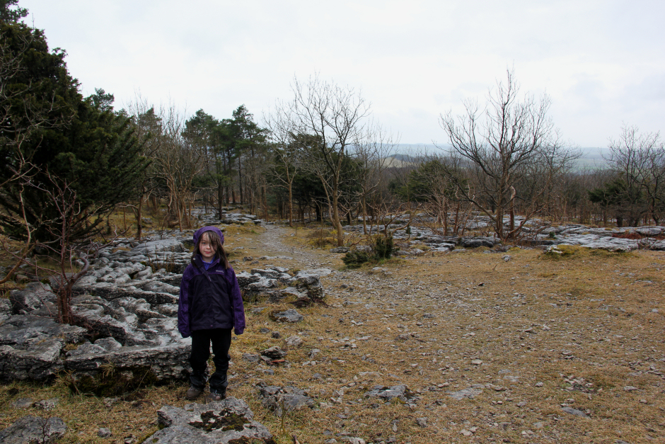
Lots of nice limestone pavement:
On reaching the car, we agreed to ascend another nearby easy Marilyn. We opted for Arnside Knott, a 159m Marilyn above Morecambe Bay. I had ascended this Marilyn previously, in 2014, however it would be a new hill for Becky.
For our ascent of Arnside Knott, we parked in the car park at the road-end.
Hill: Arnside Knott
Date: Saturday 2nd April 2016
Company: Myself and Becky
Distance: 1.8km, Ascent: 72m
Time: 35Mins
Click here to see a map of the route undertaken
The ascent of Arnside Knott from the car park involved minimal effort. We followed a short steep track leading towards a viewpoint.
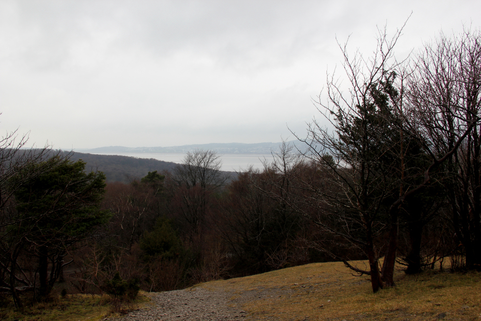
Looking towards Morecambe Bay during initial ascent of Arnside Knott:
Becky ascending Arnside Knott:
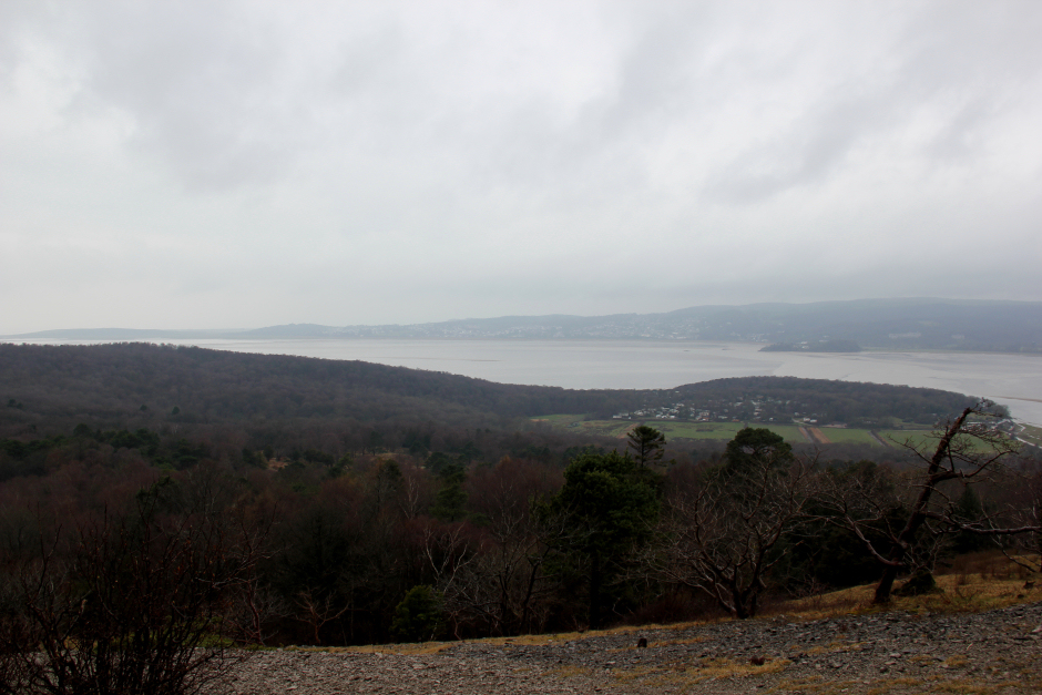
Morecambe Bay:
At the Arnside Knott viewpoint:
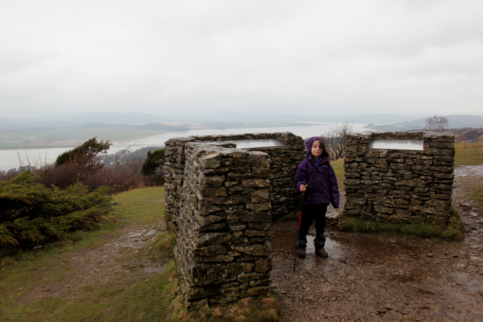
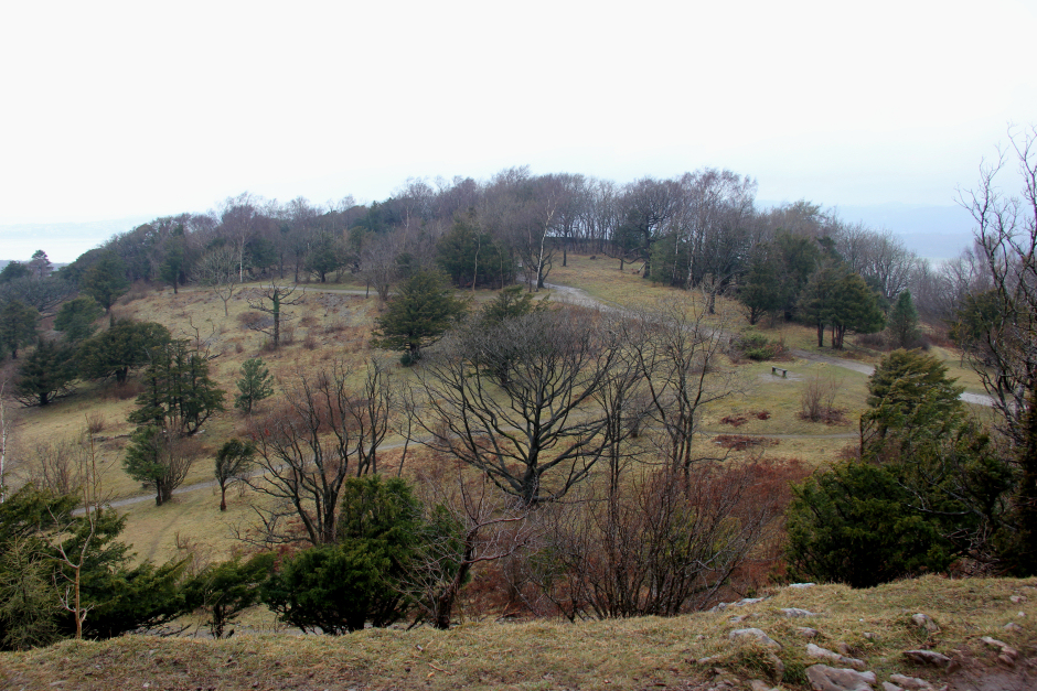
Beyond the viewpoint we walked along fairly level ground towards the summit. During the walk to the summit we passed circa fifteen people. A popular wee hill despite the rain.
On the track towards the summit of Arnside Knott:
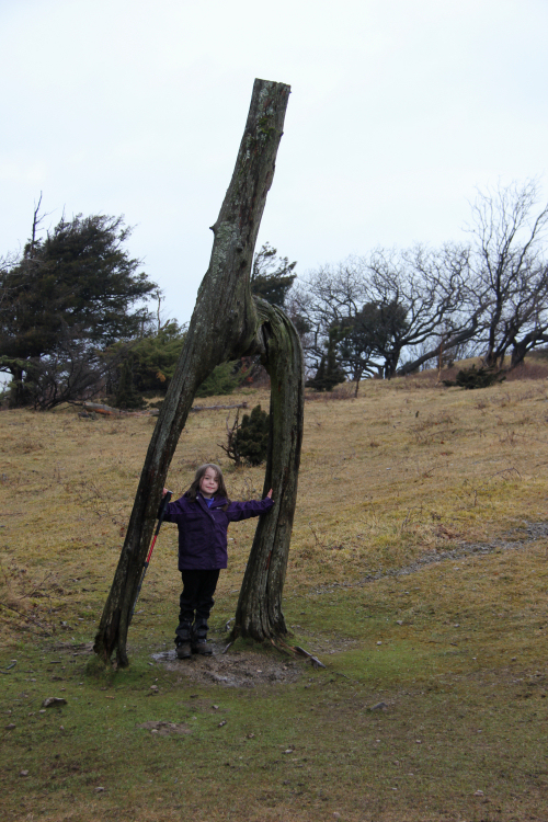
We stopped briefly for a photo at an h-shaped tree which has lots of coins pushed into its various cracks.
An h-shaped tree:
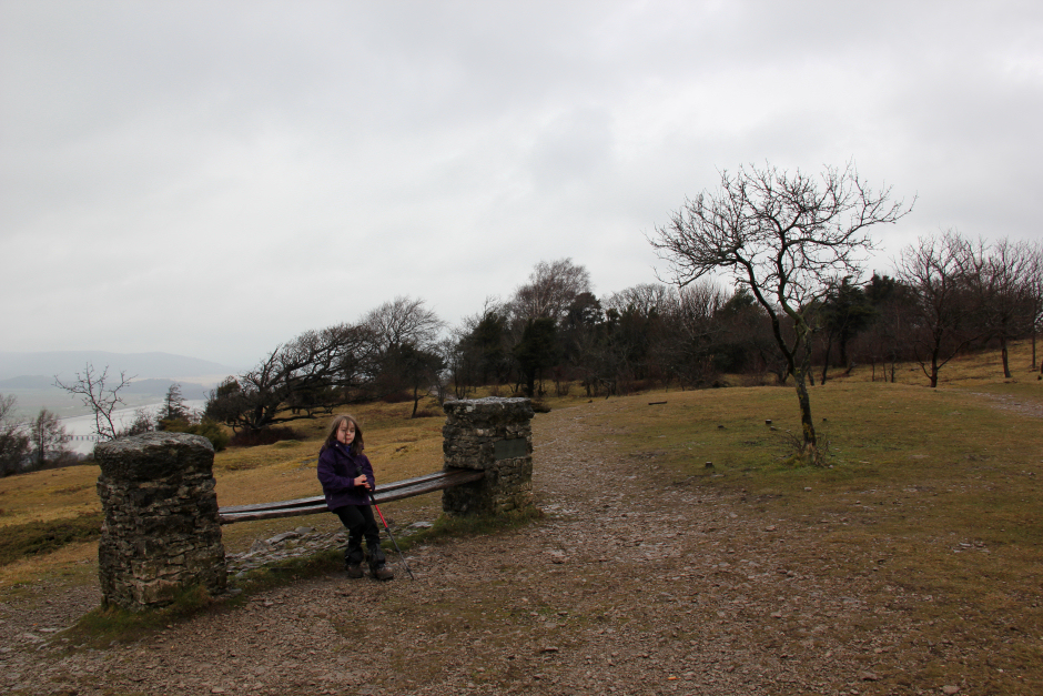
Bench near the summit of Arnside Knott:
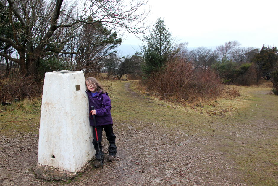
We visited the trig point and then the summit which is allegedly beside a tree 8m away from the trig point.
Becky at the Arnside Knott trig point:
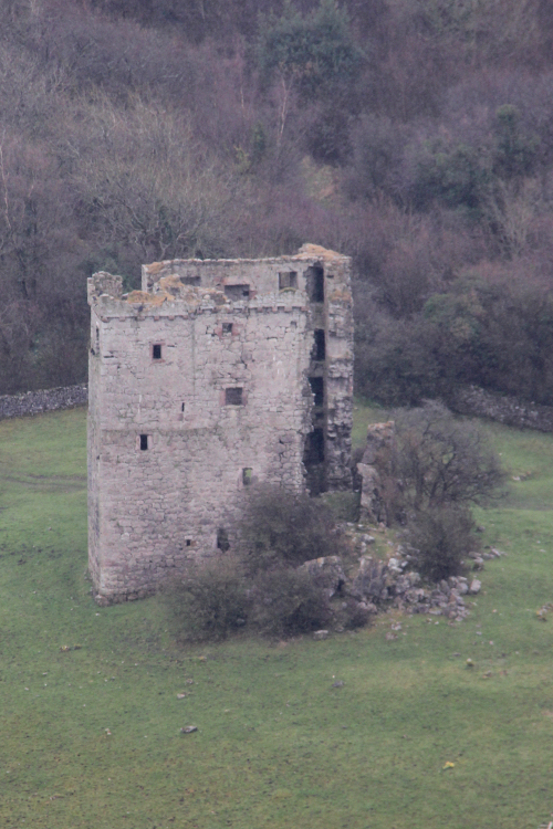
We initially took a slightly different way back which was good in that it provided views down to Arnside Tower which we had not seen during our ascent.
Arnside Tower:
Descending Arnside Knott:
We eventually met up with our ascent track which we used to descend back to the car.
I am looking forward to a few more hills during the next few days. Just hoping the weather will be better than forecast.