
Date: Friday 25th November 2016
Company: Just myself
Distance: 14.5km, Ascent: 925m
Time: 5Hrs 50Mins
I set off this morning from my weekend base in Ballachulish towards Barcaldine with a view to ascending one, two or three of the Fionas located there. Given the nights are fair drawin' in, and there is currently unconsolidated snow above 350m, I was aiming for two. Three would likely be a hill too far!
Click here to see a map of the route undertaken
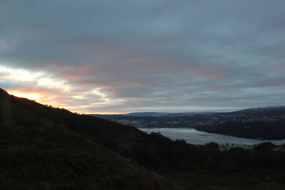
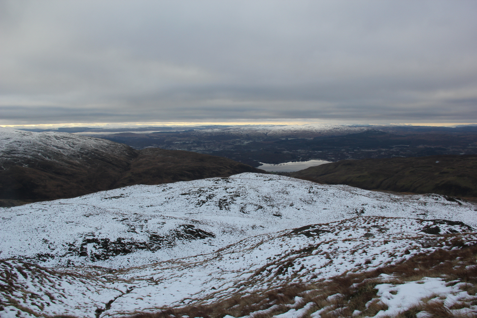
I parked just off the road at its high point directly opposite the start of the track.There is room here for two cars. I was treated to a nice sunrise while putting on my boots.
Sunrise from the 157m road high-point:
A couple of days previous, the MWIS forecast was suggesting 90% cloud-free Munros. The reality of today was 10% cloud-free Fionas!
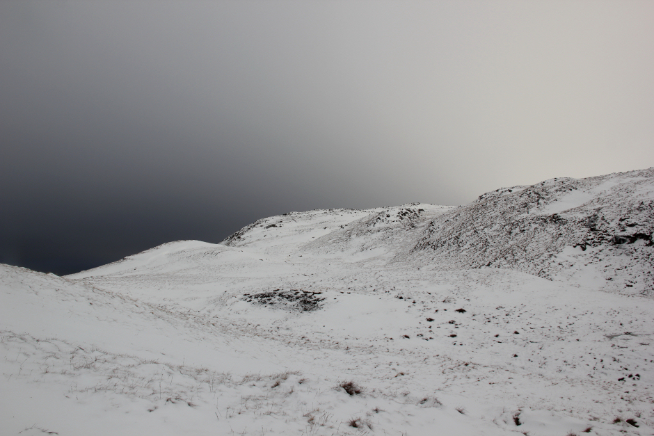
Having discussed these hills previously with one of my friends, I was expecting these hills to be rough. I was therefore a little surprised to find the ascent of Beinn Bhreac to be very straight-forward. The ATV track continues for a couple of kilometres to a height of circa 400m.
Looking back down the track towards the car:
In normal conditions, I suspect parts of the track would be a bit wet. Today, the ground was frozen hard.
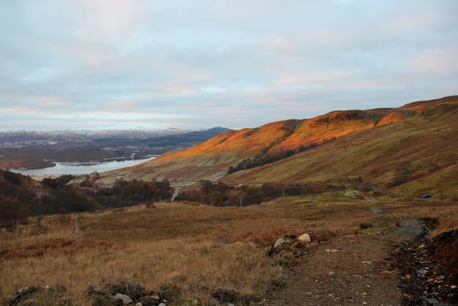
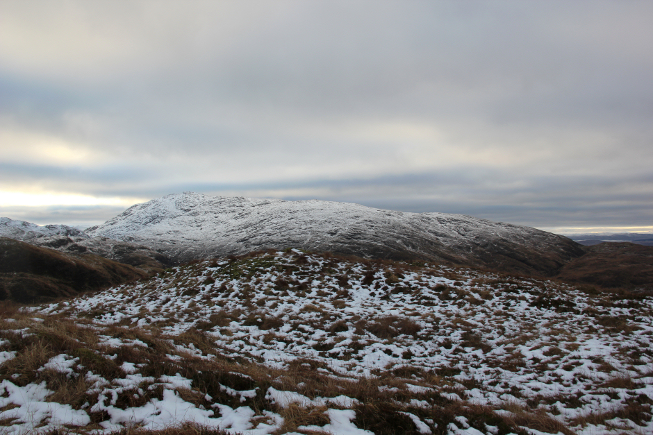
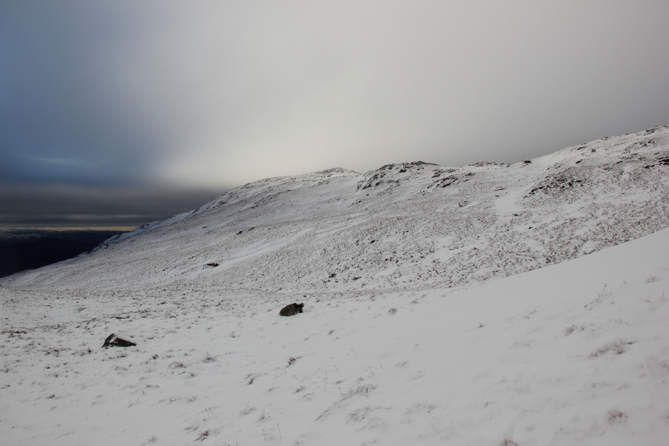
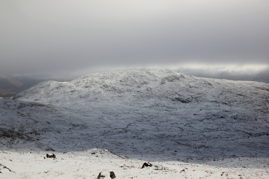
Beinn Bhreac and Mam Hael:
Beinn Bhreac:

While Mam Hael and Beinn Molurgainn are fairly easy to undertake together, Beinn Mheadhonach doesn't really form part of a natural circuit. I think Beinn Mheadhonach is better ascended on its own or perhaps combined with Beinn Duirinnis, a Sub2000ft Marilyn.
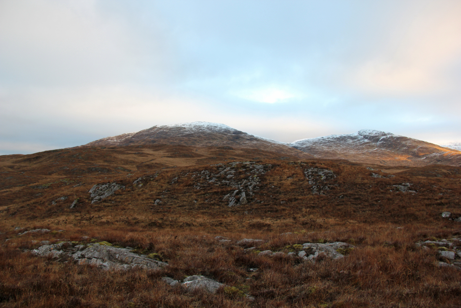
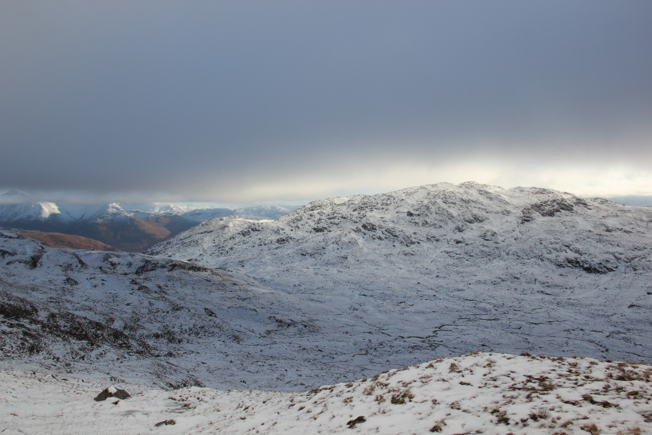
Beinn Molurgainn:
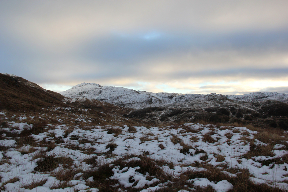
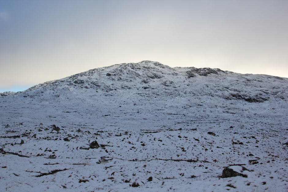
Beinn Mheadhonach:
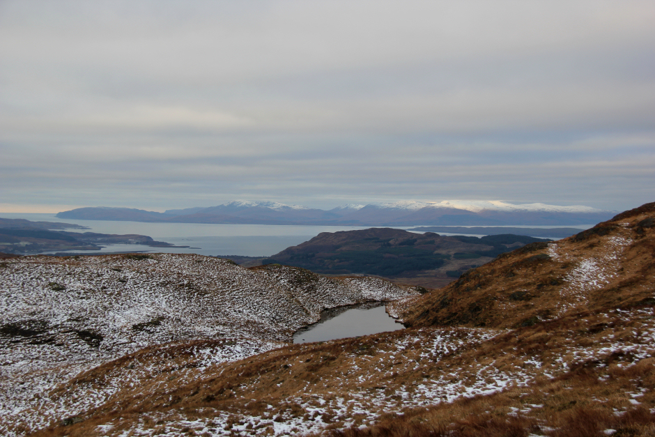
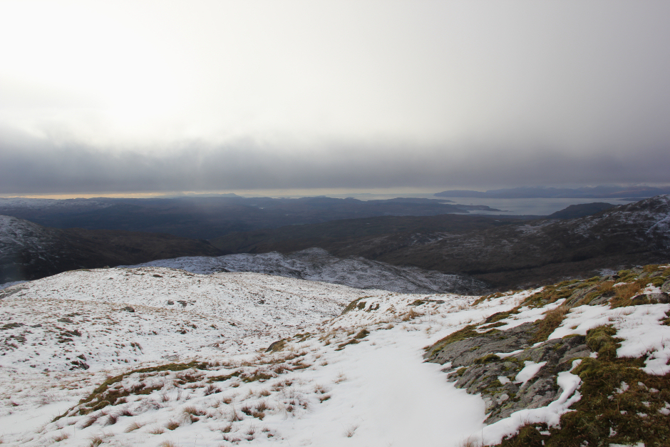
The best view of the day, was the view looking back towards Mull during the ascent of Beinn Bhreac.
Looking across to Mull during the ascent of Beinn Bhreac:
Looking back towards the start:
During the ascent of Beinn Bhreac, I had to climb over a three-foot fence. The track stops at the fence.
Ascending Beinn Bhreac:
Looking back:
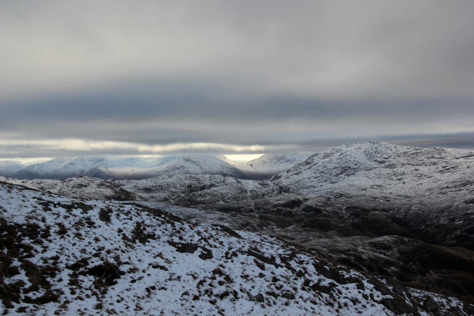
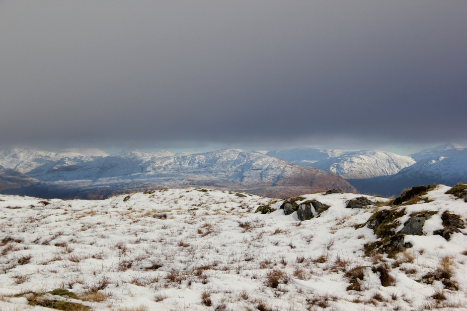
It was nice to see the Cruachan hills in the distance, albeit they were capped in cloud. As I progressed up Beinn Bhreac, the cloud level began to drop. I would soon be walking in cloud.
Cruachan hills capped in cloud:
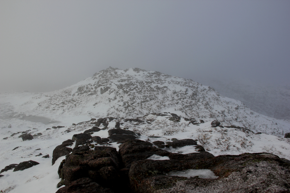
While it was good to reach the summit of Beinn Bhreac, a Fiona Top, the Fiona summit was still quite a way off.
Approaching the summit of Beinn Bhreac:
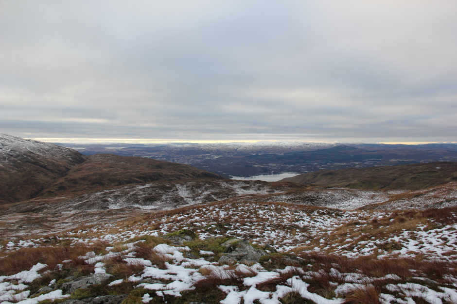
View from the summit of Beinn Bhreac:
The skies were now darkening but fortunately there was no rain or snow.
Dark skies on descent from Beinn Bhreac:
Walking through the snow was hard work as the snow was a bit wet and sticky.
Ascending Mam Hael:
Ascending Mam Hael:
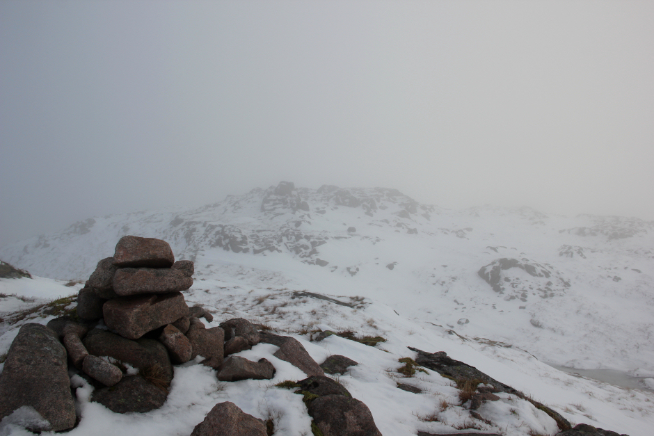
On reaching the summit, I visited the small cairn and a nearby rock which looked approximately the same height.
At the summit of Mam Hael:
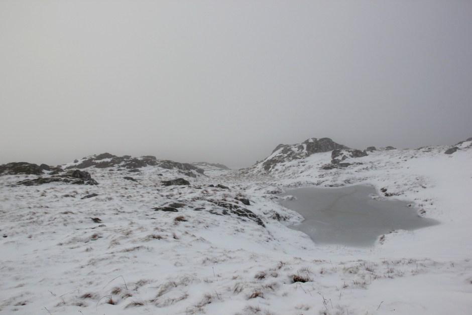
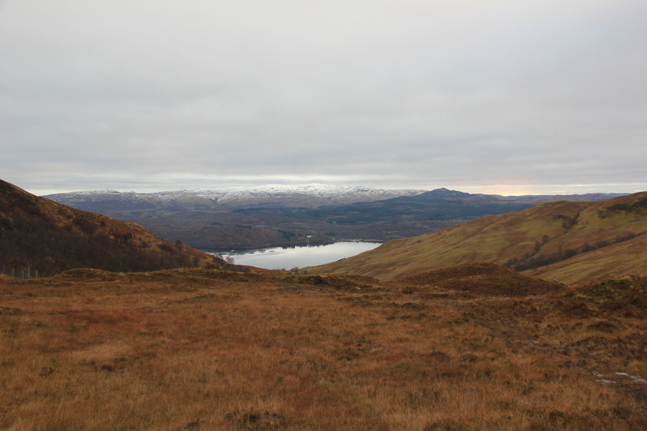
On looking at the map, I decided to descend directly towards Beinn Molurgainn instead of following the ridge. This was a good move as the descent was pleasant and it was definitely quicker.
Descent towards Beinn Molurgainn:
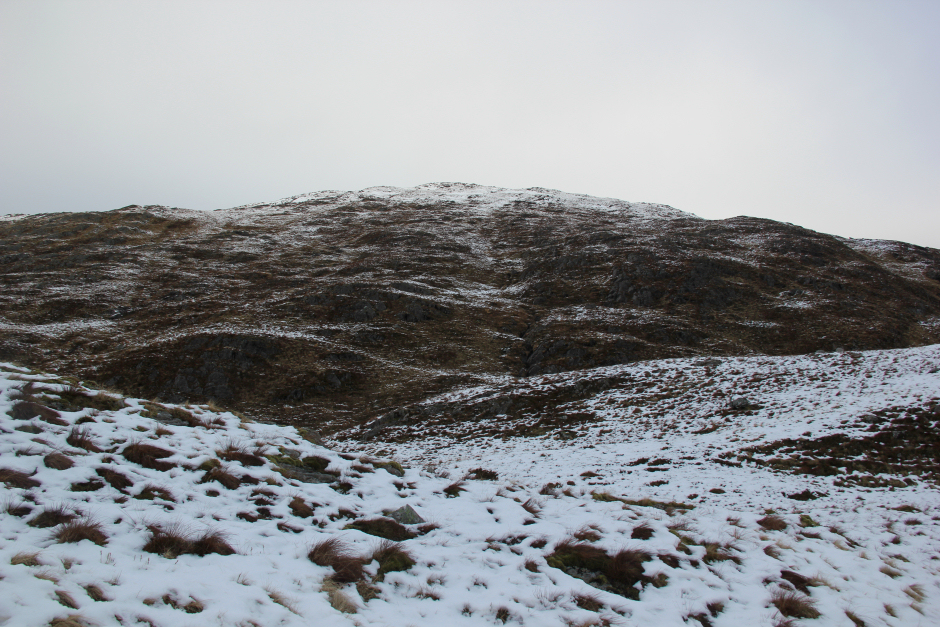
Beinn Molurgainn with Cruachan hills beyond on left:
After crossing the flat area between Mam Hael and Beinn Molurgainn, I began my ascent of Beinn Molurgainn.
Ascending Beinn Molurgainn:
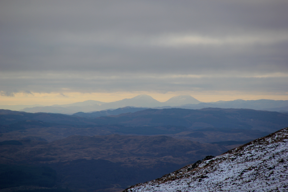
During the ascent, I could see the Paps of Jura away in the distance.
Distant Paps of Jura (zoom):
Ascending Beinn Molurgainn:

Mull in distance:

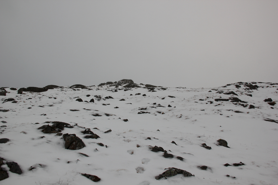
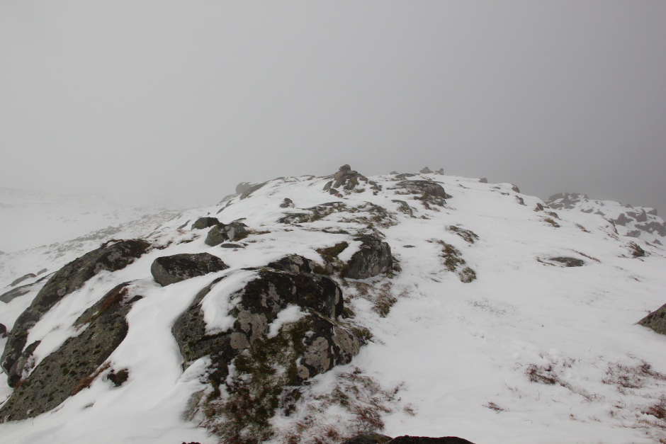
During the final ascent, I was back into the cloud. There are two high points at the summit of Beinn Molurgainn, one with a rock and one with a cairn. I wasn't sure which was higher so I visited both.
Summit of Beinn Molurgainn?:
Summit of Beinn Molurgainn?:
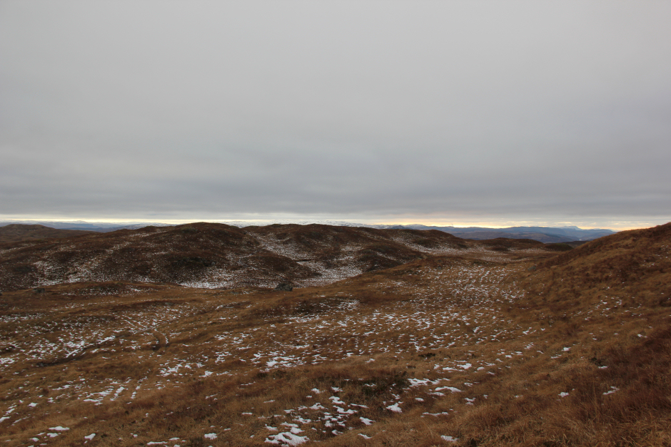
I then began my descent via the South-West ridge. This ridge has numerous knolls to go over or around.
Descent from Beinn Molurgainn:
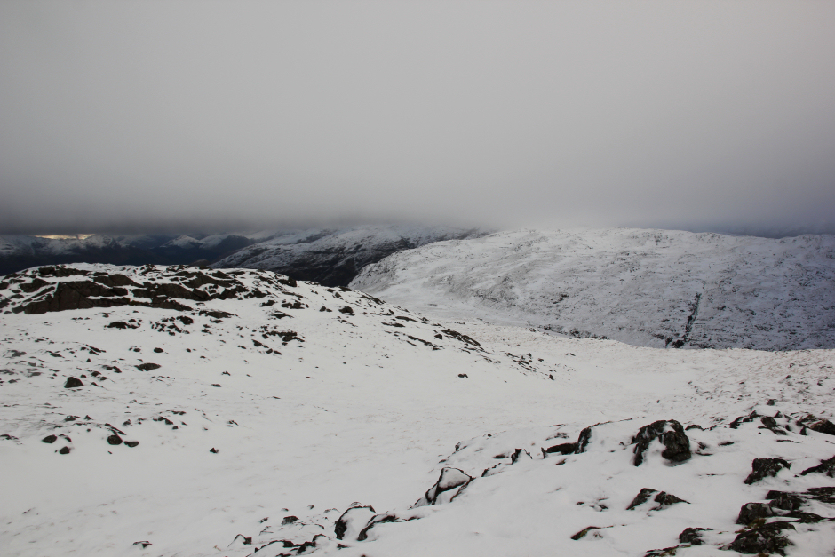
Hills below a dense layer of cloud:
Descending the South-West ridge of Beinn Molurgainn:
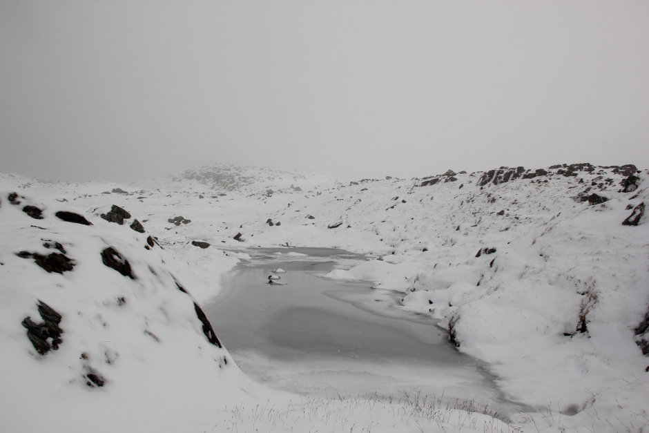
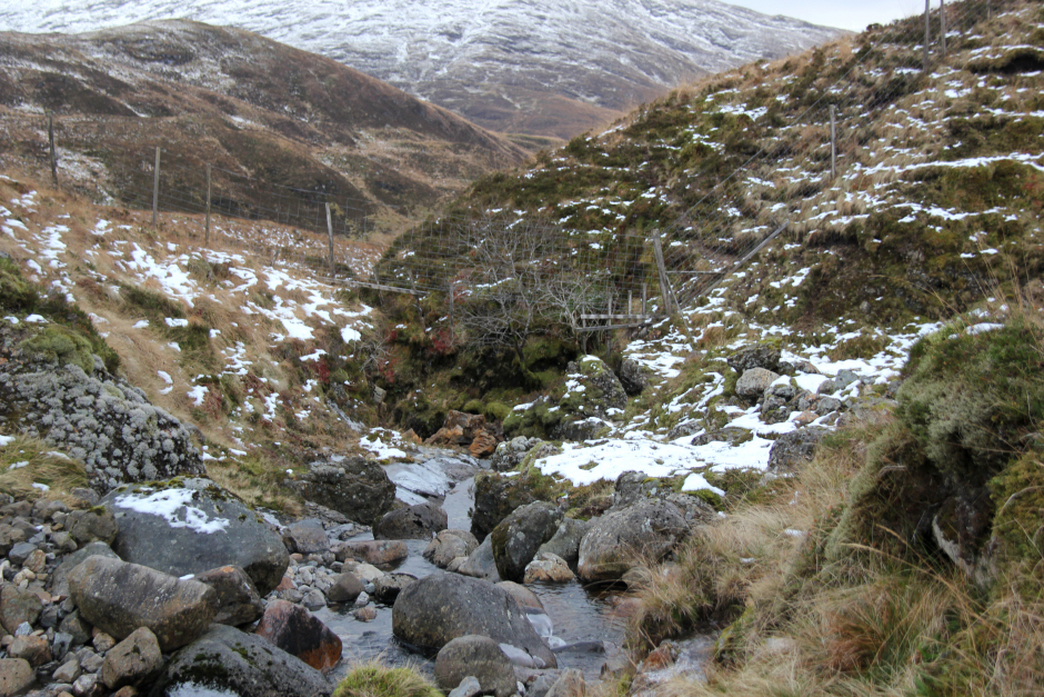
On reaching a six-foot deer fence, I managed to get underneath it beside a small burn. I knew that I would need to somehow get past a gorge if I wanted to pick up the good track ascending Beinn Bhreac. I therefore followed a path running alongside the six-foot deer fence towards the gorge. However, to get across the top of the gorge, I had to again climb over the six foot deer fence and ascend about 10-20m back uphill.
Crossing the Eas na Gearr above the gorge:
After crossing the top of the gorge, I continued uphill for a short distance and then skirted round Beinn Bhreac to pick up the track used earlier in the day.
Once on the track, it was a straight-forward descent back to the car.
Back onto the Beinn Bhreac track:
Descent back to car:
I got back to the car about 1.5 hours before sunset. Had I carried on to ascend the third Fiona, I strongly suspect I would have been walking out in the dark. Will be back for Beinn Mheadhonach another time.