
Date: Sunday 28th December 2025
Company: Myself and Ann-Marie
Distance: 15.7km, Ascent: 631m
Time: 5Hrs 35Mins
For this walk, we parked in a lay-by on the A591, a short distance outside Grasmere village, for an ascent of either Blea Rigg, Tarn Crag, or preferably both fells.
As per the past few days, the temperature from the outset was below zero.
Route:
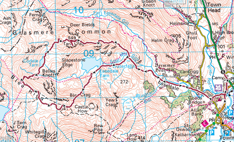
From the lay-by, we walked into Grasmere village. Immediately after crossing the River Rothay, we turned west to follow a woodland track leading to Easedale Road.
River Rothay:
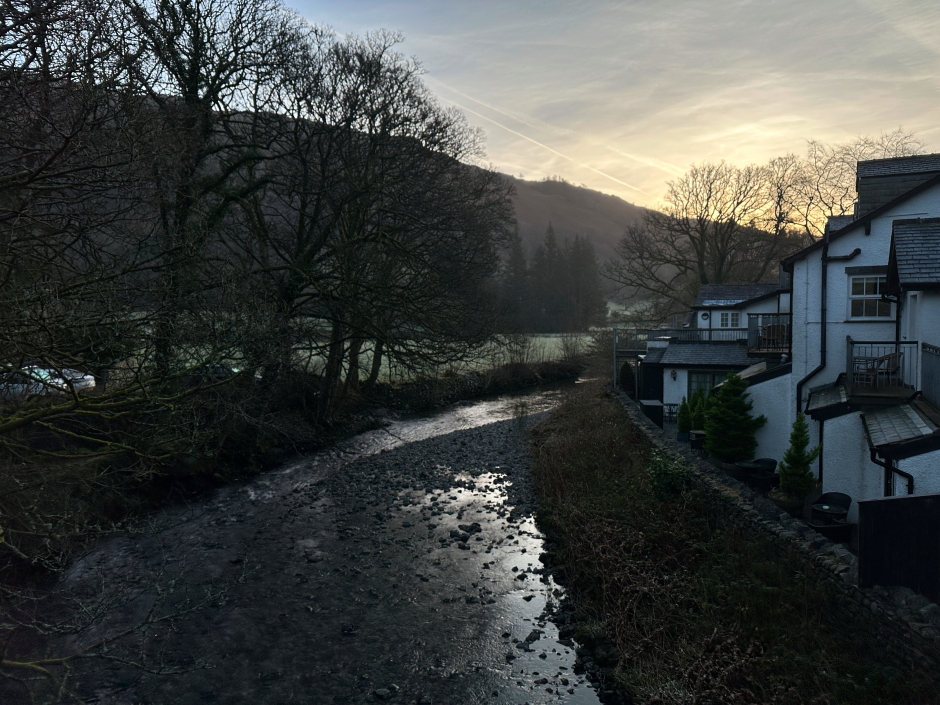
Woodland track between B5287 and Easedale Road:
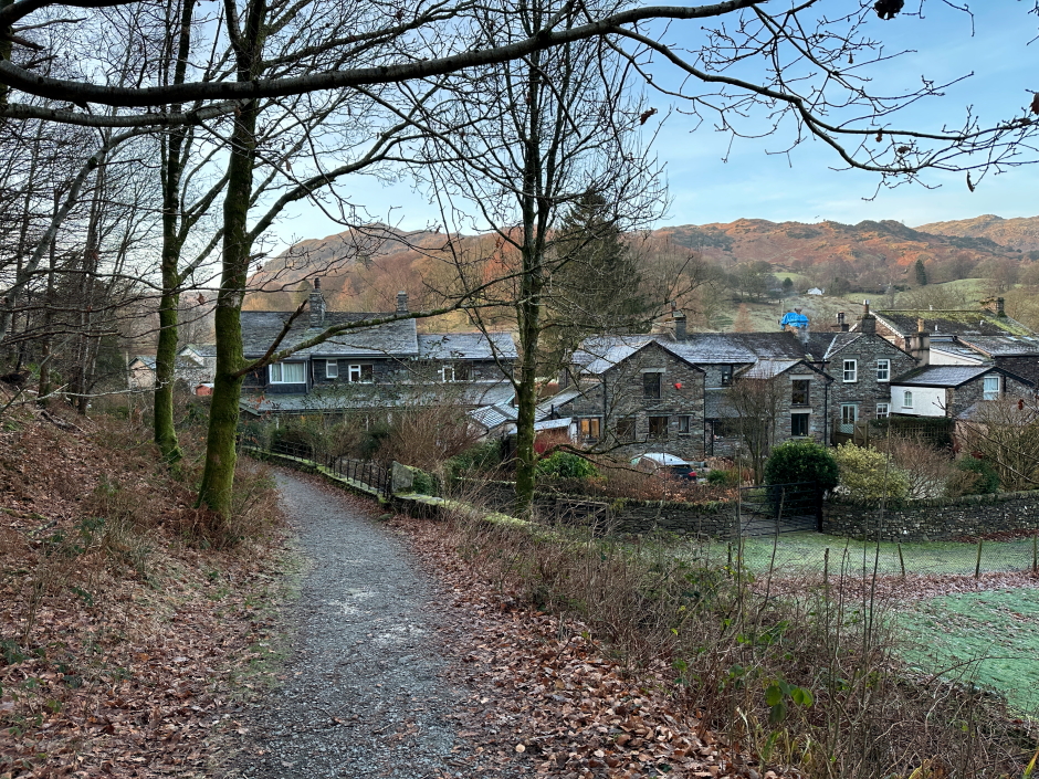
Once on Easedale Road, we walked a short distance along the road, then a short distance along an off-road path, before again having to walk along the road.
Off-road path alongside Easedale Road:
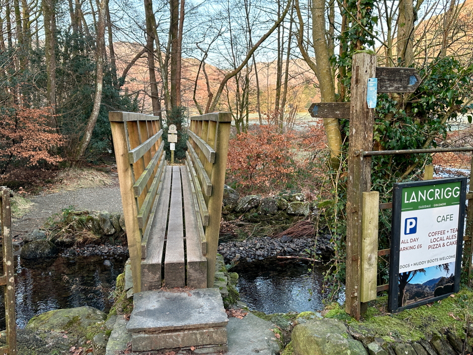
On reaching the start of the Easedale track, which leads towards Easedale Tarn, we crossed a wooden footbridge and then continued to follow the Easedale track.
Footbridge at start of track leading towards Easedale Tarn:
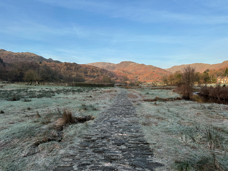
The initial Easedale track, and several sections leading-up towards Easedale Tarn, have been constructed to prevent erosion. While this track may be pleasant enough to walk on for most of the year, when covered in frost and ice, it is really not the best.
Easedale track:
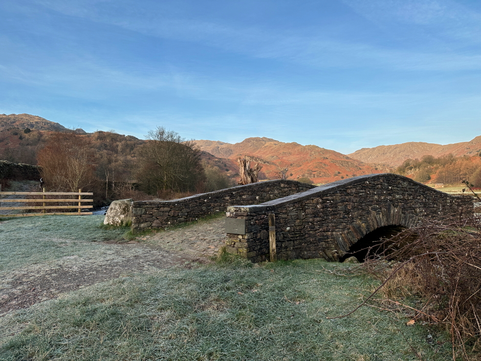
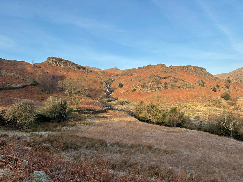
We continued along the track passing New Bridge, without going over the bridge, following the track leading towards a nice waterfall with Easdale Tarn beyond.
New Bridge:
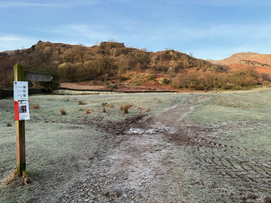
Waymarker for Easedale Tarn:
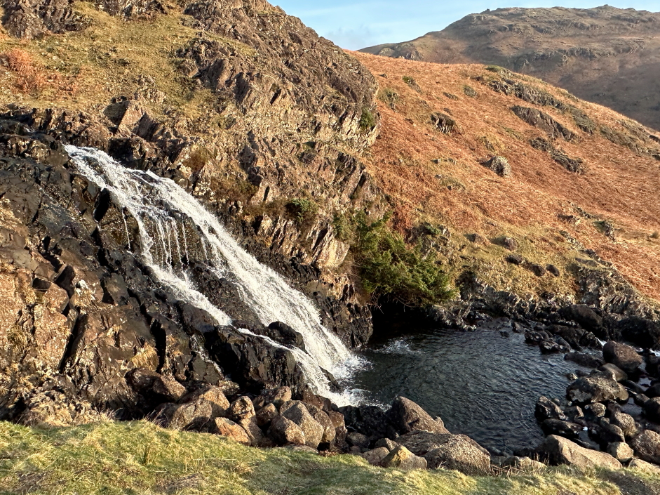
The waterfall is nice from a distance and even better close-up. The track leading to Easedale Tarn passes close to the waterfall.
View towards Sourmilk Gill waterfall:
Sourmilk Gill waterfall:
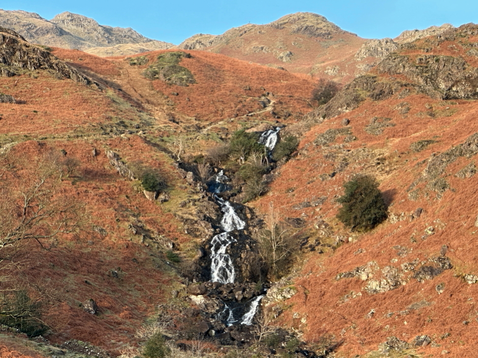
Sourmilk Gill waterfall:
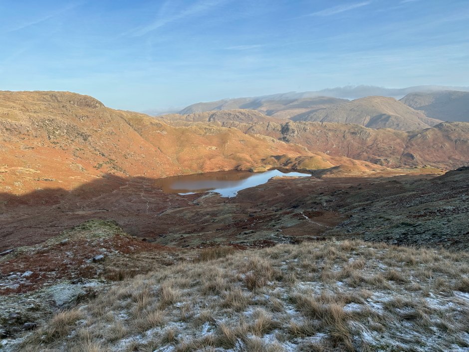
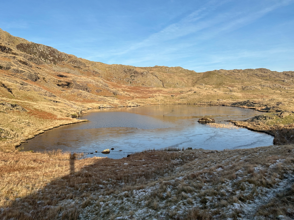
Beyond the waterfall, we continued on to reach Easedale Tarn. We were having to go at a slower pace than normal as there was lots of ice on the path.
Easedale Tarn:

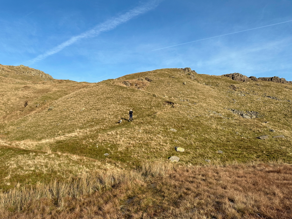
From Easedale Tarn, we opted to ascend towards Blea Rigg. Again, we had to take care during the ascent to avoid patches of thick ice. There was no need for crampons or microspikes as all the ice was avoidable.
Ascent towards Blea Rigg:
Looking back to Easedale Tarn during ascent of Blea Rigg:
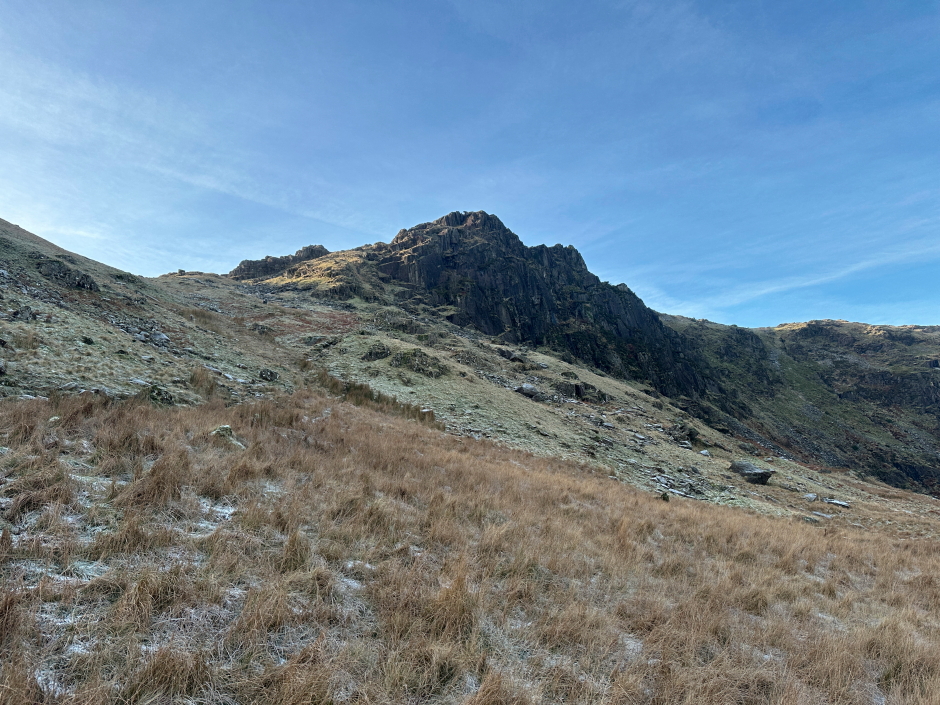
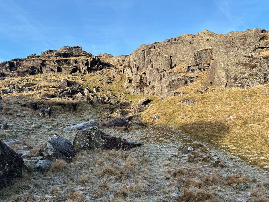
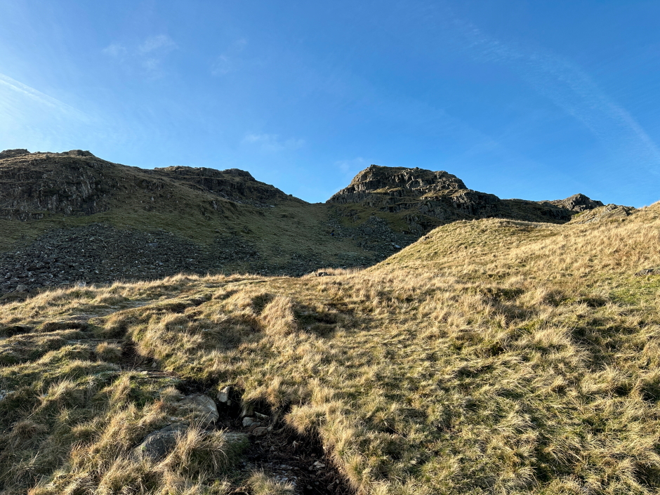
On approaching the tarn, I wasn't quite sure which way to go, as both paths marked on the map seemed to skirt round the summit rather than lead to the summit. We therefore made our way up through the crags and soon found a faint path leading up to the summit.
Approaching Blea Crag:
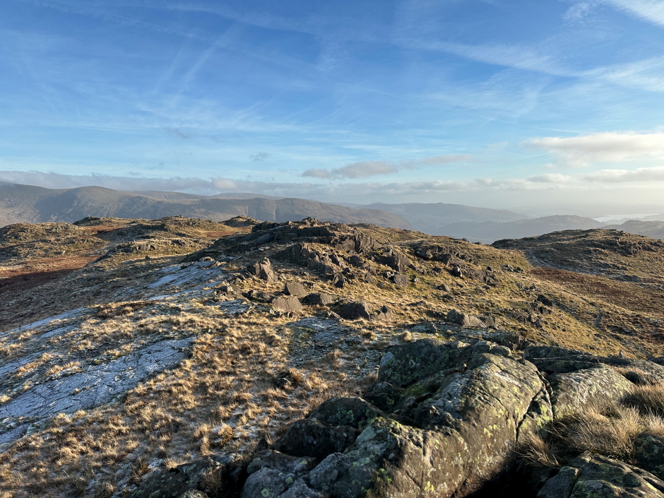
On reaching the summit, we stopped to talk with a couple who were already at the summit. We got talking about the Wainwrights and then the Munros before parting company.
At Blea Rigg summit:
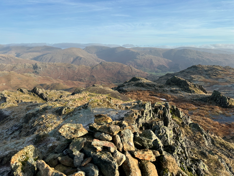
View from summit of Blea Rigg:
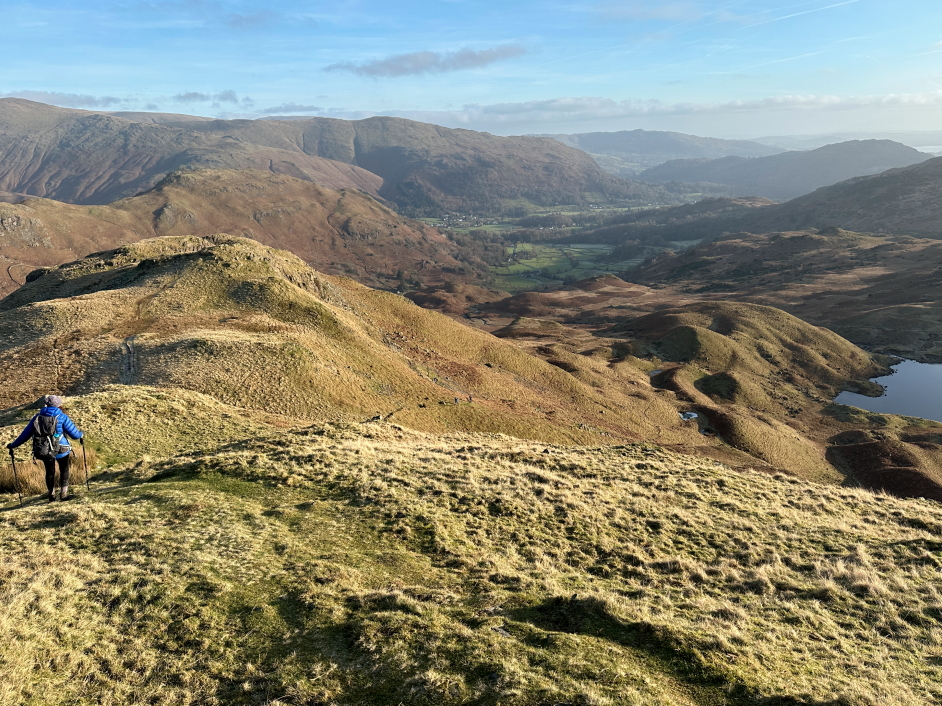
From the summit of Blea Rigg, I opted to continue round Blea Rigg with a view to reaching Codale Tarn from which, at least on the map, there looked to be a straightforward ascent to Tarn Crag.
On reaching the track leading down to Easedale Tarn, we found the track to have too much ice to walk on, so instead made our way down grass slopes towards Codale Tarn.
Codale Tarn:
On reaching the tarn, we stopped for a drink and some food before continuing on to Tarn Crag.
Ascent towards Tarn Crag:
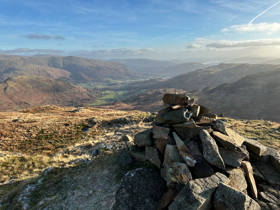
On reaching a plateau area on Tarn Crag, I was surprised to find so many knolls. Which one was the Wainwright? We initially visited the highest knolls but then checked the Database of British Hills to find the Wainwright summit was not the highest knoll, it was the one with the cairn.
View from one of numerous Tarn Crag knolls:
View from one of numerous Tarn Crag knolls:
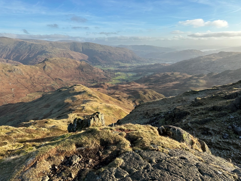
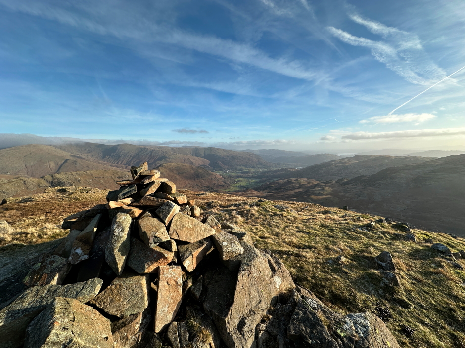
After visiting the Wainwright summit of Tarn Crag, we carefully made our way down the east ridge, again having to take great care in icy sections.
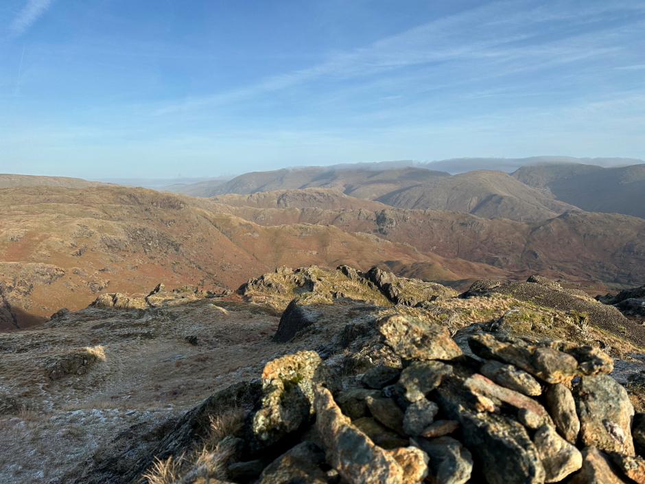
View from Tarn Crag (Wainright top):
View from Tarn Crag (Wainwright top):
Looking back to Tarn Crag during initial descent:
Descending Tarn Crag's east ridge:
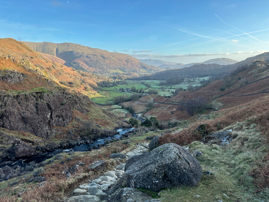
On reaching the track junction between Stenners Crag and Ecton Crag, we left the track, and crossed over the beck, to reach the track we had walked-in that morning.
Looking down towards Easedale Tarn, I could see numerous small mounds which look to be moraine or possibly even drumlin deposited by a glacier?
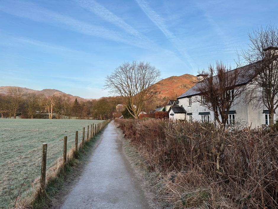
We then retraced our in-bound route back to Grasmere village and beyond to the car.
Descent back towards Grasmere:
This walk was considerably better than expected. A walk I would definitely repeat.